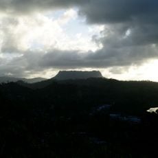
Cape Maisí, Eastern coastal promontory in Guantánamo Province, Cuba
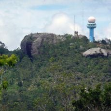
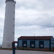
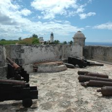
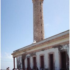
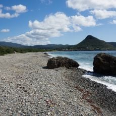
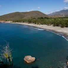
Cape Maisí is a rocky promontory that marks Cuba's easternmost point where mountains meet the Atlantic. The Punta Maisí Lighthouse sits on this headland to guide ships safely through the passage.
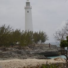
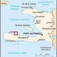
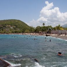
Since colonial times, this headland has guided ships through the Windward Passage between Cuba and Haiti. Its position made it essential for navigating the major trade routes that connected the Caribbean islands.
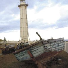
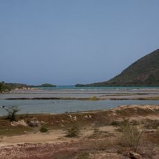
Fishing communities near the cape continue traditional harvesting methods that have shaped daily life for generations. These practices remain visible in how local people interact with the sea as both workplace and identity.
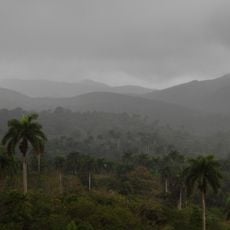
The cape is accessible by road from Guantánamo, though the route passes through rural areas with limited signs. It is best to travel during daylight hours and bring a map or ask for local directions to navigate easily.
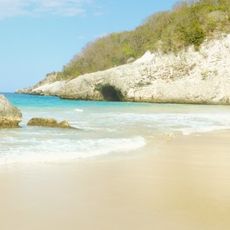
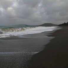
The waters here mark where the Caribbean Sea transitions to the Atlantic Ocean, creating a natural boundary zone. Sailors and observers often notice changes in currents and wave patterns at this point.
The community of curious travelers
AroundUs brings together thousands of curated places, local tips, and hidden gems, enriched daily by 60,000 contributors worldwide.