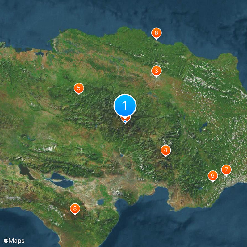
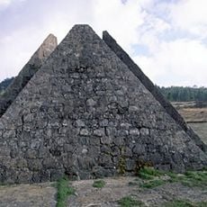
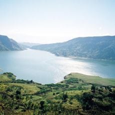
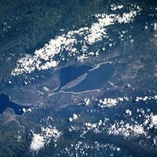
Cordillera Central, Mountain range in western Dominican Republic
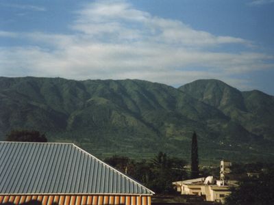
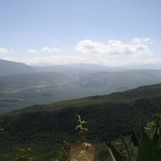
The Cordillera Central stretches from west of Santo Domingo to the Haiti border, marked by numerous peaks across its expanse. The highest point in the Caribbean stands here, with other significant summits creating a long mountain spine that divides the island.
This mountain range formed over time through geological processes, becoming a natural barrier that shaped where people could settle during early colonial times. It forced early inhabitants to cluster in valleys and coastal areas, leaving the interior sparsely populated.
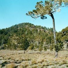
Mountain villages here maintain agricultural methods adapted to the steep terrain, with residents cultivating coffee and cacao in ways passed down through generations. These farming practices shape both the landscape and the daily rhythms of life in the high altitude communities.
Come prepared with sturdy hiking boots and weather-resistant gear, as conditions change quickly at higher elevations. A local guide with mountain experience is essential for safely navigating the trails and understanding the terrain.
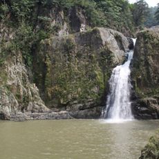
This mountain range is the birthplace of three major rivers that supply water across much of the island: the Yuna, Yaque del Norte, and Yaque del Sur. These waterways sustain agriculture and communities far beyond the mountains themselves.
The community of curious travelers
AroundUs brings together thousands of curated places, local tips, and hidden gems, enriched daily by 60,000 contributors worldwide.