Artibonite, Administrative department in central Haiti
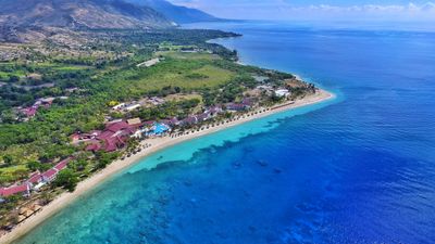
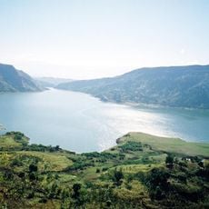
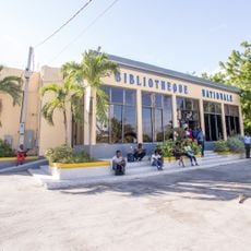
Artibonite is an administrative department in central Haiti with Gonaïves as its capital, covering approximately 5,000 square kilometers. The region is divided into five administrative subdivisions and is defined by the river of the same name that flows through the landscape.
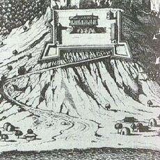
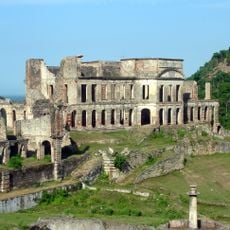
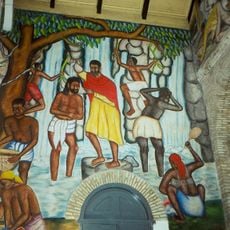
The area became a significant scene during Haiti's independence movements at the end of the 1700s. In modern times, the region experienced tumultuous political events in the early 2000s that shaped the nation's trajectory.
The name Artibonite comes from Taino language and refers to the sacred character of the river that dominates the territory. Local farmers organize their lives and work cycles around seasonal floods and water availability from this waterway.
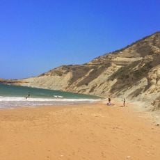
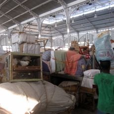
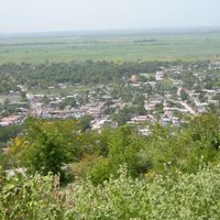
The area is Haiti's center of rice production and offers wide expanses of green fields during harvest season. Visitors should be aware that heavy rains can cause flooding, particularly from May through October.
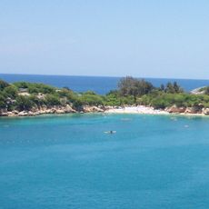
The area is home to one of Haiti's largest mangrove forests, providing refuge for diverse wildlife. These coastal wetlands remain rarely visited despite being vital to the country's ecological balance.
Location: Haiti
Capital city: Gonaïves
Shares border with: Nord-Ouest, Nord, Centre, Ouest
GPS coordinates: 19.45000,-72.68330
Latest update: December 7, 2025 20:49
Citadelle Laferrière
48.1 km
Labadee
59.2 km
National Palace
107.3 km
Sans-Souci Palace
51.7 km
Le Marron Inconnu
107.1 km
Cathedral of Our Lady of the Assumption
106.7 km
Haitian National Pantheon Museum
107.3 km
Royal Chapel of Milot
51.5 km
Fort de Rocher
62.3 km
Monte Cristi National Park
109.1 km
Péligre Dam
91.3 km
Adlabs Imagica Deep Space
98.8 km
National History Park
48.1 km
Marché en Fer
106.2 km
Holy Trinity Cathedral, Port-au-Prince
106.9 km
Port-au-Prince Haiti Temple
111.5 km
Our Lady of the Assumption Cathedral, Cap-Haïtien
61.3 km
Lake Péligre
93.8 km
National Library of Haiti
106.8 km
Al Fatiha Mosque
106.4 km
Ramiers
48.1 km
Morne Jean
59.6 kmBoukman Buhara Mosque
69.5 kmPhare de l'île de la Tortue
74.3 km
Pointe du Lamentin Lighthouse
103.9 kmTortuga Lighthouse
61.2 kmPhare de la Pointe Ouest
87 kmPointe Fantasque Lighthouse
85.4 kmVisited this place? Tap the stars to rate it and share your experience / photos with the community! Try now! You can cancel it anytime.
Discover hidden gems everywhere you go!
From secret cafés to breathtaking viewpoints, skip the crowded tourist spots and find places that match your style. Our app makes it easy with voice search, smart filtering, route optimization, and insider tips from travelers worldwide. Download now for the complete mobile experience.
A unique approach to discovering new places❞
— Le Figaro
All the places worth exploring❞
— France Info
A tailor-made excursion in just a few clicks❞
— 20 Minutes