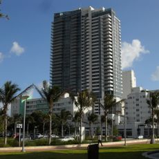
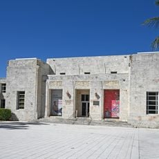
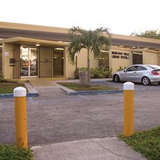
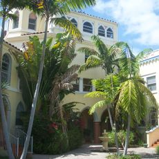
Normandy Isles Historic District, Historic district in Miami Beach, United States.
Normandy Isles Historic District covers the Normandy Isles neighborhood of Miami Beach, roughly bounded by the Normandy Shores Golf Course, Indian Creek, Biscayne Bay, Rue Versailles, 71st Street and Rue Notre Dame. The district was listed on the U.S. National Register of Historic Places on November 12, 2008. It lies in Miami-Dade County at about 25.8546, -80.1310.
The neighborhood developed from the late 1920s through the early 1930s as Miami Beach expanded into suburban areas. This period marked a shift toward innovative residential architecture and design approaches.
The district's street names carry the Normandy reference: Rue Versailles, Rue Notre Dame and 71st Street mark its edges, alongside Indian Creek and Biscayne Bay. The French place names were given by the developers who laid out the neighborhood, and they remain the everyday addresses residents use.
The district lies in Miami Beach, Miami-Dade County, at roughly 25.8546, -80.1310. Its boundary runs along the Normandy Shores Golf Course, Indian Creek, Biscayne Bay, Rue Versailles, 71st Street and Rue Notre Dame, so a boundary map helps when orienting yourself on foot.
The area received recognition on the National Register of Historic Places in 2008 for its architectural collection. Its boundaries follow the natural markers created by the Normandy Shores Golf Course and Biscayne Bay.
The community of curious travelers
AroundUs brings together thousands of curated places, local tips, and hidden gems, enriched daily by 94,535 contributors worldwide.