Enable Location

We need your location to show you interesting places around you

Discover nearby places

Find interesting locations and hidden gems around you

Precise directions

Get accurate directions and distances to places

Your location is never shared with other users. It's only used when you tap the location button.

Brunswick County

Log in to your account

Start exploring — it's free

Trusted by 61,658 travelers worldwide

Continue with Google
Continue with Apple
or

We will send you a code to connect

By continuing, you accept our Terms and Conditions and our Privacy Policy

Check your inbox

We've sent a pincode in your inbox. Please enter the code below.

Brunswick County, Administrative division in southeastern North Carolina, United States

Description

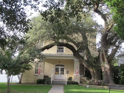
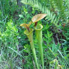
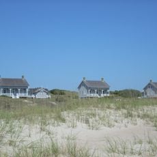
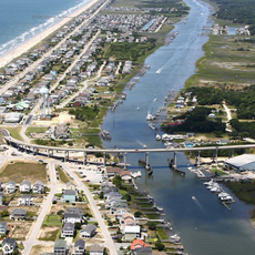
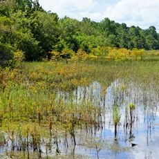
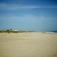
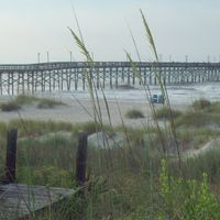
Brunswick County is an administrative division in southeastern North Carolina, stretching between the Cape Fear River and the South Carolina border. The region combines coastal beaches, wetlands, and pine forests into a varied landscape with multiple natural environments.

History

The county was established in 1764 from portions of New Hanover and Bladen counties, taking its name from the House of Brunswick-Lunenburg. This creation made it a significant part of royal colonial administration in the region.

Culture

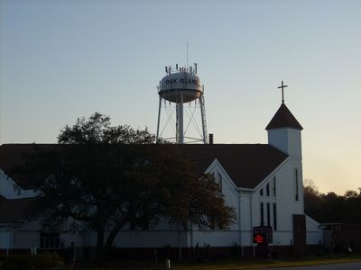
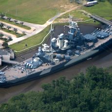
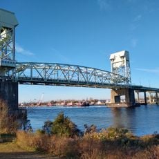
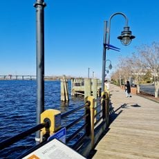
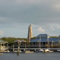
The region maintains deep connections to the sea through its fishing communities and the way coastal life shapes daily routines for residents. Visitors can observe these maritime traditions reflected in local practices and the character of waterfront settlements.

Practical

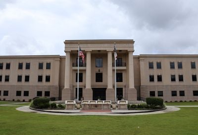
The administrative center in Bolivia operates during weekday business hours and handles citizen services. Visitors should plan ahead and verify which departments they need before visiting or call in advance to ensure services are available.

Did you know?

The county participates in the NC Cardinal library system, connecting residents with extensive collections of books and digital materials. This network extends access to resources across multiple counties and institutions throughout the state.

Location
Inception
1764
Capital city
Bolivia
Shares border with
Pender County, New Hanover County, Columbus County, Horry County
GPS coordinates
34.04000,-78.22000
Latest update
December 14, 2025 19:08

AroundUs brings together thousands of curated places, local tips, and hidden gems, enriched daily by 60,000 contributors worldwide. Discover all places nearby (North Carolina).

Around this place
USS North Carolina
United States of America

USS North Carolina

32.8 km
Orton Plantation
United States of America

Orton Plantation

25.3 km
Bald Head Light
United States of America

Bald Head Light

27.5 km
Brunswick Town
United States of America

Brunswick Town

25.2 km
Oak Island Light
United States of America

Oak Island Light

23.7 km
Cape Fear Memorial Bridge
United States of America

Cape Fear Memorial Bridge

32.4 km
Green Swamp
United States of America

Green Swamp

9.4 km
North Carolina Baptist Assembly
United States of America

North Carolina Baptist Assembly

24.7 km
Fort Johnston
United States of America

Fort Johnston

23.1 km
Fort Anderson
United States of America

Fort Anderson

25.3 km
Fort Caswell Historic District
United States of America

Fort Caswell Historic District

24.3 km
Confederate Memorial
United States of America

Confederate Memorial

33.3 km
St. Mary Catholic Church
United States of America

St. Mary Catholic Church

33.3 km
St. Philip's Church, Brunswick Town
United States of America

St. Philip's Church, Brunswick Town

25.2 km
Cape Fear Light
United States of America

Cape Fear Light

23.7 km
Price Creek Light
United States of America

Price Creek Light

24.2 km
Temple of Israel
United States of America

Temple of Israel

33.4 km
Murchison Building
United States of America

Murchison Building

33.3 km
Wilmington Historic District
United States of America

Wilmington Historic District

33 km
Thalian Hall
United States of America

Thalian Hall

33.4 km
Holden Beach Bridge
United States of America

Holden Beach Bridge

14.4 km
The George Davis Monument
United States of America

The George Davis Monument

33.4 km
Cape Fear Museum
United States of America

Cape Fear Museum

33.9 km
St. James Episcopal Church
United States of America

St. James Episcopal Church

33.3 km
Lake Waccamaw State Park
United States of America

Lake Waccamaw State Park

33.4 km
Alton Lennon Federal Building and Courthouse
United States of America

Alton Lennon Federal Building and Courthouse

33 km
United States of America

Cape Fear Skyway

28.6 km
Wilmington Riverwalk
United States of America

Wilmington Riverwalk

33.2 km
Show the full map
« Brunswick County - Administrative division in southeastern North Carolina, United States » is provided by Around Us (aroundus.com). Images and texts are derived from Wikimedia project under a Creative Commons license. You are allowed to copy, distribute, and modify copies of this page, under the conditions set by the license, as long as this note is clearly visible.

Discover hidden gems everywhere you go!

From secret cafés to breathtaking viewpoints, skip the crowded tourist spots and find places that match your style. Our app makes it easy with voice search, smart filtering, route optimization, and insider tips from travelers worldwide. Download now for the complete mobile experience.

Around Us App Screenshot

A unique approach to discovering new places

Le Figaro

All the places worth exploring

France Info

A tailor-made excursion in just a few clicks

20 Minutes

Around Us
Travel Guide & Maps
Download

Send to your phone

QR Code
1

Open the camera app on your mobile.

2

Point at the QR code with your camera. A notification will appear.

3

Tap the notification to open the link.