Chest opened
+${chestReward.xp} XP
Explorer
NOUVEAU ×${chestReward.collectible.quantity}
tapez pour fermer
Chest locked

Open chests in the app

Around Us is built for your phone — chests unlock when you walk, explore and capture nearby places.

Enable Location

We need your location to show you interesting places around you

Discover nearby places

Find interesting locations and hidden gems around you

Precise directions

Get accurate directions and distances to places

Your location is never shared with other users. It's only used when you tap the location button.

Oak Island

Log in to your account

Start exploring — it's free

Trusted by 72,884 travelers worldwide

Continue with Google
Continue with Apple
or

We will send you a code to connect

By continuing, you accept our Terms and Conditions and our Privacy Policy

Check your inbox

We've sent a pincode in your inbox. Please enter the code below.

Oak Island
Discussion Reviews 1 Photos
11.5k Popularity

Oak Island, Coastal island in Brunswick County, United States

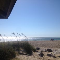
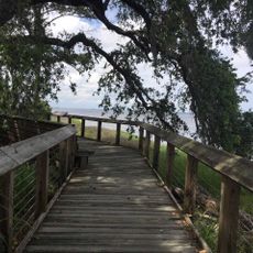
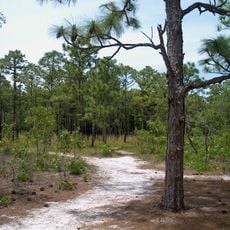
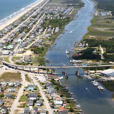
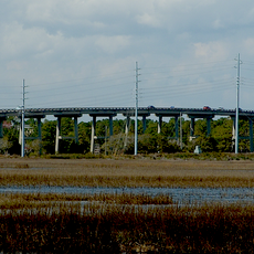
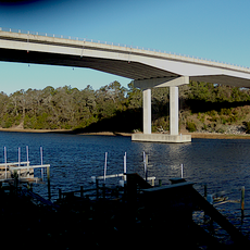
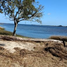
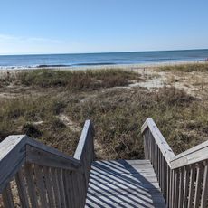
Oak Island is a coastal island in North Carolina that stretches about 7 miles along the Atlantic, featuring broad sandy beaches with multiple public access points throughout. The terrain is bordered by the Intracoastal Waterway on the western side and connected to the mainland by two bridges.

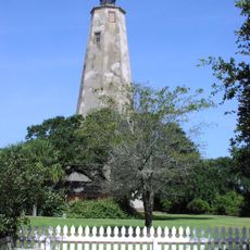
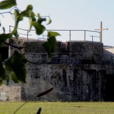
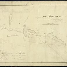
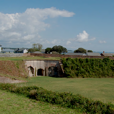
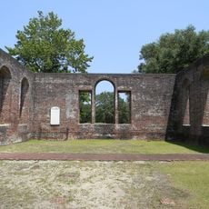
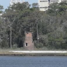
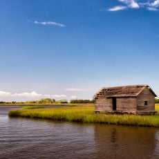
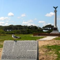
Fort Caswell was built in 1838 on the eastern end, marking the beginning of permanent settlement on the island. Over the 20th century the area gradually developed into a residential and recreational destination.

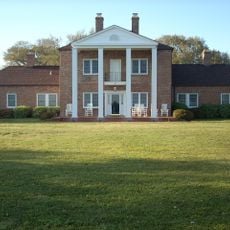
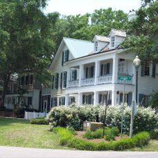
The island is home to residents seeking a quiet coastal lifestyle, with local shops and restaurants that serve both community members and visitors. Daily life centers on proximity to the water and the rhythm of the tides.

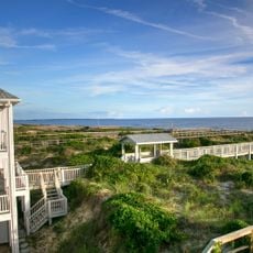
Visitors can access beaches and public areas year-round, with warmer months being most popular for swimming and relaxation. The two bridges provide clear orientation points that mark the island's boundaries and enable easy access from the mainland.

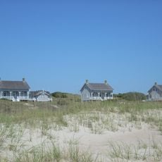
Hurricane Hazel devastated the western side in 1954, destroying nearly all buildings except for five, demonstrating the power of coastal storms. This history of destruction and rebuilding still shapes residents' awareness of natural forces today.

The community of curious travelers

AroundUs brings together thousands of curated places, local tips, and hidden gems, enriched daily by 60,000 contributors worldwide.

Start exploring
Location
GPS coordinates
33.91370,-78.11110
Latest update
December 8, 2025 13:40
Around this place
Fort Fisher
United States of America

Fort Fisher

18.8 km
Orton Plantation
United States of America

Orton Plantation

22.3 km
Bald Head Light
United States of America

Bald Head Light

11.2 km
Brunswick Town
United States of America

Brunswick Town

20.7 km
Oak Island Light
United States of America

Oak Island Light

7.4 km
North Carolina Baptist Assembly
United States of America

North Carolina Baptist Assembly

8.7 km
Fort Johnston
United States of America

Fort Johnston

8.7 km
Fort Anderson
United States of America

Fort Anderson

20.7 km
Carolina Beach State Park
United States of America

Carolina Beach State Park

24 km
Fort Caswell Historic District
United States of America

Fort Caswell Historic District

8.1 km
Fort Fisher State Recreation Area
United States of America

Fort Fisher State Recreation Area

17.4 km
St. Philip's Church, Brunswick Town
United States of America

St. Philip's Church, Brunswick Town

20.8 km
Cape Fear Light
United States of America

Cape Fear Light

7.4 km
Price Creek Light
United States of America

Price Creek Light

11.5 km
Holden Beach Bridge
United States of America

Holden Beach Bridge

14.5 km
G. V. Barbee Bridge
United States of America

G. V. Barbee Bridge

3.7 km
Corncake Inlet, North Carolina
United States of America

Corncake Inlet, North Carolina

15.4 km
Brunswick Town Historic District
United States of America

Brunswick Town Historic District

20.9 km
Swain's Cut Bridge
United States of America

Swain's Cut Bridge

4.7 km
Brunswick County Courthouse
United States of America

Brunswick County Courthouse

8.6 km
Hatch Auditorium
United States of America

Hatch Auditorium

8.9 km
Southport Historic District
United States of America

Southport Historic District

8.4 km
Bald Head Creek Boathouse
United States of America

Bald Head Creek Boathouse

12.9 km
Brunswick Town/Fort Anderson State Historic Site
United States of America

Brunswick Town/Fort Anderson State Historic Site

20.8 km
Old Brunswick County Jail
United States of America

Old Brunswick County Jail

8.8 km
Fort Fisher State Historic Site
United States of America

Fort Fisher State Historic Site

18.9 km
Caswell Beach
United States of America

Caswell Beach

5.9 km
Big Beach
United States of America

Big Beach

21.8 km
Show the full map
Reviews
Share your experience

No review yet

Discussions
Start a discussion...

No discussion yet

« Oak Island - Coastal island in Brunswick County, United States » is provided by Around Us (aroundus.com). Images and texts are derived from Wikimedia project under a Creative Commons license. You are allowed to copy, distribute, and modify copies of this page, under the conditions set by the license, as long as this note is clearly visible.

Discover hidden gems everywhere you go!

From secret cafés to breathtaking viewpoints, skip the crowded tourist spots and find places that match your style. Our app makes it easy with voice search, smart filtering, route optimization, and insider tips from travelers worldwide. Download now for the complete mobile experience.

Around Us App Screenshot

A unique approach to discovering new places

Le Figaro

All the places worth exploring

France Info

A tailor-made excursion in just a few clicks

20 Minutes

Around Us
Travel Guide & Maps
Download

Send to your phone

QR Code
1

Open the camera app on your mobile.

2

Point at the QR code with your camera. A notification will appear.

3

Tap the notification to open the link.