
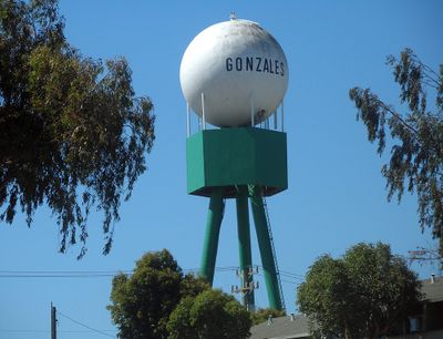
Gonzales, city in California, United States
Location: Monterey County
Inception: January 14, 1947
Elevation above the sea: 41 m
Website: http://ci.gonzales.ca.us
GPS coordinates: 36.50667,-121.44444
Latest update: March 11, 2025 12:05
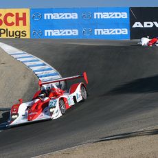
WeatherTech Raceway Laguna Seca
28.9 km
Mission Nuestra Señora de la Soledad
13.8 km
Tassajara Zen Mountain Center
20.1 km
Tassajara Hot Springs
31.8 km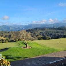
Tehàma Golf Club
35.5 km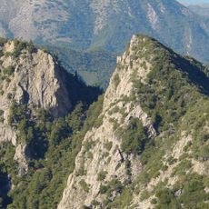
Ventana Wilderness
34.8 km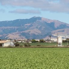
Fremont Peak
28.4 km
National Steinbeck Center
26.8 km
Fort Ord Dunes State Park
37.5 km
Fremont Peak State Park
28.7 km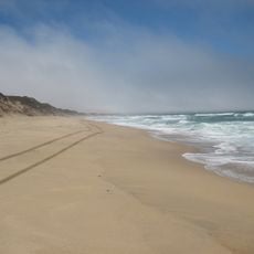
Marina State Beach
38.4 km
San Clemente Dam
24.9 km
Fremont Peak Observatory
28.6 km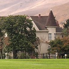
Rancho Las Palmas
23.9 km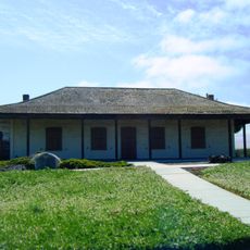
Jose Eusebio Boronda Adobe
30.1 km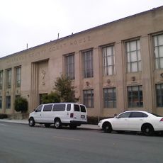
Monterey County Court House
26.7 km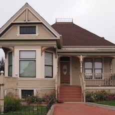
Krough House
27 km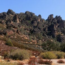
Pinnacles National Forest
21.9 km
Sheriff William Joseph Nesbitt House
27.1 km
Samuel M. Black House
26 km
Peter J. Bontadelli House
34.7 km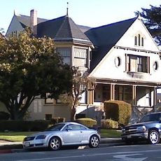
B. V. Sargent House
26.9 km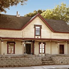
Benjamin Wilcox House
38 km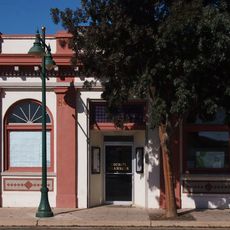
Odd Fellows Hall
213 m
Mission Soledad Museum
13.8 km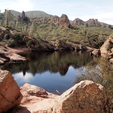
Bear Gulch Reservoir
23.2 km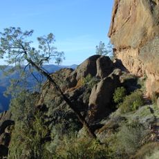
Juniper Canyon Trail
21.9 km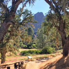
Balconies Trail
21.4 kmVisited this place? Tap the stars to rate it and share your experience / photos with the community! Try now! You can cancel it anytime.
Discover hidden gems everywhere you go!
From secret cafés to breathtaking viewpoints, skip the crowded tourist spots and find places that match your style. Our app makes it easy with voice search, smart filtering, route optimization, and insider tips from travelers worldwide. Download now for the complete mobile experience.

A unique approach to discovering new places❞
— Le Figaro
All the places worth exploring❞
— France Info
A tailor-made excursion in just a few clicks❞
— 20 Minutes