Lions Peak, Mountain summit in Santa Clara County, California, US
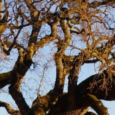
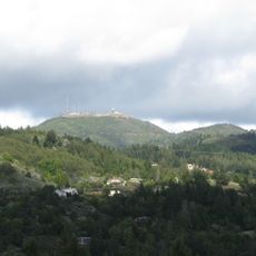
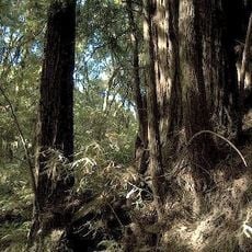
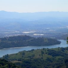
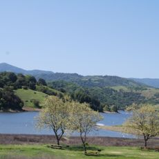
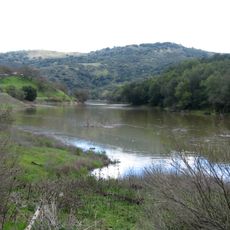
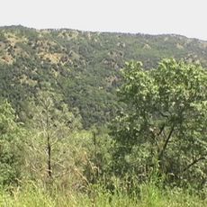
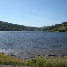
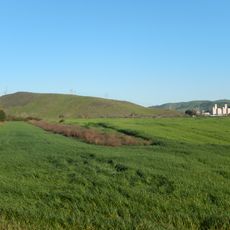
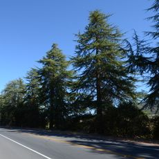
Lions Peak is a mountain summit reaching about 1,760 feet with rocky terrain and oak woodlands covering its slopes. These varied landscapes create different habitats that support regional wildlife.
The land around the peak was once part of Rancho San Francisco de las Llagas and was bought by Messrs Lion and Buckley in the late 19th century; the hill's name is linked to those owners. In summer 2008 dry lightning started fires northwest of the hill that burned nearly 800 acres nearby.
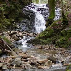
The name comes from Messrs Lion and Buckley, who bought the land around the hill in the late 19th century, when it lay within the historic Rancho San Francisco de las Llagas. The hill and roughly 1,400 acres around it remain private land, so the peak is seen from U.S. Route 101 and State Route 152 rather than visited. Lions Creek rises on its eastern flank and runs south to join Llagas Creek at Gilroy.
Lions Peak and the surrounding 1,400 acres are privately owned land, so there is no public trailhead or parking area; the hill is seen from U.S. Route 101 and State Route 152 in the South Santa Clara Valley. The summit rises about 340 metres, roughly 82 metres above the adjoining terrain. Lions Creek begins on the eastern flank and runs south to join Llagas Creek at Gilroy.
The hill and roughly 1,400 acres around it are privately owned, so the peak is seen from U.S. Route 101 and State Route 152 rather than climbed. Its name recalls Messrs Lion and Buckley, who bought land of the old Rancho San Francisco de las Llagas in the late 19th century. Lions Creek rises on the eastern flank and runs south to join Llagas Creek in Gilroy.
The community of curious travelers
AroundUs brings together thousands of curated places, local tips, and hidden gems, enriched daily by 93,368 contributors worldwide.