Chest opened
+${chestReward.xp} XP
Explorer
NOUVEAU ×${chestReward.collectible.quantity}
tapez pour fermer
Chest locked

Open chests in the app

Around Us is built for your phone — chests unlock when you walk, explore and capture nearby places.

Enable Location

We need your location to show you interesting places around you

Discover nearby places

Find interesting locations and hidden gems around you

Precise directions

Get accurate directions and distances to places

Your location is never shared with other users. It's only used when you tap the location button.

Crockett

Log in to your account

Start exploring — it's free

Trusted by 72,891 travelers worldwide

Continue with Google
Continue with Apple
or

We will send you a code to connect

By continuing, you accept our Terms and Conditions and our Privacy Policy

Check your inbox

We've sent a pincode in your inbox. Please enter the code below.

Discussion Reviews 1 Photos
23.1k Popularity

Crockett, Residential zone in Contra Costa County, California, US

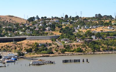
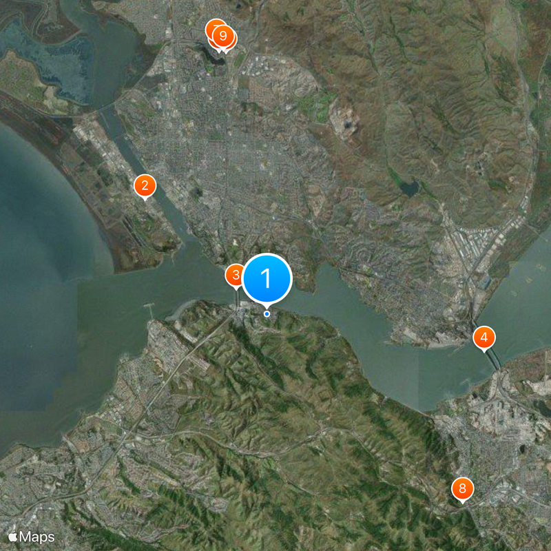
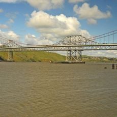
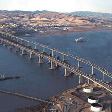
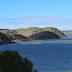
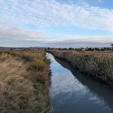
Crockett is a residential community in Contra Costa County, California, situated on hills overlooking San Pablo Bay and Carquinez Strait. Its location near major waterways in northern California shapes the area's geography and views.

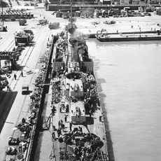
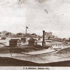
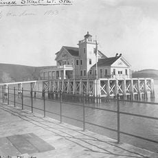
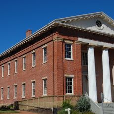
Thomas Edwards Sr. established the first general store in 1866 after purchasing 1,800 acres from California Supreme Court Judge Joseph B. Crockett. The C&H Sugar Factory, founded in 1906 by Hawaiian sugar cane growers, later transformed the location into an industrial community.

The Bailey Art Museum displays regional sculptures and ceramics, while multiple galleries in the downtown area present works from Bay Area artists.

The community features the Crockett Swimming Pool and Community Center as recreation facilities for visitors. Year-round activities and programs offer ways to engage with the local area.

The C&H Sugar Factory was more than just a production facility—it included worker housing and a planned industrial settlement. These structures remain visible in the landscape today, telling the story of how industry shaped the place.

The community of curious travelers

AroundUs brings together thousands of curated places, local tips, and hidden gems, enriched daily by 60,000 contributors worldwide.

Start exploring
Shares border with
Vallejo
GPS coordinates
38.05250,-122.21306
Latest update
December 20, 2025 14:52
Around this place
Mare Island Naval Shipyard
United States of America

Mare Island Naval Shipyard

6.1 km
Carquinez Bridge
United States of America

Carquinez Bridge

1.5 km
Benicia–Martinez Bridge
United States of America

Benicia–Martinez Bridge

8 km
Six Flags Discovery Kingdom
United States of America

Six Flags Discovery Kingdom

9.6 km
The Joker
United States of America

The Joker

9.7 km
Medusa
United States of America

Medusa

10 km
John Muir National Historic Site
United States of America

John Muir National Historic Site

9.8 km
Superman: Ultimate Flight
United States of America

Superman: Ultimate Flight

9.7 km
USS LCS-102
United States of America

USS LCS-102

8 km
Roar
United States of America

Roar

9.7 km
Benicia Arsenal
United States of America

Benicia Arsenal

6.8 km
The Flash: Vertical Velocity
United States of America

The Flash: Vertical Velocity

9.7 km
Benicia State Recreation Area
United States of America

Benicia State Recreation Area

2.9 km
Kong
United States of America

Kong

9.9 km
Mare Island Light
United States of America

Mare Island Light

4.1 km
Carquinez Strait Regional Shoreline
United States of America

Carquinez Strait Regional Shoreline

1.8 km
Bernardo Fernandez House
United States of America

Bernardo Fernandez House

8.6 km
Carquinez Strait Light
United States of America

Carquinez Strait Light

1.7 km
Tucker House
United States of America

Tucker House

7.5 km
Port Costa School
United States of America

Port Costa School

2.3 km
Radke Martinez Regional Shoreline
United States of America

Radke Martinez Regional Shoreline

7.2 km
Vicente Martinez Adobe
United States of America

Vicente Martinez Adobe

9.7 km
Martinez Library
United States of America

Martinez Library

7.9 km
Old Masonic Hall
United States of America

Old Masonic Hall

4.9 km
First Presbyterian Church
United States of America

First Presbyterian Church

8.3 km
Bank of Pinole
United States of America

Bank of Pinole

8.6 km
Jardín Botánico de Plantas Nativas Forrest Deaner
United States of America

Jardín Botánico de Plantas Nativas Forrest Deaner

5.1 km
Benicia Public Library
United States of America

Benicia Public Library

5.1 km
Show the full map
Reviews
Share your experience

No review yet

Discussions
Start a discussion...

No discussion yet

« Crockett - Residential zone in Contra Costa County, California, US » is provided by Around Us (aroundus.com). Images and texts are derived from Wikimedia project under a Creative Commons license. You are allowed to copy, distribute, and modify copies of this page, under the conditions set by the license, as long as this note is clearly visible.

Discover hidden gems everywhere you go!

From secret cafés to breathtaking viewpoints, skip the crowded tourist spots and find places that match your style. Our app makes it easy with voice search, smart filtering, route optimization, and insider tips from travelers worldwide. Download now for the complete mobile experience.

Around Us App Screenshot

A unique approach to discovering new places

Le Figaro

All the places worth exploring

France Info

A tailor-made excursion in just a few clicks

20 Minutes

Around Us
Travel Guide & Maps
Download

Send to your phone

QR Code
1

Open the camera app on your mobile.

2

Point at the QR code with your camera. A notification will appear.

3

Tap the notification to open the link.