Enable Location

We need your location to show you interesting places around you

Discover nearby places

Find interesting locations and hidden gems around you

Precise directions

Get accurate directions and distances to places

Your location is never shared with other users. It's only used when you tap the location button.

Yolo County

Log in to your account

Start exploring — it's free

Trusted by travelers worldwide

Continue with Google
Continue with Apple
or

We will send you a code to connect

By continuing, you accept our Terms and Conditions and our Privacy Policy

Check your inbox

We've sent a pincode in your inbox. Please enter the code below.

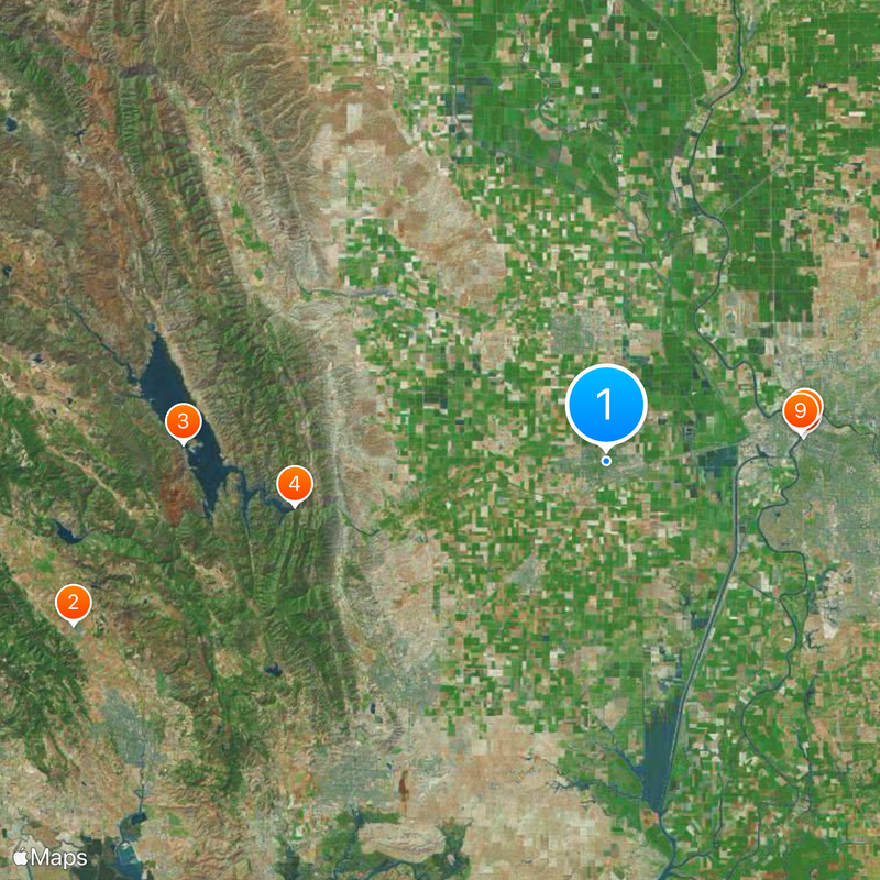
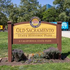
Yolo County, Administrative county in Sacramento Valley, California, US

Description

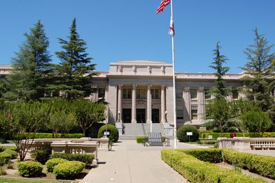
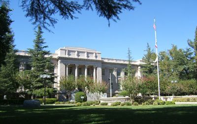
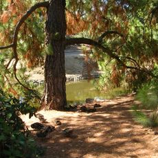
Yolo County is an administrative area in the Sacramento Valley of northern California, with Woodland serving as its seat of government. The landscape ranges from flat fields to rolling hills, crossed by two major highways that link its main towns.

History

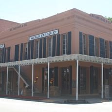
The area became an administrative unit in 1850 when California joined the Union, taking its name from the Patwin language of the original inhabitants. During the 19th century, the region shifted from sparse settlement to a farming zone with permanent towns along trade routes.

Culture

The university campus in Davis draws students and researchers from around the world, giving the area a youthful and international atmosphere. Many residents work in farming or education, blending rural traditions with academic openness across the region.

Practical

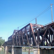
Interstate 5 runs north to south through the area, while Interstate 80 cuts across the southern section heading east. Visitors find most facilities and services in the four towns, especially Davis and Woodland, both easy to reach by car.

Did you know?

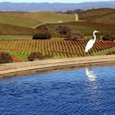
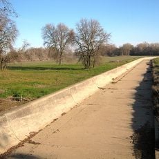
The tomato harvest here supplies a large share of the entire United States production, turning the flat fields into a sea of red fruit each summer. Many processing plants stand right next to the growing areas, so the crops move quickly from field to factory.

Location
Inception
1850
Capital city
Woodland
Part of
Sacramento Valley
Shares border with
Colusa County, Sutter County, Sacramento County, Solano County, Napa County, Lake County
GPS coordinates
38.55389,-121.73806
Latest update
December 13, 2025 16:26

AroundUs brings together thousands of curated places, local tips, and hidden gems, enriched daily by 60,000 contributors worldwide. Discover all places nearby (California).

Around this place
The French Laundry
United States of America

The French Laundry

57.1 km
Lake Berryessa
United States of America

Lake Berryessa

43.3 km
Monticello Dam
United States of America

Monticello Dam

32.2 km
Old Sacramento Waterfront
United States of America

Old Sacramento Waterfront

20.5 km
Crocker Art Museum
United States of America

Crocker Art Museum

20.3 km
California State Railroad Museum
United States of America

California State Railroad Museum

20.7 km
Old Sacramento State Historic Park
United States of America

Old Sacramento State Historic Park

20.6 km
Tower Bridge
United States of America

Tower Bridge

20.2 km
Valle de Napa
United States of America

Valle de Napa

51 km
I Street Bridge
United States of America

I Street Bridge

20.5 km
Delta King
United States of America

Delta King

20.4 km
Sacramento Zoo
United States of America

Sacramento Zoo

20.4 km
Yolo Causeway
United States of America

Yolo Causeway

8.7 km
United States of America

Jedediah Smith Memorial Trail

21.4 km
Milk Farm Restaurant
United States of America

Milk Farm Restaurant

11.3 km
Mondavi Center
United States of America

Mondavi Center

2.4 km
Yolo Bypass Wildlife Area
United States of America

Yolo Bypass Wildlife Area

9.8 km
Wells Fargo Center
United States of America

Wells Fargo Center

20.6 km
Woodland Opera House
United States of America

Woodland Opera House

14.1 km
California Automobile Museum
United States of America

California Automobile Museum

19.8 km
United States Bicycling Hall of Fame
United States of America

United States Bicycling Hall of Fame

1.2 km
Stebbins Cold Canyon Reserve
United States of America

Stebbins Cold Canyon Reserve

31.7 km
California State Military Museum
United States of America

California State Military Museum

20.5 km
United States of America

Sacramento Southern Railroad

19.6 km
University of California, Davis, Arboretum and Public Garden
United States of America

University of California, Davis, Arboretum and Public Garden

2.6 km
United States of America

Manetti Shrem Museum of Art

2.4 km
Fremont Weir Wildlife Area
United States of America

Fremont Weir Wildlife Area

23.1 km
Pony Express Terminal
United States of America

Pony Express Terminal

20.7 km
Show the full map
« Yolo County - Administrative county in Sacramento Valley, California, US » is provided by Around Us (aroundus.com). Images and texts are derived from Wikimedia project under a Creative Commons license. You are allowed to copy, distribute, and modify copies of this page, under the conditions set by the license, as long as this note is clearly visible.

Discover hidden gems everywhere you go!

From secret cafés to breathtaking viewpoints, skip the crowded tourist spots and find places that match your style. Our app makes it easy with voice search, smart filtering, route optimization, and insider tips from travelers worldwide. Download now for the complete mobile experience.

Around Us App Screenshot

A unique approach to discovering new places

Le Figaro

All the places worth exploring

France Info

A tailor-made excursion in just a few clicks

20 Minutes

Around Us
Travel Guide & Maps
Download

Send to your phone

QR Code
1

Open the camera app on your mobile.

2

Point at the QR code with your camera. A notification will appear.

3

Tap the notification to open the link.