Amador County

Log in to your account

AroundUs is a community-driven map of interesting places, built by curious explorers like you. It grows with every review, story, and photo you share.
Connect to save your favorite spots, contribute locations, and create personalized routes.
Continue with Google
Continue with Apple
Continue with X
Continue with Facebook
Continue with email
By continuing, you accept our Terms and Conditions and our Privacy Policy
Create an account
Add to collection
Map
Suggest a change
Share

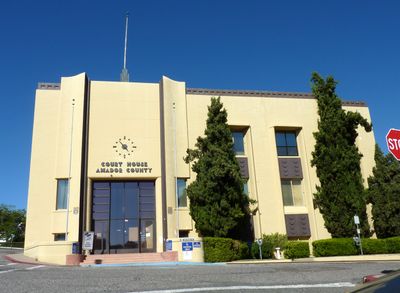
Amador County, County district in Sierra Nevada, California, United States

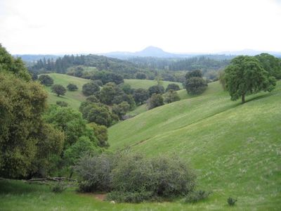
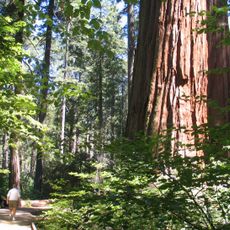
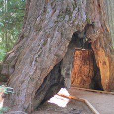
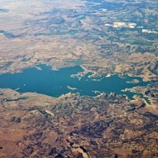
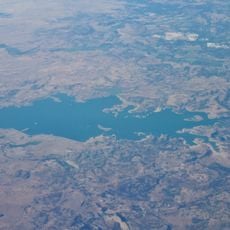
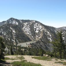
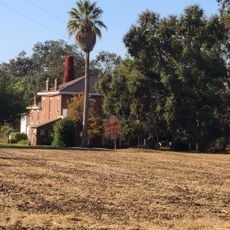
Amador County is an administrative unit in the Sierra Nevada of California, lying between rolling hills and forested mountain ranges. The landscape shifts from valleys planted with grapevines and river corridors to higher elevations covered in pine forests.

This administrative unit was created in 1854 from parts of two neighboring districts after gold discoveries drew many settlers. The name honors a Spanish-speaking rancher who searched for the precious metal in the region.

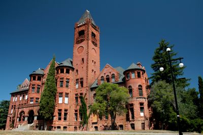
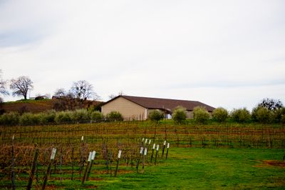
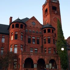
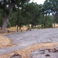
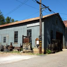
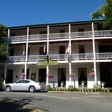
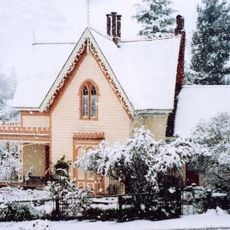
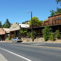
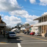
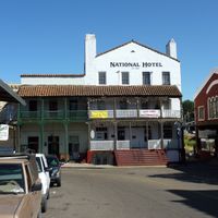
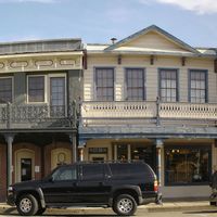
Wineries across this area invite visitors to taste red wines in tasting rooms and walk through old vine plantings. Several towns preserve wooden buildings from the mining era that now house shops and small museums.

Public bus lines connect the main towns and provide links to neighboring counties. Schedules and stops are available online or at local town halls.

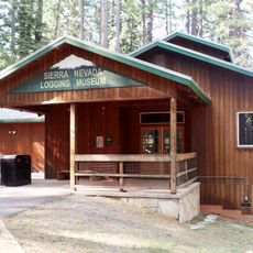
One of the local mines reached extraordinary depths and ranked among the deepest gold excavations on the continent. Visitors can still see hoisting equipment and shaft buildings that tell the story of this underground work.

Location: California

Inception: 1854

Capital city: Jackson

Shares border with: El Dorado County, Calaveras County, Alpine County, San Joaquin County, Sacramento County

Website: http://co.amador.ca.us

GPS coordinates: 38.44000,-120.66000

Latest update: December 13, 2025 19:39

Photos
Around this place
Preston School of Industry
United States of America

Preston School of Industry

25.6 km
Calaveras Big Trees State Park
United States of America

Calaveras Big Trees State Park

37.2 km
Pioneer Cabin Tree
United States of America

Pioneer Cabin Tree

35.9 km
Camanche Reservoir
United States of America

Camanche Reservoir

38.2 km
Indian Grinding Rock State Historic Park
United States of America

Indian Grinding Rock State Historic Park

2.2 km
United States of America

Silver Lake

53 km
Pardee Dam
United States of America

Pardee Dam

26.2 km
Salt Springs Reservoir
United States of America

Salt Springs Reservoir

39.3 km
Camanche Dam
United States of America

Camanche Dam

39.8 km
Knight Foundry
United States of America

Knight Foundry

12 km
United States of America

Lower Bear River Reservoir

38.5 km
Thunder Mountain
United States of America

Thunder Mountain

56 km
United States of America

Mount Zion State Forest

5.3 km
Faith Episcopal Church
United States of America

Faith Episcopal Church

38.9 km
St. George Hotel
United States of America

St. George Hotel

2.6 km
Community Methodist Church of Ione
United States of America

Community Methodist Church of Ione

25.8 km
Sierra Nevada Logging Museum
United States of America

Sierra Nevada Logging Museum

33.7 km
D. Stewart Company Store
United States of America

D. Stewart Company Store

25.7 km
United States of America

Five Mile Drive-Sutter Creek Bridge

27.7 km
Scully Ranch
United States of America

Scully Ranch

27.8 km
William J. Paugh House
United States of America

William J. Paugh House

13.8 km
Jackson Downtown Historic District
United States of America

Jackson Downtown Historic District

14.1 km
Chaparral Gardens
United States of America

Chaparral Gardens

31.2 km
United States of America

D'Agostini Reservoir

17.6 km
United States of America

Bonanza Park

39.6 km
United States of America

Royal Oaks Park

37.2 km
United States of America

Italian Society Park

14.3 km
United States of America

Bear River Reservoir

41.4 km
Show the full map
Reviews

Visited this place? Tap the stars to rate it and share your experience / photos with the community! Try now! You can cancel it anytime.

« Amador County - County district in Sierra Nevada, California, United States » is provided by Around Us (aroundus.com). Images and texts are derived from Wikimedia project under a Creative Commons license. You are allowed to copy, distribute, and modify copies of this page, under the conditions set by the license, as long as this note is clearly visible.

Discover hidden gems everywhere you go!

From secret cafés to breathtaking viewpoints, skip the crowded tourist spots and find places that match your style. Our app makes it easy with voice search, smart filtering, route optimization, and insider tips from travelers worldwide. Download now for the complete mobile experience.

Around Us App Screenshot

A unique approach to discovering new places

Le Figaro

All the places worth exploring

France Info

A tailor-made excursion in just a few clicks

20 Minutes