Enable Location

We need your location to show you interesting places around you

Discover nearby places

Find interesting locations and hidden gems around you

Precise directions

Get accurate directions and distances to places

Your location is never shared with other users. It's only used when you tap the location button.

Log in to your account

Start exploring — it's free

Trusted by 62,855 travelers worldwide

Continue with Google
Continue with Apple
or

We will send you a code to connect

By continuing, you accept our Terms and Conditions and our Privacy Policy

Check your inbox

We've sent a pincode in your inbox. Please enter the code below.

Lower Bear River Reservoir

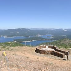
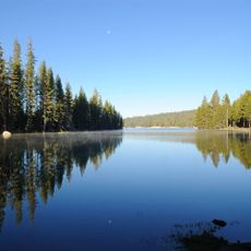
Lower Bear River Reservoir, reservoir in Amador County, California

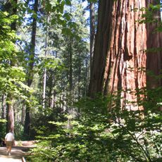
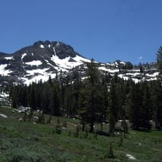
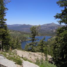
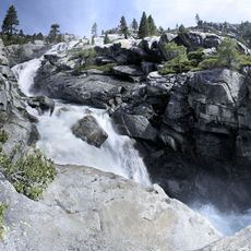
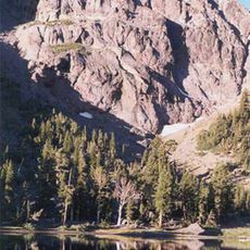
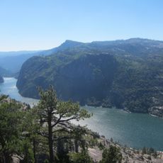
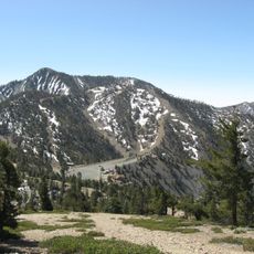
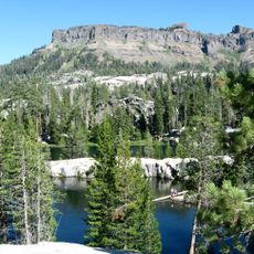
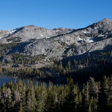
Lower Bear River Reservoir is a body of water in the Sierra Mountains of Amador County at an elevation of about 5,800 to 6,000 feet (1,770-1,830 meters). It is surrounded by dense forests of pine trees and offers multiple campgrounds, boat rental and launch facilities, fishing spots, a store, and a restaurant, with hiking trails throughout the surrounding area.

The reservoir was developed by Pacific Gas and Electric Company and has served outdoor enthusiasts for many years. The area was originally used by Native American peoples for hunting and gathering.

The reservoir's name comes from the river that feeds it. The area serves as a gathering place for anglers, boaters, and campers who share stories and enjoy the mountain landscape together.

The reservoir is just a few miles off Highway 88, making it easy to access for day trips or overnight stays. Visitors should bring adequate supplies for their visit, as nearby services are limited, and it is wise to check local conditions before planning a trip.

The reservoir is one of the first spots to open each season, making it a reliable choice for early summer activities. Nearby Devils Lake and Shriner Lake are popular destinations for additional hiking and fishing trips.

The community of curious travelers

AroundUs brings together thousands of curated places, local tips, and hidden gems, enriched daily by 60,000 contributors worldwide.

Start exploring
Location
GPS coordinates
38.54194,-120.23750
Latest update
February 9, 2026 08:21
« Lower Bear River Reservoir - reservoir in Amador County, California » is provided by Around Us (aroundus.com). Images and texts are derived from Wikimedia project under a Creative Commons license. You are allowed to copy, distribute, and modify copies of this page, under the conditions set by the license, as long as this note is clearly visible.

Discover hidden gems everywhere you go!

From secret cafés to breathtaking viewpoints, skip the crowded tourist spots and find places that match your style. Our app makes it easy with voice search, smart filtering, route optimization, and insider tips from travelers worldwide. Download now for the complete mobile experience.

Around Us App Screenshot

A unique approach to discovering new places

Le Figaro

All the places worth exploring

France Info

A tailor-made excursion in just a few clicks

20 Minutes

Around Us
Travel Guide & Maps
Download

Send to your phone

QR Code
1

Open the camera app on your mobile.

2

Point at the QR code with your camera. A notification will appear.

3

Tap the notification to open the link.