Chest opened
+${chestReward.xp} XP
Explorer
NOUVEAU ×${chestReward.collectible.quantity}
tapez pour fermer
Chest locked

Open chests in the app

Around Us is built for your phone — chests unlock when you walk, explore and capture nearby places.

Enable Location

We need your location to show you interesting places around you

Discover nearby places

Find interesting locations and hidden gems around you

Precise directions

Get accurate directions and distances to places

Your location is never shared with other users. It's only used when you tap the location button.

Log in to your account

Start exploring — it's free

Trusted by 72,955 travelers worldwide

Continue with Google
Continue with Apple
or

We will send you a code to connect

By continuing, you accept our Terms and Conditions and our Privacy Policy

Check your inbox

We've sent a pincode in your inbox. Please enter the code below.

Discussion Reviews Photo
10.7k Popularity

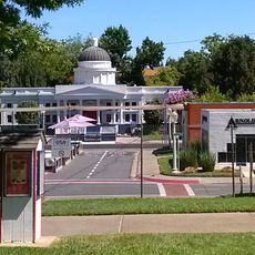
Wilton, Census-designated place in Sacramento County, United States.

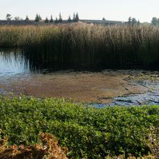
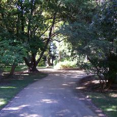
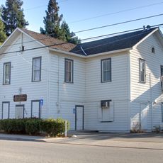
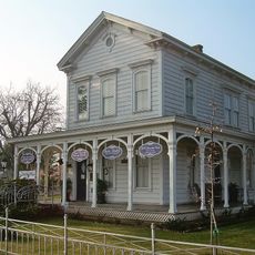
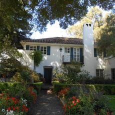
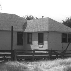
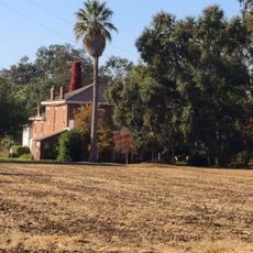
Wilton is a census-designated place in Sacramento County, California, made up of scattered homes and working farmland. The area has no dense town center, and the landscape opens up into flat fields and rural roads between residential pockets.

Wilton grew in the early 20th century as a farming community in California's interior valley. Over time, residential development moved in alongside the fields, though the area never became a formal incorporated town.

The population composition reflects a diverse mix of residents, with 78.9% White, 5.4% Asian, 3.2% African American, and other ethnic groups as of 2010.

Wilton is best explored by car since the community is spread out and has no walkable center. There are no tourist facilities, so it helps to have a clear destination before arriving.

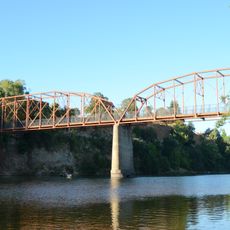
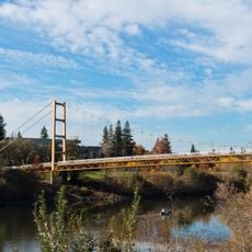
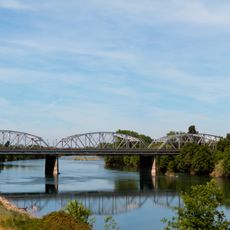
Part of Wilton sits within the floodplain of the Cosumnes River, one of the last free-flowing rivers from the Sierra Nevada. When rains are heavy, the river can spread across large stretches of the surrounding land.

The community of curious travelers

AroundUs brings together thousands of curated places, local tips, and hidden gems, enriched daily by 60,000 contributors worldwide.

Start exploring
Elevation above the sea
24 m
GPS coordinates
38.40940,-121.22400
Latest update
March 3, 2026 08:21
Around this place
Preston School of Industry
United States of America

Preston School of Industry

25.7 km
Mather Air Force Base
United States of America

Mather Air Force Base

17.3 km
U.S. Route 50 in California
United States of America

U.S. Route 50 in California

26.7 km
Hornet Stadium
United States of America

Hornet Stadium

23.8 km
Cosumnes River Preserve
United States of America

Cosumnes River Preserve

24.7 km
Fair Oaks Bridge
United States of America

Fair Oaks Bridge

25.5 km
Julia Morgan House
United States of America

Julia Morgan House

26.5 km
Guy West Bridge
United States of America

Guy West Bridge

24.1 km
Stone Lakes National Wildlife Refuge
United States of America

Stone Lakes National Wildlife Refuge

24 km
Sacramento State University Library
United States of America

Sacramento State University Library

24.1 km
Safetyville USA
United States of America

Safetyville USA

18.6 km
University Arboretum at California State University, Sacramento
United States of America

University Arboretum at California State University, Sacramento

24.9 km
SMUD Headquarters Building
United States of America

SMUD Headquarters Building

24.2 km
Brighton School
United States of America

Brighton School

19.6 km
Jensen Botanical Gardens
United States of America

Jensen Botanical Gardens

27 km
American River Grange Hall No. 172
United States of America

American River Grange Hall No. 172

21.8 km
Brewster House
United States of America

Brewster House

18.7 km
Rosebud Ranch
United States of America

Rosebud Ranch

25.4 km
Community Methodist Church of Ione
United States of America

Community Methodist Church of Ione

26.3 km
Theodore Judah School
United States of America

Theodore Judah School

27.2 km
J. C. Carly House
United States of America

J. C. Carly House

26.9 km
Sacramento Children's Museum
United States of America

Sacramento Children's Museum

20.6 km
Alta Mesa Farm Bureau Hall
United States of America

Alta Mesa Farm Bureau Hall

2.5 km
D. Stewart Company Store
United States of America

D. Stewart Company Store

26.2 km
Scully Ranch
United States of America

Scully Ranch

23.9 km
Chaparral Gardens
United States of America

Chaparral Gardens

26.8 km
H Street Bridge
United States of America

H Street Bridge

24.8 km
American River Bike Trail
United States of America

American River Bike Trail

27.2 km
Show the full map
Reviews
Share your experience

No review yet

Discussions
Start a discussion...

No discussion yet

« Wilton - Census-designated place in Sacramento County, United States » is provided by Around Us (aroundus.com). Images and texts are derived from Wikimedia project under a Creative Commons license. You are allowed to copy, distribute, and modify copies of this page, under the conditions set by the license, as long as this note is clearly visible.

Discover hidden gems everywhere you go!

From secret cafés to breathtaking viewpoints, skip the crowded tourist spots and find places that match your style. Our app makes it easy with voice search, smart filtering, route optimization, and insider tips from travelers worldwide. Download now for the complete mobile experience.

Around Us App Screenshot

A unique approach to discovering new places

Le Figaro

All the places worth exploring

France Info

A tailor-made excursion in just a few clicks

20 Minutes

Around Us
Travel Guide & Maps
Download

Send to your phone

QR Code
1

Open the camera app on your mobile.

2

Point at the QR code with your camera. A notification will appear.

3

Tap the notification to open the link.