Sacramento County

Log in to your account

AroundUs is a community-driven map of interesting places, built by curious explorers like you. It grows with every review, story, and photo you share.
Connect to save your favorite spots, contribute locations, and create personalized routes.
By continuing, you accept our Terms and Conditions and our Privacy Policy
Add to collection
Map
Suggest a change
Share

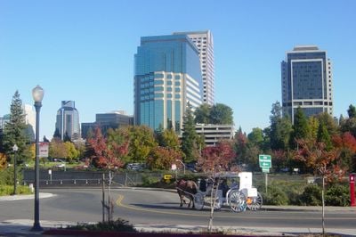
Sacramento County, Administrative county in Central Valley, California.

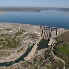
Sacramento County is an administrative unit in California that spreads from lowland terrain in the west to the first foothills of the Sierra Nevada in the east. Its borders follow the Sacramento River and cover both urban areas and open farmland.

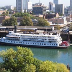
This administrative unit formed in the mid-nineteenth century as the Gold Rush triggered rapid settlement. The river gave the area its name and shaped early commerce through transport and trade.

The five-member Board of Supervisors manages county operations through numerous departments, overseeing services for a population of 1.5 million residents.

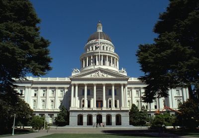
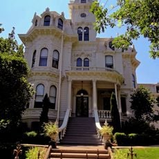
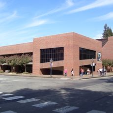
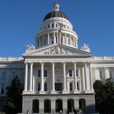
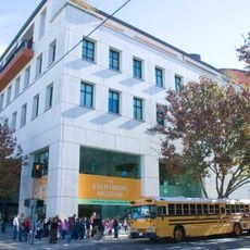
The main administrative building stands in downtown Sacramento and brings public services together in one location. Visitors with business to conduct will find counters for documents and permits during regular office hours.

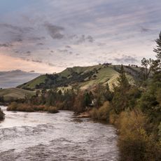
The area reaches from zones below sea level to hills rising more than 800 feet (244 meters) and shows very different landscapes within a small space. These differences in height shape climate and vegetation inside the administrative borders.

Location: California

Inception: 1850

Capital city: Sacramento

Shares border with: Placer County, San Joaquin County, El Dorado County, Amador County, Contra Costa County, Sutter County, Solano County, Yolo County

Phone: +19168755000

Email: SACPIO@saccounty.net

Website: http://saccounty.net

GPS coordinates: 38.45000,-121.35000

Latest update: December 4, 2025 23:03

Photos
Around this place
Show the full map
American River
United States of America

American River

33.4 km
Governor's Mansion State Historic Park
United States of America

Governor's Mansion State Historic Park

18.6 km
Locke
United States of America

Locke

26.2 km
Mather Air Force Base
United States of America

Mather Air Force Base

12.4 km
Folsom Lake
United States of America

Folsom Lake

35.5 km
Old Sacramento Waterfront
United States of America

Old Sacramento Waterfront

20 km
Railyards Stadium
United States of America

Railyards Stadium

19.9 km
Crocker Art Museum
United States of America

Crocker Art Museum

19.6 km
California State Railroad Museum
United States of America

California State Railroad Museum

20.1 km
Heart Health Park
United States of America

Heart Health Park

17.5 km
Old Sacramento State Historic Park
United States of America

Old Sacramento State Historic Park

20.1 km
Folsom Dam
United States of America

Folsom Dam

33.2 km
Leland Stanford Mansion State Historic Park
United States of America

Leland Stanford Mansion State Historic Park

19.1 km
Tower Bridge
United States of America

Tower Bridge

20 km
California Hall of Fame
United States of America

California Hall of Fame

18.8 km
Antioch Bridge
United States of America

Antioch Bridge

58.9 km
I Street Bridge
United States of America

I Street Bridge

20.4 km
California State Library
United States of America

California State Library

19 km
Aerospace Museum of California
United States of America

Aerospace Museum of California

25.3 km
Hornet Stadium
United States of America

Hornet Stadium

13.4 km
Delta King
United States of America

Delta King

20.1 km
Sacramento Zoo
United States of America

Sacramento Zoo

16.7 km
Folsom Powerhouse State Historic Park
United States of America

Folsom Powerhouse State Historic Park

29.8 km
California State Capitol Museum
United States of America

California State Capitol Museum

18.8 km
Cathedral of the Blessed Sacrament
United States of America

Cathedral of the Blessed Sacrament

19 km
The California Museum
United States of America

The California Museum

18.8 km
Ruhstaller Building
United States of America

Ruhstaller Building

19.2 km
Sacramento Convention Center Complex
United States of America

Sacramento Convention Center Complex

18.7 km
Show the full map
Reviews

Visited this place? Tap the stars to rate it and share your experience / photos with the community! Try now! You can cancel it anytime.

« Sacramento County - Administrative county in Central Valley, California » is provided by Around Us (aroundus.com). Images and texts are derived from Wikimedia project under a Creative Commons license. You are allowed to copy, distribute, and modify copies of this page, under the conditions set by the license, as long as this note is clearly visible.

Discover hidden gems everywhere you go!

From secret cafés to breathtaking viewpoints, skip the crowded tourist spots and find places that match your style. Our app makes it easy with voice search, smart filtering, route optimization, and insider tips from travelers worldwide. Download now for the complete mobile experience.

Around Us App Screenshot

A unique approach to discovering new places

Le Figaro

All the places worth exploring

France Info

A tailor-made excursion in just a few clicks

20 Minutes