Lost Coast, Remote coastal region in Northern California, US
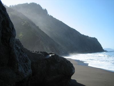
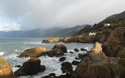
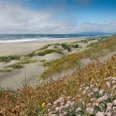
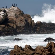
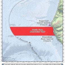
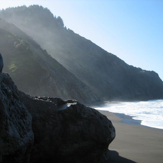
Lost Coast stretches along the northern California shoreline where mountain ranges meet the Pacific Ocean, forming steep cliffs and dark sand beaches. The terrain is so rugged and isolated that no continuous road connects this stretch to the rest of the coast.
The region received its name in the 1930s when road builders rerouted Highway 1 inland because the terrain proved too steep and difficult. This decision left the coastline without modern connections and largely undeveloped.
You can still find shell mounds on several beaches, left behind by generations of indigenous people who harvested and processed seafood here. These mounds show how communities relied on the ocean for food and materials over many centuries.
Hikers should carry a tide chart because high tides can block passage along several sections. Plan your route around tide times and allow extra time for detours or rest stops.
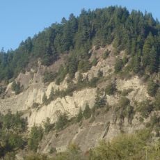
The King Range rises above 4000 feet (1200 m) within three miles of the shoreline, creating one of the steepest coastal gradients in the lower 48 states. This abrupt elevation change produces unusual weather shifts and distinct vegetation zones that change over a short distance.
The community of curious travelers
AroundUs brings together thousands of curated places, local tips, and hidden gems, enriched daily by 92,857 contributors worldwide.