Chest opened
+${chestReward.xp} XP
Explorer
NOUVEAU ×${chestReward.collectible.quantity}
tapez pour fermer
Chest locked

Open chests in the app

Around Us is built for your phone — chests unlock when you walk, explore and capture nearby places.

Enable Location

We need your location to show you interesting places around you

Discover nearby places

Find interesting locations and hidden gems around you

Precise directions

Get accurate directions and distances to places

Your location is never shared with other users. It's only used when you tap the location button.

Covelo

Log in to your account

Start exploring — it's free

Trusted by 72,890 travelers worldwide

Continue with Google
Continue with Apple
or

We will send you a code to connect

By continuing, you accept our Terms and Conditions and our Privacy Policy

Check your inbox

We've sent a pincode in your inbox. Please enter the code below.

Discussion Reviews 1 Photos
14.4k Popularity

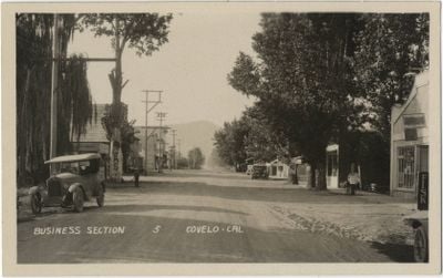
Covelo, Census-designated place in Mendocino County, California.

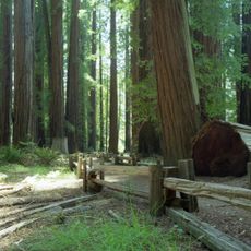
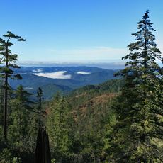
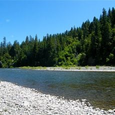
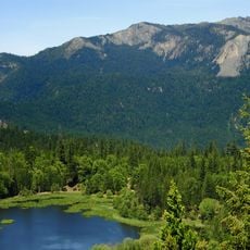
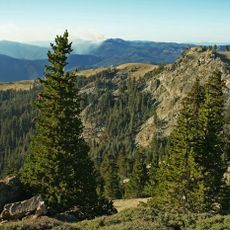
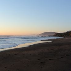
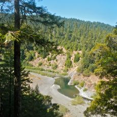
Covelo is a small settlement in northeastern Mendocino County, California, where Mill Creek flows eastward toward the Middle Fork of the Eel River. The landscape reflects the rolling terrain typical of this inland region.

The settlement began in 1860 when a local store opened to serve the area. A post office was established 10 years later, marking the growing importance of the community.

The Round Valley Indian Reservation forms a core part of the community, where Native American residents maintain their cultural practices and relationship with the land. This presence shapes the character and identity of the place.

California State Route 162 provides the main road connection linking this area to U.S. Route 101. Traveling by car is the practical way to reach and explore this remote location.

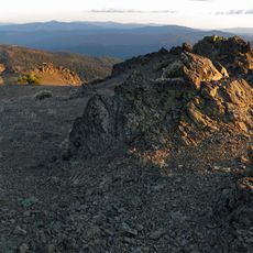
The area experiences sharp temperature swings between seasons, with particularly hot summers typical of its Mediterranean climate setting. These shifts shape how residents adapt to their surroundings throughout the year.

The community of curious travelers

AroundUs brings together thousands of curated places, local tips, and hidden gems, enriched daily by 60,000 contributors worldwide.

Start exploring
Location
Elevation above the sea
426 m
GPS coordinates
39.79306,-123.24806
Latest update
December 7, 2025 20:22
Around this place
Chandelier Tree
United States of America

Chandelier Tree

40.9 km
Confusion Hill
United States of America

Confusion Hill

46.3 km
MacKerricher State Park
United States of America

MacKerricher State Park

57.5 km
Mendocino National Forest
United States of America

Mendocino National Forest

43 km
Abhayagiri Buddhist Monastery
United States of America

Abhayagiri Buddhist Monastery

47.7 km
Richardson Grove State Park
United States of America

Richardson Grove State Park

53.3 km
Yolla Bolly-Middle Eel Wilderness
United States of America

Yolla Bolly-Middle Eel Wilderness

33.4 km
Mount Linn
United States of America

Mount Linn

43.2 km
Westport-Union Landing State Beach
United States of America

Westport-Union Landing State Beach

48.2 km
Confusion Hill Bridges
United States of America

Confusion Hill Bridges

46.3 km
South Fork Eel River Wilderness
United States of America

South Fork Eel River Wilderness

36.2 km
Benbow Lake State Recreation Area
United States of America

Benbow Lake State Recreation Area

55.3 km
Benbow Inn
United States of America

Benbow Inn

55.4 km
Anthony Peak
United States of America

Anthony Peak

25 km
North Yolla Bolly Mountain
United States of America

North Yolla Bolly Mountain

50.6 km
One-Log House
United States of America

One-Log House

52.2 km
Usal Beach
United States of America

Usal Beach

51.6 km
Garden of Kirpal
United States of America

Garden of Kirpal

48.2 km
Seaside Creek Beach
United States of America

Seaside Creek Beach

51.5 km
Noyo Theatre
United States of America

Noyo Theatre

43.3 km
Ten Mile Beach
United States of America

Ten Mile Beach

54.1 km
Laguna Point Beach
United States of America

Laguna Point Beach

57.9 km
Ten Mile Beach
United States of America

Ten Mile Beach

54.1 km
Wages Creek Beach
United States of America

Wages Creek Beach

48.6 km
Chamberlain Creek Waterfall
United States of America

Chamberlain Creek Waterfall

52 km
Mendocino County Museum
United States of America

Mendocino County Museum

43.1 km
Standish-Hickey State Recreation Area
United States of America

Standish-Hickey State Recreation Area

43 km
Pudding Creek Trestle
United States of America

Pudding Creek Trestle

60.7 km
Show the full map
Reviews
Share your experience

No review yet

Discussions
Start a discussion...

No discussion yet

« Covelo - Census-designated place in Mendocino County, California » is provided by Around Us (aroundus.com). Images and texts are derived from Wikimedia project under a Creative Commons license. You are allowed to copy, distribute, and modify copies of this page, under the conditions set by the license, as long as this note is clearly visible.

Discover hidden gems everywhere you go!

From secret cafés to breathtaking viewpoints, skip the crowded tourist spots and find places that match your style. Our app makes it easy with voice search, smart filtering, route optimization, and insider tips from travelers worldwide. Download now for the complete mobile experience.

Around Us App Screenshot

A unique approach to discovering new places

Le Figaro

All the places worth exploring

France Info

A tailor-made excursion in just a few clicks

20 Minutes

Around Us
Travel Guide & Maps
Download

Send to your phone

QR Code
1

Open the camera app on your mobile.

2

Point at the QR code with your camera. A notification will appear.

3

Tap the notification to open the link.