Chest opened
+${chestReward.xp} XP
Explorer
NOUVEAU ×${chestReward.collectible.quantity}
tapez pour fermer
Chest locked

Open chests in the app

Around Us is built for your phone — chests unlock when you walk, explore and capture nearby places.

Enable Location

We need your location to show you interesting places around you

Discover nearby places

Find interesting locations and hidden gems around you

Precise directions

Get accurate directions and distances to places

Your location is never shared with other users. It's only used when you tap the location button.

Log in to your account

Start exploring — it's free

Trusted by 73,043 travelers worldwide

Continue with Google
Continue with Apple
or

We will send you a code to connect

By continuing, you accept our Terms and Conditions and our Privacy Policy

Check your inbox

We've sent a pincode in your inbox. Please enter the code below.

California's 3rd congressional district
Discussion Reviews Photo
43.8k Popularity

California's 3rd congressional district, Congressional district in Northern California, United States

California's 3rd congressional district spans the northern Sierra Nevada region and covers Alpine, Inyo, Mono, Nevada, Placer, Plumas, and Sierra counties. The area stretches from suburbs northeast of Sacramento to the Death Valley region.

The district was established in 1865 following the Civil War and has undergone multiple boundary changes to reflect population shifts. These adjustments shaped the area's evolving development over the following decades.

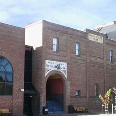
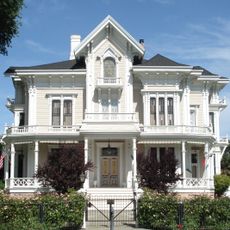
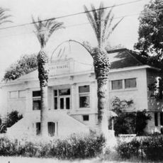
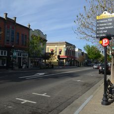
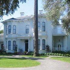
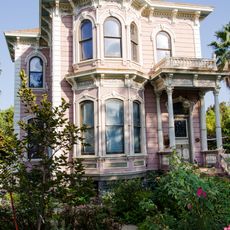
The region includes different communities, ranging from larger cities like Roseville and Folsom to resort towns such as South Lake Tahoe and Mammoth Lakes. People here blend rural traditions with modern urban living.

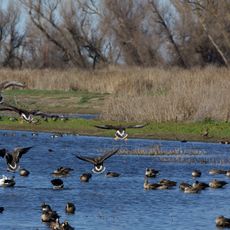
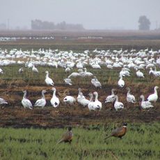
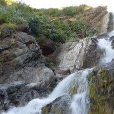
The area is diverse, ranging from densely settled suburbs to sparsely populated mountainous regions with varying conditions. Visitors should note that higher elevations can have snow in winter and distances between different sections are substantial.

The area extends from suburbs northeast of Sacramento to the Death Valley region, encompassing both the highest and lowest elevation points in the continental United States. These extreme elevation differences make it a geographically distinctive region.

The community of curious travelers

AroundUs brings together thousands of curated places, local tips, and hidden gems, enriched daily by 60,000 contributors worldwide.

Start exploring
Location
Inception
March 4, 1865
GPS coordinates
38.90000,-122.00000
Latest update
December 14, 2025 20:52
Around this place
Woodland Opera House
United States of America

Woodland Opera House

31.7 km
Colusa National Wildlife Refuge
United States of America

Colusa National Wildlife Refuge

28.9 km
Sutter National Wildlife Refuge
United States of America

Sutter National Wildlife Refuge

29.3 km
United States of America

Quail Ridge Reserve

22.8 km
Gable Mansion
United States of America

Gable Mansion

32.1 km
Woodland Public Library
United States of America

Woodland Public Library

31.5 km
Hotel Woodland
United States of America

Hotel Woodland

31.6 km
Yolo County Courthouse
United States of America

Yolo County Courthouse

31.6 km
Sacramento Valley Museum
United States of America

Sacramento Valley Museum

31.4 km
Zim Zim Falls
United States of America

Zim Zim Falls

30.7 km
Downtown Woodland Historic District
United States of America

Downtown Woodland Historic District

31.7 km
Yolo Branch Library
United States of America

Yolo Branch Library

25 km
United States of America

Reiff's Antique Gas Station Automotive Museum

31.4 km
Griffith Mansion
United States of America

Griffith Mansion

25.2 km
Grand Island Shrine
United States of America

Grand Island Shrine

24.7 km
Porter Building
United States of America

Porter Building

31.6 km
R. H. Beamer House
United States of America

R. H. Beamer House

31.3 km
I.O.O.F. Building
United States of America

I.O.O.F. Building

31.8 km
United States of America

Cecil Ranch

23 km
Velocity Island Park
United States of America

Velocity Island Park

30.2 km
United States of America

Vernon A Nichols County Park

17.7 km
United States of America

Jackson Bluffs

28.4 km
United States of America

Blue Cliffs

18.2 km
United States of America

Wild Wings Golf Club

26.9 km
United States of America

Yocha Dehe Golf Club

21.4 km
United States of America

Statue, Work of art

14.2 km
United States of America

Scenic viewpoint

25.3 km
United States of America

Scenic viewpoint

25.4 km
Show the full map
Reviews
Share your experience

No review yet

Discussions
Start a discussion...

No discussion yet

« California's 3rd congressional district - Congressional district in Northern California, United States » is provided by Around Us (aroundus.com). Images and texts are derived from Wikimedia project under a Creative Commons license. You are allowed to copy, distribute, and modify copies of this page, under the conditions set by the license, as long as this note is clearly visible.

Discover hidden gems everywhere you go!

From secret cafés to breathtaking viewpoints, skip the crowded tourist spots and find places that match your style. Our app makes it easy with voice search, smart filtering, route optimization, and insider tips from travelers worldwide. Download now for the complete mobile experience.

Around Us App Screenshot

A unique approach to discovering new places

Le Figaro

All the places worth exploring

France Info

A tailor-made excursion in just a few clicks

20 Minutes

Around Us
Travel Guide & Maps
Download

Send to your phone

QR Code
1

Open the camera app on your mobile.

2

Point at the QR code with your camera. A notification will appear.

3

Tap the notification to open the link.