
Whychus Creek Rim, cliff in Deschutes County, Oregon, United States of America

Smith Rock State Park
24.7 km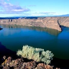
Lake Billy Chinook
27.4 km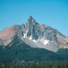
Mount Washington
31.2 km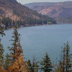
The Cove Palisades State Park
31.3 km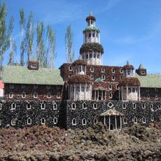
Petersen Rock Garden
22 km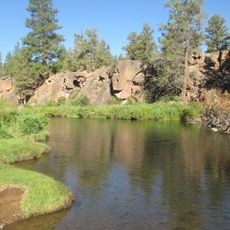
Tumalo State Park
26.4 km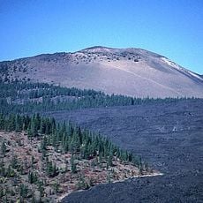
Belknap Crater
32.4 km
Cline Falls State Scenic Viewpoint
17.7 km
Crooked River High Bridge
20.7 km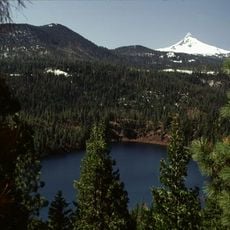
Blue Lake Crater
26.9 km
Peter Skene Ogden State Scenic Viewpoint
20.7 km
Elliott Corbett Memorial State Recreation Site
26.9 km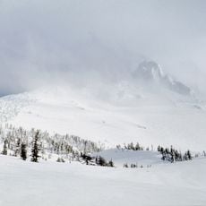
Mount Washington Wilderness
31.2 km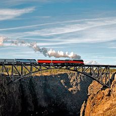
Crooked River Railroad Bridge
20.5 km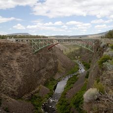
Crooked River Gorge
18.7 km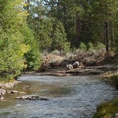
Sisters State Park
10 km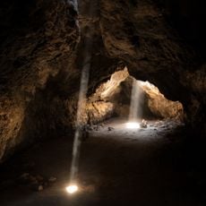
Skylight Cave
21.4 km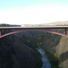
Rex T. Barber Veterans Memorial Bridge
20.8 km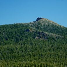
Black Crater
25.8 km
Redmond–Bend Juniper State Scenic Corridor
24.7 km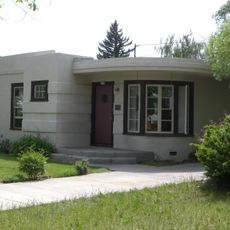
Milton Odem House
22.9 km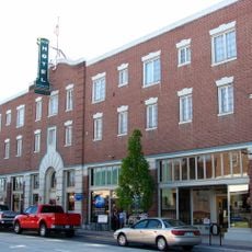
New Redmond Hotel
23.3 km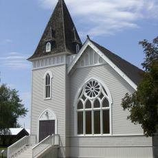
First Presbyterian Church of Redmond
23.2 km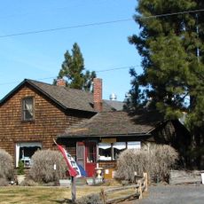
Charles Boyd Homestead Group
31.7 km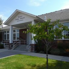
Sisters High School
10.1 km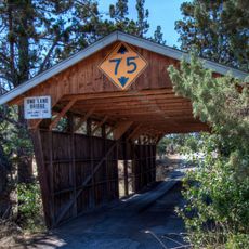
Rock O' the Range Bridge
28.3 km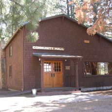
Camp Sherman Community Hall
19.6 km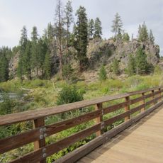
Deschutes River Trail
29.9 kmReviews
Visited this place? Tap the stars to rate it and share your experience / photos with the community! Try now! You can cancel it anytime.
Discover hidden gems everywhere you go!
From secret cafés to breathtaking viewpoints, skip the crowded tourist spots and find places that match your style. Our app makes it easy with voice search, smart filtering, route optimization, and insider tips from travelers worldwide. Download now for the complete mobile experience.

A unique approach to discovering new places❞
— Le Figaro
All the places worth exploring❞
— France Info
A tailor-made excursion in just a few clicks❞
— 20 Minutes