Chest opened
+${chestReward.xp} XP
Explorer
NOUVEAU ×${chestReward.collectible.quantity}
tapez pour fermer

See the monuments around you in AR Open chests in the app

Around Us is built for your phone — point your camera at the streets and discover the monuments and places around you in augmented reality. Around Us is built for your phone — chests unlock when you walk, explore and capture nearby places.

•

Enable Location

We need your location to show you interesting places around you

Discover nearby places

Find interesting locations and hidden gems around you

Precise directions

Get accurate directions and distances to places

Your location is never shared with other users. It's only used when you tap the location button.

The Cove Palisades State Park

Log in to your account

Start exploring — it's free

Trusted by 94,512 travelers worldwide

Continue with Google
Continue with Apple
or

We will send you a code to connect

By continuing, you accept our Terms and Conditions and our Privacy Policy

Check your inbox

We've sent a pincode in your inbox. Please enter the code below.

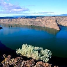
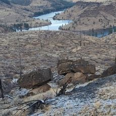
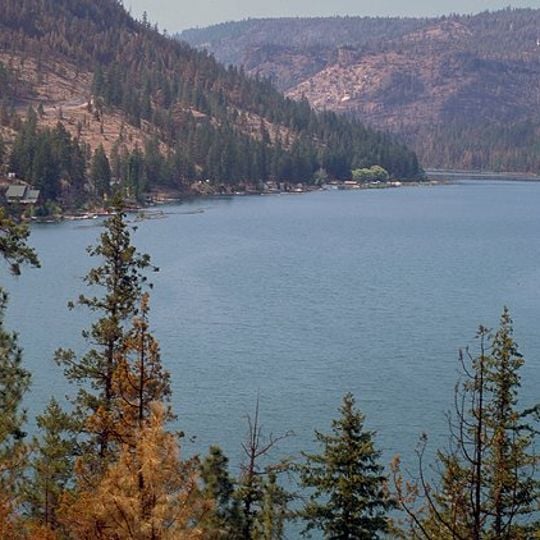
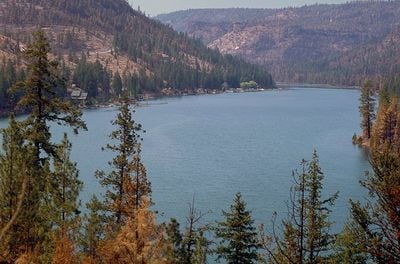
The Cove Palisades State Park, State park with three rivers junction in Oregon, US.

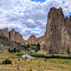
The Cove Palisades State Park covers 1,781 hectares along the Deschutes and Crooked River arms of Lake Billy Chinook, 24 km southwest of Madras. The three-armed reservoir fills a canyon walled by vertical basalt columns, with nearly 116 km of shoreline and a depth of up to 120 m. A band of Bimrock basalt is visible at the top of the cliffs.

In 1878 settler Clark Green Rogers named a bathing spot on the Crooked River "The Cove". Oregon acquired the land in 1940 and established The Cove State Park with a tent campground; further donations and purchases enlarged it until 1977, when it gained the suffix Palisades for the canyon's palisade-like basalt columns. Construction of Round Butte Dam, completed in 1964, flooded the original park grounds, so today's areas sit on the plateau above the canyon.

The park's name comes from a bathing spot in the Crooked River that settler Clark Green Rogers called "The Cove" in 1878; "Palisades" was added for the palisade-like basalt columns of the canyon. The Confederated Tribes of Warm Springs named Lake Billy Chinook after the Wasco guide who led John C. Frémont and Kit Carson in 1843 and 1844. Near the group campground stands Ship Rock, a basalt block carved with prehistoric petroglyphs that was moved to its present spot when the reservoir was built.

The park operates year-round, though water-based activities and most facilities operate seasonally during warmer months. Visitors should plan their trip around seasonal closures and check conditions before arriving, especially for camping and boat access.

The Island, a 200-acre plateau ringed by the Crooked and Deschutes river arms, looks like an island but is a peninsula cut off by high, sheer cliffs. It was designated a research natural area in 1986 and closed to nearly all public access in 1997, keeping one of the last pre-settlement ecology remnants in the western United States.

The community of curious travelers

AroundUs brings together thousands of curated places, local tips, and hidden gems, enriched daily by 94,512 contributors worldwide.
Start exploring
Location
Operator
Oregon Parks and Recreation Department
Address
Jordan Road
Phone
GPS coordinates
44.56711,-121.32955
Latest update
October 26, 2026 00:24
Around this place
Smith Rock State Park
United States of America

Smith Rock State Park

16.7 mi
Lake Billy Chinook
United States of America

Lake Billy Chinook

2.3 mi
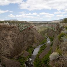
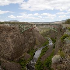
Crooked River High Bridge
United States of America

Crooked River High Bridge

13.8 mi
Peter Skene Ogden State Scenic Viewpoint
United States of America

Peter Skene Ogden State Scenic Viewpoint

13.9 mi
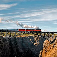
Crooked River Railroad Bridge
United States of America

Crooked River Railroad Bridge

13.8 mi
Crooked River Gorge
United States of America

Crooked River Gorge

11.5 mi
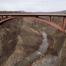
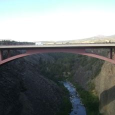
Rex T. Barber Veterans Memorial Bridge
United States of America

Rex T. Barber Veterans Memorial Bridge

13.8 mi
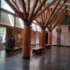
The Museum at Warm Springs
United States of America

The Museum at Warm Springs

14.1 mi
United States of America

Wizard Falls

15.3 mi
United States of America

Big Falls

13.7 mi
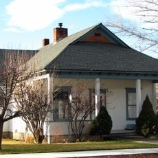
Max and Ollie Lueddemann House
United States of America

Max and Ollie Lueddemann House

11.1 mi
Metolius Balancing Rocks Overlook
United States of America

Metolius Balancing Rocks Overlook

4.6 mi
United States of America

Dam Observatory

3.6 mi
United States of America

Steelhead Falls

10.6 mi
United States of America

Dry Falls

8.8 mi
United States of America

Peter Skene Ogden Scenic Viewpoint

13.9 mi
United States of America

Austin Creson Viewpoint

15 mi
United States of America

Scenic viewpoint

16.2 mi
United States of America

Scenic viewpoint

15.8 mi
United States of America

Scenic viewpoint

15.9 mi
United States of America

Scenic viewpoint

14.8 mi
United States of America

Scenic viewpoint

3.7 mi
United States of America

Scenic viewpoint

3.3 mi
United States of America

Scenic viewpoint

3.6 mi
United States of America

Scenic viewpoint

3.5 mi
United States of America

Scenic viewpoint

10.4 mi
United States of America

Scenic viewpoint

3.7 mi
United States of America

Scenic viewpoint

9.9 mi
Show the full map
Reviews
Share your experience

No review yet

Discussions
Start a discussion...

No discussion yet

« The Cove Palisades State Park - State park with three rivers junction in Oregon, US » is provided by Around Us (aroundus.com). Images and texts are derived from Wikimedia project under a Creative Commons license. You are allowed to copy, distribute, and modify copies of this page, under the conditions set by the license, as long as this note is clearly visible.

Discover hidden gems everywhere you go!

From secret cafés to breathtaking viewpoints, skip the crowded tourist spots and find places that match your style. Our app makes it easy with voice search, smart filtering, route optimization, and insider tips from travelers worldwide. Download now for the complete mobile experience.

Around Us App Screenshot
❝

A unique approach to discovering new places❞

— Le Figaro

❝

All the places worth exploring❞

— France Info

❝

A tailor-made excursion in just a few clicks❞

— 20 Minutes

Around Us
Travel Guide & Maps
Download

Send to your phone

QR Code
1

Open the camera app on your mobile.

2

Point at the QR code with your camera. A notification will appear.

3

Tap the notification to open the link.