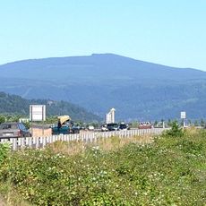
Mount Hood Corridor, Mountain corridor in Oregon, United States.
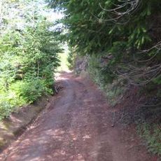
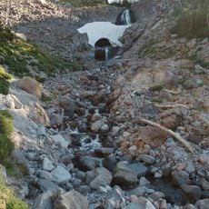
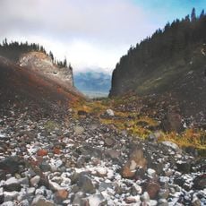
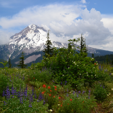
The Mount Hood Corridor is a mountain corridor in Oregon, running along U.S. Route 26 between the town of Sandy and Government Camp. It passes through dense forests, river valleys, and rising terrain that leads toward the volcanic summit of Mount Hood.
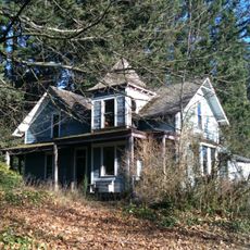
In 1846, a section of the Barlow Road opened as a toll route for settlers heading to Oregon City, passing through this area. It was one of the final stretches of the Oregon Trail, allowing travelers to avoid the Columbia River.
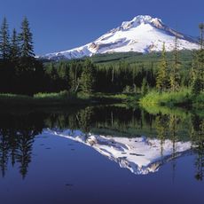
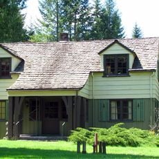
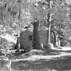
The name of the corridor comes from the volcanic peak, which holds deep spiritual meaning for the indigenous peoples of the region. Many place names along the route trace back to Native languages or early settlers, giving the drive through the area an added layer of meaning.
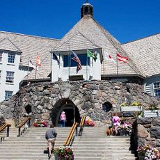
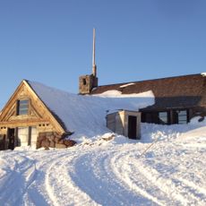
Winter tires or chains are often required on the higher sections of the route, so it is worth checking road conditions before setting out. Those planning to explore the upper areas should prepare for rapid weather changes at any time of year.
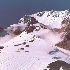
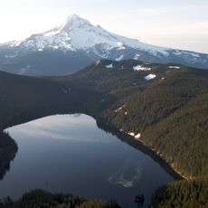
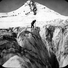
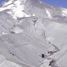
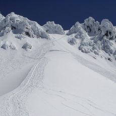
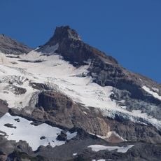
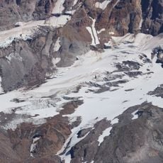
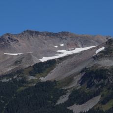
Mount Hood is one of the only volcanoes in the contiguous United States where glaciers support year-round skiing. In summer, many sports teams and professional athletes train on its slopes, as snow at that time of year is rare almost anywhere else.
The community of curious travelers
AroundUs brings together thousands of curated places, local tips, and hidden gems, enriched daily by 60,000 contributors worldwide.