
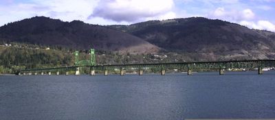
Hood River Bridge, bridge in Washington, USA
Location: Oregon
Location: Washington
Official opening: December 9, 1924
GPS coordinates: 45.71800,-121.49500
Latest update: September 23, 2025 16:46
Columbia River Gorge National Scenic Area
12.9 km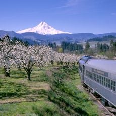
Mount Hood Railroad
7 km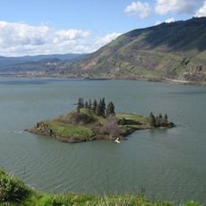
Eighteenmile Island
6.5 km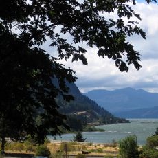
Starvation Creek State Park
15.4 km
Western Antique Aeroplane & Automobile Museum
5.8 km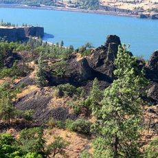
Memaloose State Park
12.8 km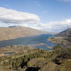
Mayer State Park
18.1 km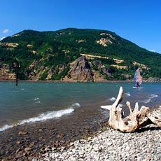
Viento State Park
13.7 km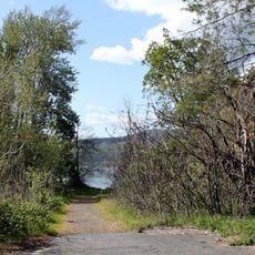
Koberg Beach State Recreation Site
3.9 km
Spring Creek Hatchery State Park
3.9 km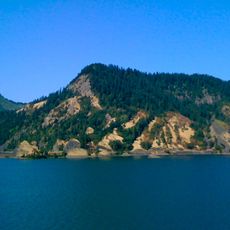
Seneca Fouts Memorial State Natural Area
9.8 km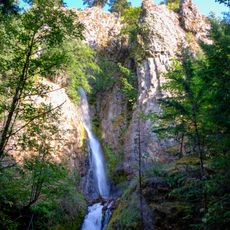
Hole-in-the-Wall Falls
16.5 km
Butler Bank
1.7 km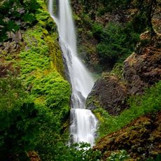
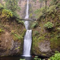
Starvation Creek Falls
15.4 km
Edward J. DeHart House
3.9 km
Simpson Copple House
2.4 km
Jefferson Mosier House
8.7 km
Cliff Lodge
3.8 km
Martin and Carrie Hill House
6.8 km
Orrin B. Hartley House
2.4 km
Davidson–Childs House
2 km
Ernest S. and Clara C. Colby House
2.4 km
Roe–Parker House
1.8 km
Shaw–Dumble House
2.2 km
Robert and Mabel Loomis House
2.3 km
Lester and Hazel Murphy House
2.3 km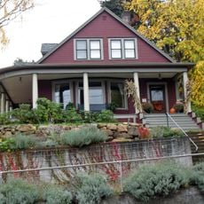
John C. Duckwall House
2.1 km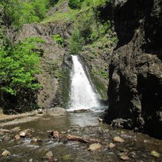
Dog Creek Falls
13.7 kmReviews
Visited this place? Tap the stars to rate it and share your experience / photos with the community! Try now! You can cancel it anytime.
Discover hidden gems everywhere you go!
From secret cafés to breathtaking viewpoints, skip the crowded tourist spots and find places that match your style. Our app makes it easy with voice search, smart filtering, route optimization, and insider tips from travelers worldwide. Download now for the complete mobile experience.

A unique approach to discovering new places❞
— Le Figaro
All the places worth exploring❞
— France Info
A tailor-made excursion in just a few clicks❞
— 20 Minutes