Chest opened
+${chestReward.xp} XP
Explorer
NOUVEAU ×${chestReward.collectible.quantity}
tapez pour fermer
Chest locked

Open chests in the app

Around Us is built for your phone — chests unlock when you walk, explore and capture nearby places.

Enable Location

We need your location to show you interesting places around you

Discover nearby places

Find interesting locations and hidden gems around you

Precise directions

Get accurate directions and distances to places

Your location is never shared with other users. It's only used when you tap the location button.

Sandy

Log in to your account

Start exploring — it's free

Trusted by 72,891 travelers worldwide

Continue with Google
Continue with Apple
or

We will send you a code to connect

By continuing, you accept our Terms and Conditions and our Privacy Policy

Check your inbox

We've sent a pincode in your inbox. Please enter the code below.

Discussion Reviews 1 Photos
25.6k Popularity

Sandy, Gateway city in Clackamas County, United States.

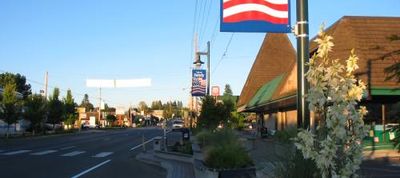
Sandy is a city in Clackamas County, Oregon, situated along Highway 26 and surrounded by forest. It serves as a gateway for visitors heading toward the mountains and Mount Hood National Forest.

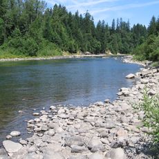
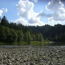
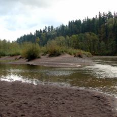
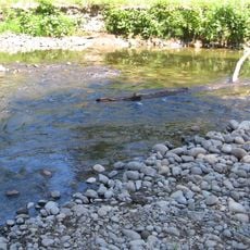
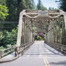
Sandy began as a settlement in 1853 and was officially incorporated as a city in 1913. The Sandy River influenced the area's development and growth.

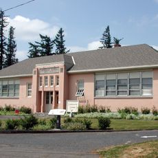
The city maintains strong ties to its logging heritage while hosting regular community gatherings and seasonal festivals at Meinig Memorial Park.

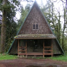
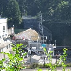
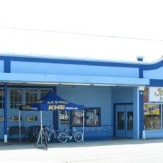
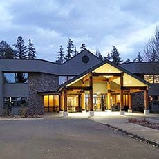
The city offers straightforward access and sits close to hiking trails and outdoor activities in the forest. Travelers can find lodging and supplies here before heading into the wilderness.

Two women were elected to city offices in 1919, making this place an early leader in female representation in Oregon local government. This choice was unusual for that era and showed the community's forward thinking.

The community of curious travelers

AroundUs brings together thousands of curated places, local tips, and hidden gems, enriched daily by 60,000 contributors worldwide.

Start exploring
Location
Inception
1913
Elevation above the sea
305 m
GPS coordinates
45.39750,-122.26639
Latest update
December 16, 2025 02:47
Around this place
Milo McIver State Park
United States of America

Milo McIver State Park

13.2 km
Oxbow Regional Park
United States of America

Oxbow Regional Park

11 km
View Point Inn
United States of America

View Point Inn

15.1 km
Camp Namanu
United States of America

Camp Namanu

5.9 km
Philip Foster Farm
United States of America

Philip Foster Farm

8 km
Dabney State Recreation Area
United States of America

Dabney State Recreation Area

14.8 km
Bonnie Lure State Recreation Area
United States of America

Bonnie Lure State Recreation Area

10 km
River Mill Hydroelectric Project
United States of America

River Mill Hydroelectric Project

12.7 km
Stark Street Bridge
United States of America

Stark Street Bridge

15.1 km
Springdale School
United States of America

Springdale School

14.4 km
Andreas Graf House
United States of America

Andreas Graf House

13.4 km
R. S. Smith Motor Company Building
United States of America

R. S. Smith Motor Company Building

493 m
Lusted Road Bridge
United States of America

Lusted Road Bridge

5.4 km
North American Bigfoot Center
United States of America

North American Bigfoot Center

6.9 km
United States of America

Southeast Neighborhood Park

13.4 km
United States of America

Mill River Park

12.6 km
David and Marianne Ott House
United States of America

David and Marianne Ott House

14.3 km
United States of America

Firwood Veneer Corporation Reservoir

4.7 km
Mount Hood National Forest Headquarters
United States of America

Mount Hood National Forest Headquarters

2.3 km
United States of America

Greenlea Golf Course

9.8 km
United States of America

Persimmon Country Club

14.3 km
United States of America

Mountain View Golf Course

9.4 km
United States of America

Clackamas Hatchery Visitor Center

13.5 km
United States of America

Clackamas Hatchery

13.5 km
United States of America

Jonsrud Viewpoint

1.4 km
United States of America

Milo McIver Memorial Viewpoint

13.9 km
United States of America

Scenic viewpoint

10.5 km
United States of America

Waterfall

14.2 km
Show the full map
Reviews
Share your experience

No review yet

Discussions
Start a discussion...

No discussion yet

« Sandy - Gateway city in Clackamas County, United States » is provided by Around Us (aroundus.com). Images and texts are derived from Wikimedia project under a Creative Commons license. You are allowed to copy, distribute, and modify copies of this page, under the conditions set by the license, as long as this note is clearly visible.

Discover hidden gems everywhere you go!

From secret cafés to breathtaking viewpoints, skip the crowded tourist spots and find places that match your style. Our app makes it easy with voice search, smart filtering, route optimization, and insider tips from travelers worldwide. Download now for the complete mobile experience.

Around Us App Screenshot

A unique approach to discovering new places

Le Figaro

All the places worth exploring

France Info

A tailor-made excursion in just a few clicks

20 Minutes

Around Us
Travel Guide & Maps
Download

Send to your phone

QR Code
1

Open the camera app on your mobile.

2

Point at the QR code with your camera. A notification will appear.

3

Tap the notification to open the link.