Chest opened
+${chestReward.xp} XP
Explorer
NOUVEAU ×${chestReward.collectible.quantity}
tapez pour fermer
Chest locked

Open chests in the app

Around Us is built for your phone — chests unlock when you walk, explore and capture nearby places.

Enable Location

We need your location to show you interesting places around you

Discover nearby places

Find interesting locations and hidden gems around you

Precise directions

Get accurate directions and distances to places

Your location is never shared with other users. It's only used when you tap the location button.

Boring

Log in to your account

Start exploring — it's free

Trusted by 72,888 travelers worldwide

Continue with Google
Continue with Apple
or

We will send you a code to connect

By continuing, you accept our Terms and Conditions and our Privacy Policy

Check your inbox

We've sent a pincode in your inbox. Please enter the code below.

Discussion Reviews 4 Photos
82.7k Popularity

Boring, Unincorporated community in Clackamas County, Oregon, United States

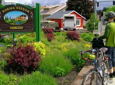
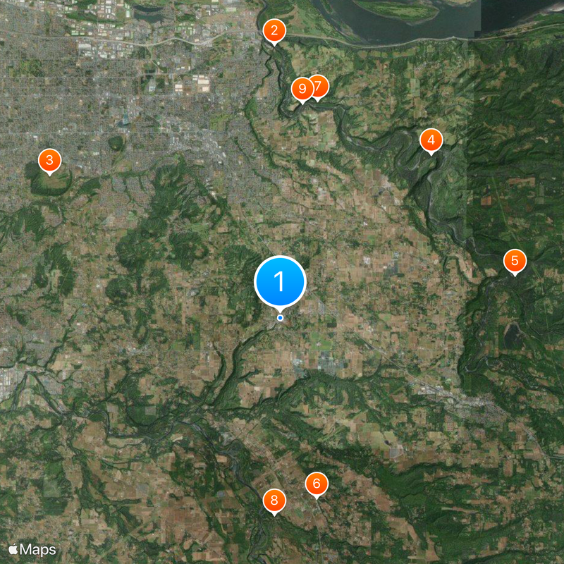
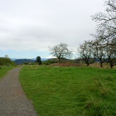
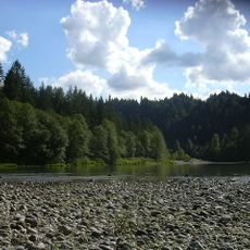
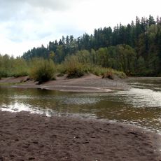
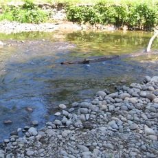
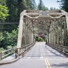
Boring is an unincorporated community in Clackamas County, Oregon, roughly 30 miles (48 kilometers) east of Portland. Rolling hills shape the landscape, surrounded by evergreen forests and open spaces suitable for walking and outdoor exploration.

William H. Boring, a land surveyor, arrived in the area during the late 19th century and founded the settlement in 1903. His family name became the official designation when a post office was established.

The name draws amused reactions from travelers and has inspired partnerships with other towns that carry similarly unusual titles. Locals accept the attention with good humor and occasionally use it to bring people together at community gatherings.

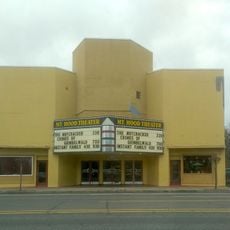
U.S. Route 26 runs through the community and links it to Gresham in the west and Sandy to the east. Visitors find mostly quiet roads and a few small stores that cater to local residents.

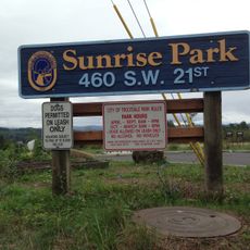
The community maintains an official partnership with the Scottish village of Dull and the Australian town of Bland, forming a trio that runs humorous campaigns. Travelers sometimes make deliberate stops to photograph the town sign and experience the irony of the naming.

The community of curious travelers

AroundUs brings together thousands of curated places, local tips, and hidden gems, enriched daily by 60,000 contributors worldwide.

Start exploring
Location
Inception
1903
Elevation above the sea
154 m
GPS coordinates
45.43000,-122.37361
Latest update
December 13, 2025 16:23
Around this place
Historic Columbia River Highway
United States of America

Historic Columbia River Highway

12.1 km
Powell Butte
United States of America

Powell Butte

12 km
Oxbow Regional Park
United States of America

Oxbow Regional Park

9.9 km
Camp Namanu
United States of America

Camp Namanu

10.5 km
Philip Foster Farm
United States of America

Philip Foster Farm

8.1 km
Dabney State Recreation Area
United States of America

Dabney State Recreation Area

9.8 km
Bonnie Lure State Recreation Area
United States of America

Bonnie Lure State Recreation Area

8.7 km
Stark Street Bridge
United States of America

Stark Street Bridge

9.5 km
Living Room
United States of America

Living Room

9.1 km
Gresham Carnegie Library
United States of America

Gresham Carnegie Library

9 km
Springdale School
United States of America

Springdale School

10.5 km
Gresham Library
United States of America

Gresham Library

9.1 km
Louise Home Hospital and Residence Hall
United States of America

Louise Home Hospital and Residence Hall

11.2 km
Dr. Herbert H. Hughes House
United States of America

Dr. Herbert H. Hughes House

9.3 km
Troutdale Methodist Episcopal Church
United States of America

Troutdale Methodist Episcopal Church

11.8 km
Fred Harlow House
United States of America

Fred Harlow House

12 km
William Gedamke House
United States of America

William Gedamke House

8.2 km
Emanuel and Christina Anderson House
United States of America

Emanuel and Christina Anderson House

7.1 km
Troutdale Library
United States of America

Troutdale Library

11.4 km
Charles and Fae Olson House
United States of America

Charles and Fae Olson House

8.3 km
R. S. Smith Motor Company Building
United States of America

R. S. Smith Motor Company Building

9.6 km
Lusted Road Bridge
United States of America

Lusted Road Bridge

9.5 km
Troutdale Sandy River Bridge
United States of America

Troutdale Sandy River Bridge

12.1 km
Roy E. and Hildur L. Amundsen House
United States of America

Roy E. and Hildur L. Amundsen House

9.6 km
Damascus School
United States of America

Damascus School

6.8 km
North American Bigfoot Center
United States of America

North American Bigfoot Center

2.6 km
Sunrise Park
United States of America

Sunrise Park

10.7 km
Mt. Hood Theatre
United States of America

Mt. Hood Theatre

8.7 km
Show the full map
Reviews
Share your experience

No review yet

Discussions
Start a discussion...

No discussion yet

« Boring - Unincorporated community in Clackamas County, Oregon, United States » is provided by Around Us (aroundus.com). Images and texts are derived from Wikimedia project under a Creative Commons license. You are allowed to copy, distribute, and modify copies of this page, under the conditions set by the license, as long as this note is clearly visible.

Discover hidden gems everywhere you go!

From secret cafés to breathtaking viewpoints, skip the crowded tourist spots and find places that match your style. Our app makes it easy with voice search, smart filtering, route optimization, and insider tips from travelers worldwide. Download now for the complete mobile experience.

Around Us App Screenshot

A unique approach to discovering new places

Le Figaro

All the places worth exploring

France Info

A tailor-made excursion in just a few clicks

20 Minutes

Around Us
Travel Guide & Maps
Download

Send to your phone

QR Code
1

Open the camera app on your mobile.

2

Point at the QR code with your camera. A notification will appear.

3

Tap the notification to open the link.