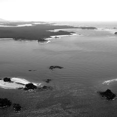
Esperanza Inlet, Marine inlet in Vancouver Island, Canada
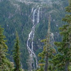
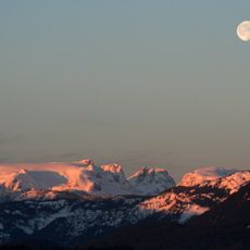
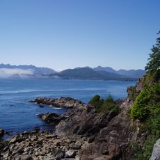
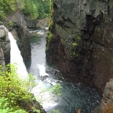
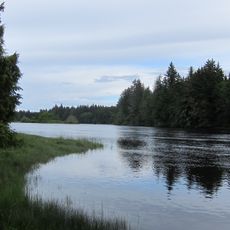
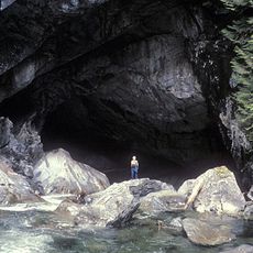
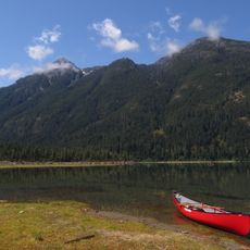
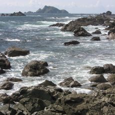
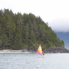
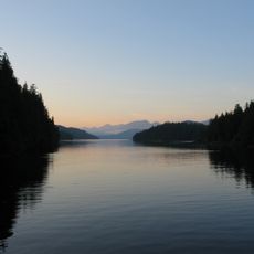
Esperanza Inlet is a marine inlet on the western coast of Vancouver Island with deep waters surrounded by forested mountains and numerous secluded coves. The shoreline is defined by densely vegetated slopes that drop directly into the water.
Captain James Cook initially mapped this location as Hope Bay, before officers under Alessandro Malaspina conducted detailed surveys in 1791. These early explorations formed the foundation for how we understand this coastal region today.
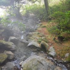
The Nuu-chah-nulth people have deep roots here, and visitors can explore archaeological sites throughout Nuchatlitz Provincial Park that show their long presence in the region. These places remain visible connections to the people who have known this landscape for generations.
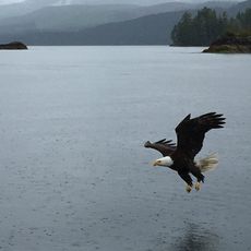
Reaching this inlet requires boat travel or floatplane service, with regular routes operated by the vessel MV Uchuck III being a common option. Visitors should prepare for changeable weather and rough water conditions, especially during cooler months.
Killer whales and gray whales regularly pass through these waters, while sea otter populations are slowly recovering in the area. Visitors may also spot black bears along the surrounding shores where the forest meets the water.
The community of curious travelers
AroundUs brings together thousands of curated places, local tips, and hidden gems, enriched daily by 60,000 contributors worldwide.