Taylor Arm Provincial Park, Provincial park on Sproat Lake, Vancouver Island, Canada
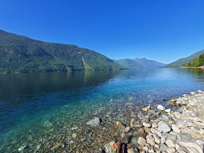
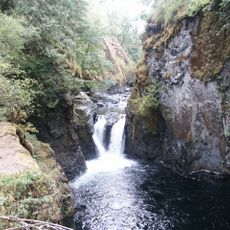
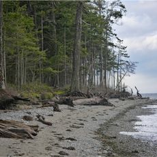
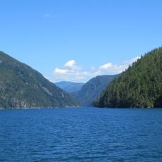
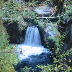
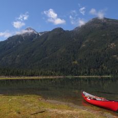
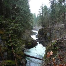
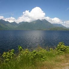
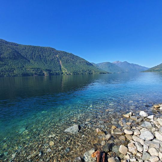
Taylor Arm Provincial Park covers 71 hectares on the north shore of Sproat Lake, 23 km northwest of Port Alberni along Highway 4. Friesen Creek, Clutesi Creek and Bookhout Creek run through the park and empty into the lake. The park has undeveloped beaches and day-use areas, and its group camping site is linked to the shore by a trail passing under the highway.
Taylor Arm Provincial Park lies on the north shore of Sproat Lake, 23 km northwest of Port Alberni along Highway 4, and covers 71 hectares. The sources consulted give no founding date, so the 1979 establishment claim cannot be confirmed. Three creeks, Friesen, Clutesi and Bookhout, cross the park and empty into the lake.
The park lies within the traditional territory of the Tseshaht First Nation, a Nuu-chah-nulth people whose name is remembered in Clutesi Creek, one of three streams flowing through the park into Sproat Lake. The creek names are among the few cultural markers a visitor can pick out on the landscape.
The site sits northwest of Port Alberni and offers camping spots with basic facilities for tent campers. The simple setup means visitors should bring their own gear and supplies.
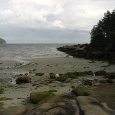
The group campsite sits apart from the shore, linked to the beach by a single trail that passes under Highway 4. Campers walk this route to reach the undeveloped shoreline of Sproat Lake.
The community of curious travelers
AroundUs brings together thousands of curated places, local tips, and hidden gems, enriched daily by 94,457 contributors worldwide.