
Arran Rapids, rapids in British Columbia, Canada
Location: British Columbia
Elevation above the sea: 37 m
GPS coordinates: 50.41992,-125.14036
Latest update: March 8, 2025 04:01

Golden Hinde
94.8 km
Strathcona Provincial Park
73.7 km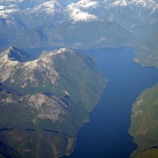
Jervis Inlet
95.9 km
Toba Inlet
45.4 km
Elk Falls Provincial Park
43.1 km
Mount Alfred
79.3 km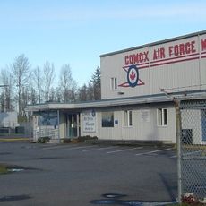
Comox Air Force Museum
80.2 km
Homathko Icefield
86.9 km
Miracle Beach Provincial Park
63.5 km
Kitty Coleman Beach Provincial Park
71.1 km
Mitlenatch Island Nature Provincial Park
53.3 km
Cape Mudge Lighthouse
47.1 km
Powell River
60.5 km
Malibu Rapids
96.1 km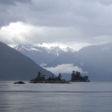
Desolation Sound Marine Provincial Park
47 km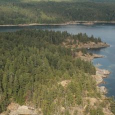
Copeland Islands Marine Provincial Park
50.2 km
Salmon River
56.3 km
Elk Falls Suspension Bridge
44.2 km
Main Lake Provincial Park
23.9 km
Courtenay River
82.4 km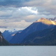
Southgate River
73.3 km
Rebecca Spit Marine Provincial Park
35.7 km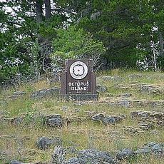
Octopus Islands Marine Provincial Park
17 km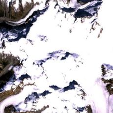
Franklin Glacier
95.8 km
Okeover Arm Provincial Park
56.5 km
Franklin River
85.9 km
The Park Golf Course & Restaurant & RV Park
81.1 km
Motor Vessel BCP 45
47.5 kmReviews
Visited this place? Tap the stars to rate it and share your experience / photos with the community! Try now! You can cancel it anytime.
Discover hidden gems everywhere you go!
From secret cafés to breathtaking viewpoints, skip the crowded tourist spots and find places that match your style. Our app makes it easy with voice search, smart filtering, route optimization, and insider tips from travelers worldwide. Download now for the complete mobile experience.

A unique approach to discovering new places❞
— Le Figaro
All the places worth exploring❞
— France Info
A tailor-made excursion in just a few clicks❞
— 20 Minutes