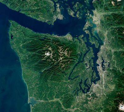
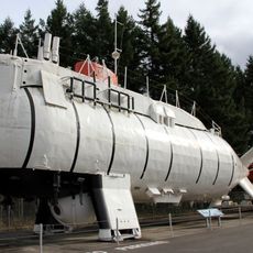
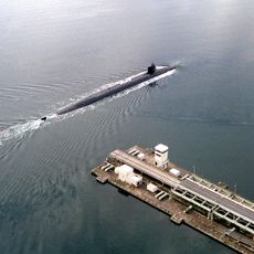
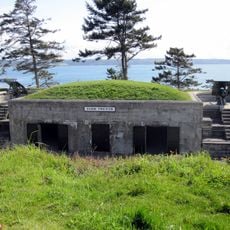
Olympic Peninsula, Peninsula in western Washington, United States.
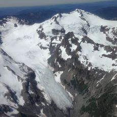
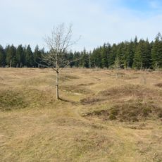
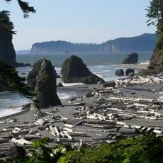
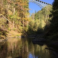
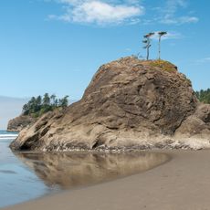
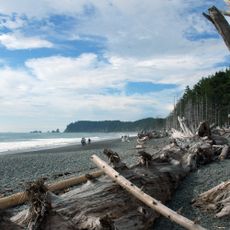
The Olympic Peninsula is a peninsula in western Washington between the Pacific Ocean, Strait of Juan de Fuca, and Hood Canal. Forests cover much of the landscape, while mountains rise inland and rocky beaches alternate with sandy coves along the shore.
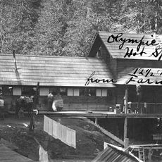
European explorers reached the peninsula in the late 18th century, but the interior remained unexplored for decades. Between 1898 and 1900, Arthur Dodwell and Theodore Rixon mapped the topography and timber resources for the first time.
Several indigenous tribes continue to live on the peninsula, maintaining traditional connections to the land and sea. Their communities shape many coastal towns and preserve cultural traditions through ceremonies and craftsmanship.
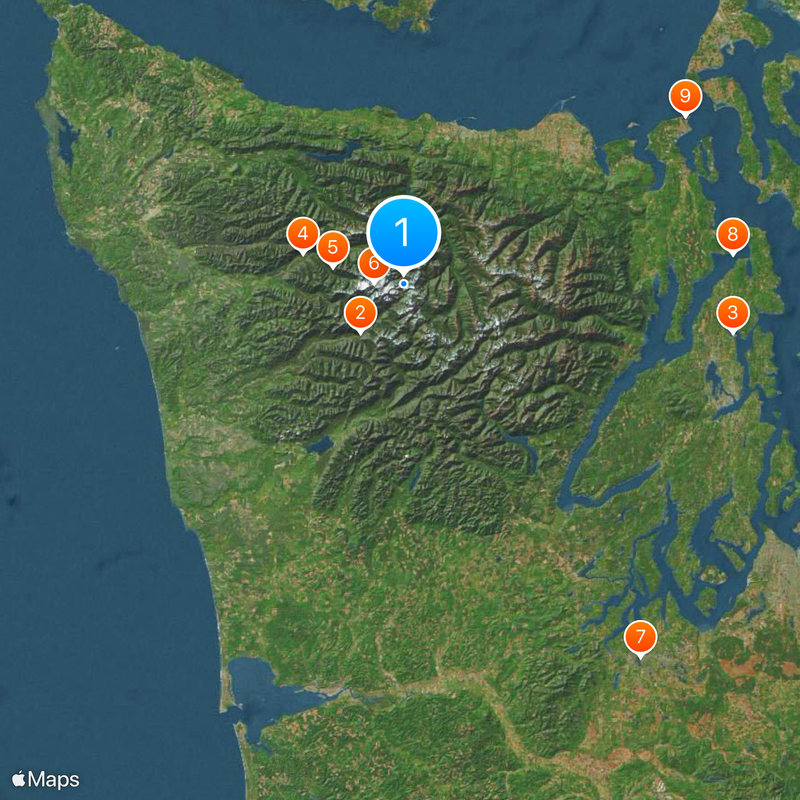
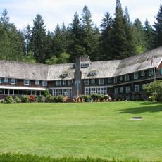
U.S. Route 101 circles the peninsula and connects the main coastal towns. Visitors planning to explore all sides should allow several days, as distances are considerable.
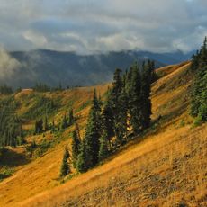
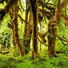
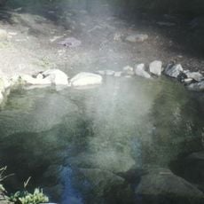
The western side receives more annual rainfall than almost any other area in the continental United States. Some spots get over 140 inches (3.5 meters) per year, sustaining temperate rainforests.
The community of curious travelers
AroundUs brings together thousands of curated places, local tips, and hidden gems, enriched daily by 60,000 contributors worldwide.