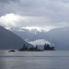
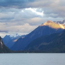
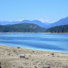
Loughborough Inlet, Coastal inlet in British Columbia, Canada.
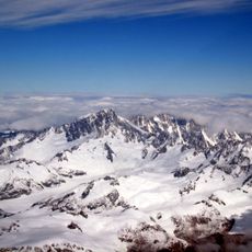
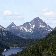
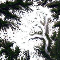
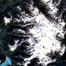
Loughborough Inlet is a coastal waterway in British Columbia that cuts through mountainous terrain from the Stafford River. The channel connects to open water through two separate passages and provides a protected route through dramatic landscape.
British cartographer James Johnstone mapped this inlet during the 1790s as part of a major survey expedition along the Pacific Northwest coast. His detailed work formed the basis for how people understood and navigated these waters afterward.
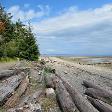
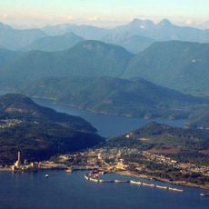
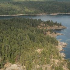
Roy was once a busy fishing processing center where workers handled the daily catch from these waters. Walking through the area today, you can still sense the rhythm of that industrial past in what remains.
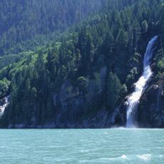
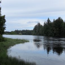
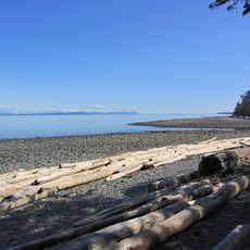
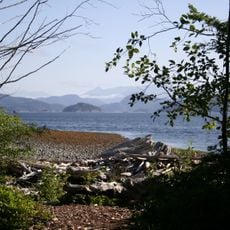
Boats can enter this waterway through two main entrances that are well-marked from the outer channels. Plan your passage around tidal conditions and variable weather typical of this coastal region.
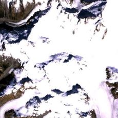
The upper section of this inlet comes very close to another major waterway called Knight Inlet, with only a narrow strip of land separating them. This geography creates an unusual landscape that catches many visitors by surprise.
The community of curious travelers
AroundUs brings together thousands of curated places, local tips, and hidden gems, enriched daily by 60,000 contributors worldwide.