Whidbey Island, Island in Island County, United States
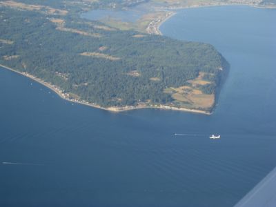
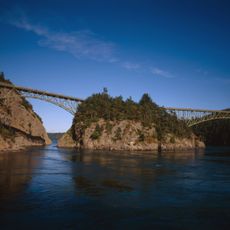
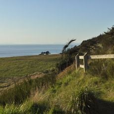
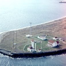
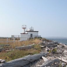
Whidbey Island stretches 88 kilometers (55 miles) in length and ranges between 2.4 and 19 kilometers (1.5 to 12 miles) in width, with a jagged coastline of sandy beaches, rocky cliffs and quiet coves. The island forms the northern boundary of Puget Sound and is separated from the mainland by a narrow strait.
Captain George Vancouver mapped the island in 1792 during his exploration of the North American Pacific coast. The first European settlers arrived in the 1850s, shortly after the United States acquired the territory through the Oregon Treaty with Britain.
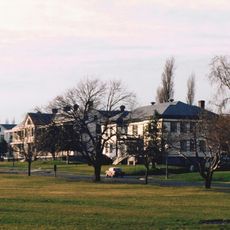
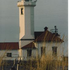
The name comes from Joseph Whidbey, an officer who sailed around its shores. Today it is home to artists, farmers and descendants of early European settlers who care for the coastal landscape.
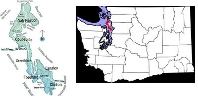
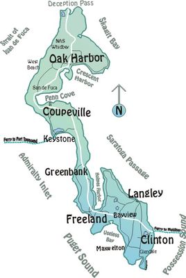
The bridge at Deception Pass in the north connects the mainland to the upper part, while the ferry between Clinton and Mukilteo provides access to the southern end. Beaches and walking trails are open year-round, but late summer fog season can limit visibility along the coast.
Seven different microclimates divide the island into zones with varying rainfall and temperatures. The north receives more precipitation than the south, which changes the vegetation and color of the landscape noticeably.
The community of curious travelers
AroundUs brings together thousands of curated places, local tips, and hidden gems, enriched daily by 60,000 contributors worldwide.