Chest opened
+${chestReward.xp} XP
Explorer
NOUVEAU ×${chestReward.collectible.quantity}
tapez pour fermer
Chest locked

Open chests in the app

Around Us is built for your phone — chests unlock when you walk, explore and capture nearby places.

Enable Location

We need your location to show you interesting places around you

Discover nearby places

Find interesting locations and hidden gems around you

Precise directions

Get accurate directions and distances to places

Your location is never shared with other users. It's only used when you tap the location button.

Log in to your account

Start exploring — it's free

Trusted by 72,966 travelers worldwide

Continue with Google
Continue with Apple
or

We will send you a code to connect

By continuing, you accept our Terms and Conditions and our Privacy Policy

Check your inbox

We've sent a pincode in your inbox. Please enter the code below.

Tejon Ranch
Discussion Reviews Photo
29.8k Popularity

Tejon Ranch, Corporate ranch in Lebec, California, US.

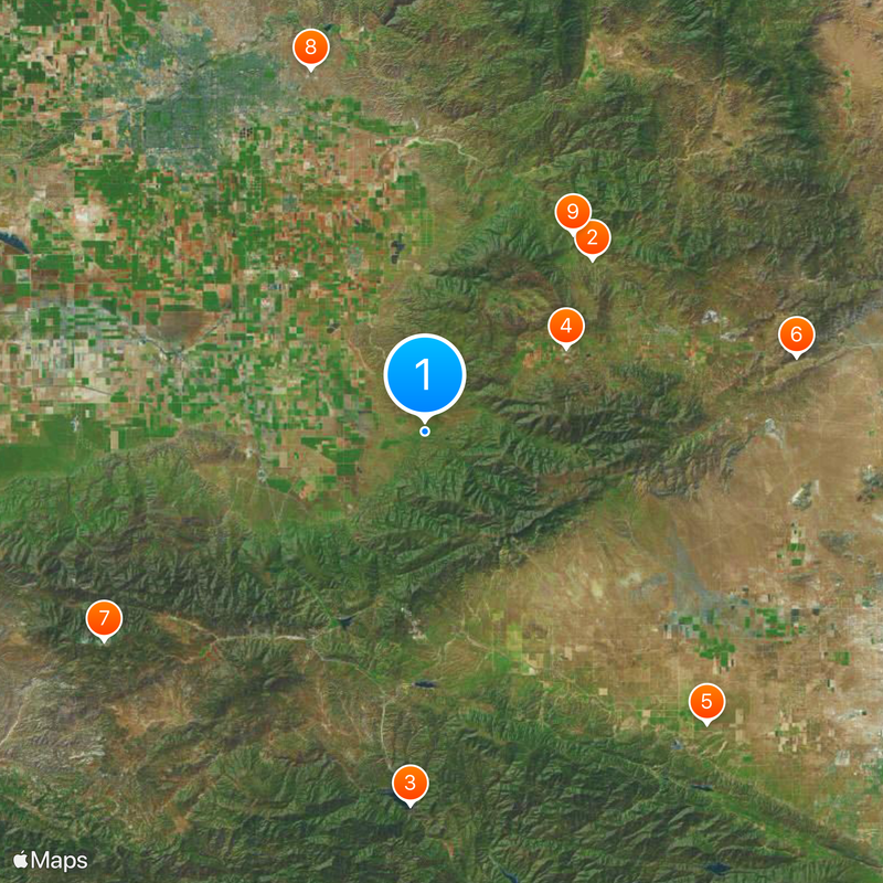
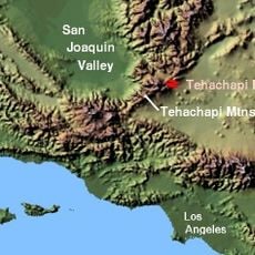
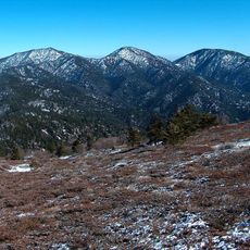
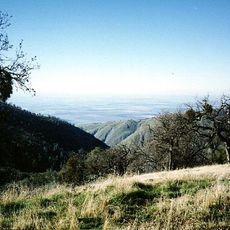
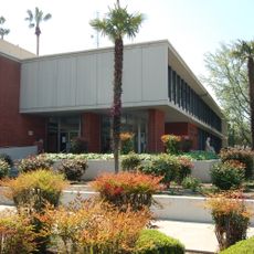
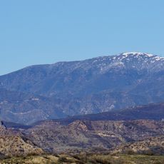
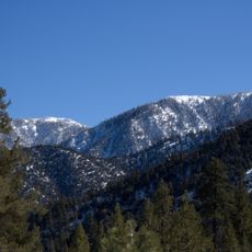
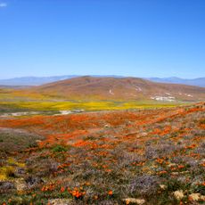
Tejon Ranch is a large agricultural operation spanning 270,000 acres across three geographic zones: the southern San Joaquin Valley, the Tehachapi Mountains, and the Antelope Valley. It focuses on growing almonds, pistachios, and wine grapes while also managing commercial real estate development and conservation areas.

In 1843, Governor Micheltoreda granted Rancho El Tejón, which later incorporated three separate Mexican land grants. Edward Beale consolidated these parcels into a single property between 1855 and 1866.

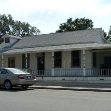
The property is home to the Sebastian Indian Reservation, established in 1853, which represents the Native American presence on this ancestral land. This connection to indigenous heritage remains visible in the way the community and landscape are organized today.

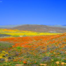
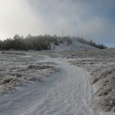
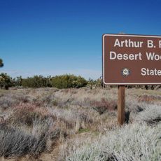
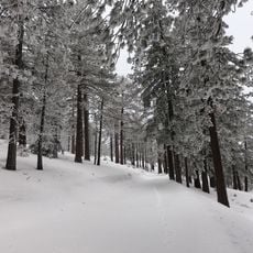
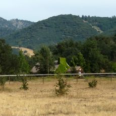
Visitors can participate in scheduled hiking programs and recreational activities offered throughout the property. The sprawling landscape features diverse terrain, so it helps to plan ahead to see the areas that interest you most.

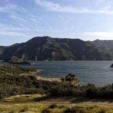
A conservation agreement signed in 2008 protected 240,000 acres of the property in what became California's largest private land conservation arrangement. This agreement reflects how modern land management incorporates environmental protection on a vast scale.

The community of curious travelers

AroundUs brings together thousands of curated places, local tips, and hidden gems, enriched daily by 60,000 contributors worldwide.

Start exploring
GPS coordinates
35.02530,-118.74600
Latest update
December 20, 2025 03:01
Around this place
Tehachapi Loop
United States of America

Tehachapi Loop

27.3 km
Pyramid Lake
United States of America

Pyramid Lake

42.5 km
California Correctional Institution
United States of America

California Correctional Institution

18.7 km
Antelope Valley California Poppy Reserve State Natural Reserve
United States of America

Antelope Valley California Poppy Reserve State Natural Reserve

46.1 km
Tehachapi Pass
United States of America

Tehachapi Pass

43.1 km
Mount Pinos
United States of America

Mount Pinos

43.5 km
Kevin Harvick's Kern Raceway
United States of America

Kevin Harvick's Kern Raceway

43 km
Cesar E. Chavez National Monument
United States of America

Cesar E. Chavez National Monument

28.1 km
Arthur B. Ripley Desert Woodland State Park
United States of America

Arthur B. Ripley Desert Woodland State Park

37 km
Frazier Mountain
United States of America

Frazier Mountain

34.5 km
United States of America

Antimony Peak

37.3 km
Double Mountain
United States of America

Double Mountain

23.6 km
Bear Mountain
United States of America

Bear Mountain

22.3 km
Bakersfield City Hall
United States of America

Bakersfield City Hall

46 km
Bakersfield Museum of Art
United States of America

Bakersfield Museum of Art

45.9 km
Burnt Peak
United States of America

Burnt Peak

41.2 km
ESMoA
United States of America

ESMoA

38.1 km
Sawmill Mountain
United States of America

Sawmill Mountain

45.1 km
Bakersfield California Building
United States of America

Bakersfield California Building

46.2 km
Buena Vista Museum of Natural History
United States of America

Buena Vista Museum of Natural History

46.4 km
Baker Branch Library
United States of America

Baker Branch Library

45.6 km
Vista del Lago
United States of America

Vista del Lago

40.4 km
Fairmont Butte
United States of America

Fairmont Butte

43.6 km
Errea House
United States of America

Errea House

29.6 km
Courtlandt Gross House
United States of America

Courtlandt Gross House

21.3 km
Kern Veterans Memorial
United States of America

Kern Veterans Memorial

45.5 km
Tehachapi Depot Museum
United States of America

Tehachapi Depot Museum

29.7 km
Mournig Cloak Ranch and Botanical Gardens
United States of America

Mournig Cloak Ranch and Botanical Gardens

29.6 km
Show the full map
Reviews
Share your experience

No review yet

Discussions
Start a discussion...

No discussion yet

« Tejon Ranch - Corporate ranch in Lebec, California, US » is provided by Around Us (aroundus.com). Images and texts are derived from Wikimedia project under a Creative Commons license. You are allowed to copy, distribute, and modify copies of this page, under the conditions set by the license, as long as this note is clearly visible.

Discover hidden gems everywhere you go!

From secret cafés to breathtaking viewpoints, skip the crowded tourist spots and find places that match your style. Our app makes it easy with voice search, smart filtering, route optimization, and insider tips from travelers worldwide. Download now for the complete mobile experience.

Around Us App Screenshot

A unique approach to discovering new places

Le Figaro

All the places worth exploring

France Info

A tailor-made excursion in just a few clicks

20 Minutes

Around Us
Travel Guide & Maps
Download

Send to your phone

QR Code
1

Open the camera app on your mobile.

2

Point at the QR code with your camera. A notification will appear.

3

Tap the notification to open the link.