Chest opened
+${chestReward.xp} XP
Explorer
NOUVEAU ×${chestReward.collectible.quantity}
tapez pour fermer
Chest locked

Open chests in the app

Around Us is built for your phone — chests unlock when you walk, explore and capture nearby places.

Enable Location

We need your location to show you interesting places around you

Discover nearby places

Find interesting locations and hidden gems around you

Precise directions

Get accurate directions and distances to places

Your location is never shared with other users. It's only used when you tap the location button.

Log in to your account

Start exploring — it's free

Trusted by 72,879 travelers worldwide

Continue with Google
Continue with Apple
or

We will send you a code to connect

By continuing, you accept our Terms and Conditions and our Privacy Policy

Check your inbox

We've sent a pincode in your inbox. Please enter the code below.

Northfork Rancheria of Mono Indians of California
Discussion Reviews Photo
3.6k Popularity

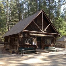
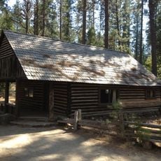
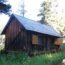
Northfork Rancheria of Mono Indians of California, Indigenous reservation in Sierra Nevada foothills, California.

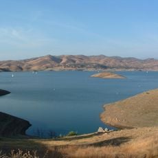
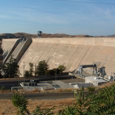
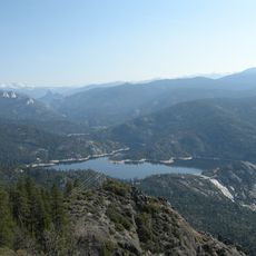
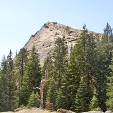
Northfork Rancheria is a tribal land spanning 80 acres in the Sierra Nevada foothills where the Mono people live and maintain their community. The reservation sits near the edge of Sierra National Forest in Madera County.

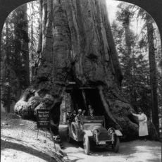
The government set aside this land in 1851 as a place for the Western Mono people to live after the Gold Rush changed their world. This decision came when many tribes across California were losing their ancestral territories.

The Mono community keeps their heritage alive through gatherings where people share stories, play traditional music, and prepare foods using acorns and other local plants that their families have always used.

This is an active community where the Mono people live, so visitors should approach with respect for residents and their daily life. The tribe hosts gatherings and events throughout the year where outsiders can learn about their history and traditions.

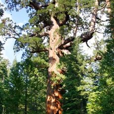
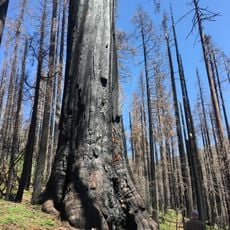
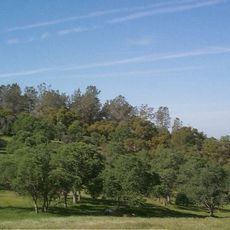
The Mono people have used forest management methods for hundreds of years that help protect the land around them. These techniques based on careful observation of nature are still used today and show how indigenous knowledge can benefit the environment.

The community of curious travelers

AroundUs brings together thousands of curated places, local tips, and hidden gems, enriched daily by 60,000 contributors worldwide.

Start exploring
Location
GPS coordinates
37.22140,-119.47400
Latest update
December 12, 2025 07:53
Around this place
Wawona Tree
United States of America

Wawona Tree

34.4 km
Grizzly Giant
United States of America

Grizzly Giant

33.4 km
Shaver Lake
United States of America

Shaver Lake

19.4 km
Sierra National Forest
United States of America

Sierra National Forest

34.8 km
Millerton Lake
United States of America

Millerton Lake

25.6 km
Wawona Hotel
United States of America

Wawona Hotel

38.6 km
Huntington Lake
United States of America

Huntington Lake

24.4 km
Yosemite Mountain Sugar Pine Railroad
United States of America

Yosemite Mountain Sugar Pine Railroad

29.9 km
Friant Dam
United States of America

Friant Dam

32 km
Bass Lake
United States of America

Bass Lake

12.2 km
Mammoth Pool Reservoir
United States of America

Mammoth Pool Reservoir

20.8 km
Nelder Grove
United States of America

Nelder Grove

25.5 km
United States of America

Cold Springs Rancheria of Mono Indians of California

30.8 km
Fresno Dome
United States of America

Fresno Dome

26.5 km
Dinkey Creek Bridge
United States of America

Dinkey Creek Bridge

33.2 km
Balsam Forebay
United States of America

Balsam Forebay

20.7 km
Wawona Covered Bridge
United States of America

Wawona Covered Bridge

38.8 km
Yosemite Transportation Company Office
United States of America

Yosemite Transportation Company Office

38.8 km
Yosemite History Center
United States of America

Yosemite History Center

38.8 km
San Joaquin
United States of America

San Joaquin

19.5 km
Chris Jorgensen Studio
United States of America

Chris Jorgensen Studio

38.9 km
Buck Camp Patrol Cabin
United States of America

Buck Camp Patrol Cabin

37.9 km
Mariposa Grove Museum
United States of America

Mariposa Grove Museum

34.3 km
Wawona Visitor Center
United States of America

Wawona Visitor Center

38.6 km
The Wawona Hotel and Studio
United States of America

The Wawona Hotel and Studio

38.5 km
Ranger Patrol Cabin
United States of America

Ranger Patrol Cabin

38.9 km
Shuteye Peak Lookout
United States of America

Shuteye Peak Lookout

14.8 km
South Entrance Office
United States of America

South Entrance Office

34.7 km
Show the full map
Reviews
Share your experience

No review yet

Discussions
Start a discussion...

No discussion yet

« Northfork Rancheria of Mono Indians of California - Indigenous reservation in Sierra Nevada foothills, California » is provided by Around Us (aroundus.com). Images and texts are derived from Wikimedia project under a Creative Commons license. You are allowed to copy, distribute, and modify copies of this page, under the conditions set by the license, as long as this note is clearly visible.

Discover hidden gems everywhere you go!

From secret cafés to breathtaking viewpoints, skip the crowded tourist spots and find places that match your style. Our app makes it easy with voice search, smart filtering, route optimization, and insider tips from travelers worldwide. Download now for the complete mobile experience.

Around Us App Screenshot

A unique approach to discovering new places

Le Figaro

All the places worth exploring

France Info

A tailor-made excursion in just a few clicks

20 Minutes

Around Us
Travel Guide & Maps
Download

Send to your phone

QR Code
1

Open the camera app on your mobile.

2

Point at the QR code with your camera. A notification will appear.

3

Tap the notification to open the link.