
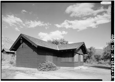
Lower Vine Ranch, ranch en Californie
Location: Inyo County
Inception: 1920s
GPS coordinates: 37.01816,-117.38720
Latest update: March 17, 2025 17:21
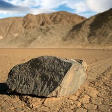
Sailing stones
40.6 km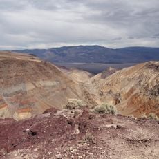
Rainbow Canyon
73.9 km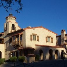
Scotty's Castle
4.4 km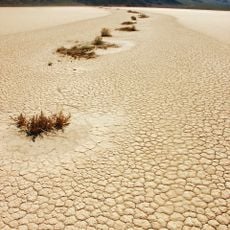
Racetrack Playa
40.6 km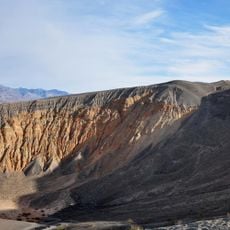
Ubehebe Crater
5.7 km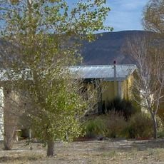
Shady Lady Ranch
43 km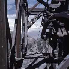
Saline Valley salt tram
61.7 km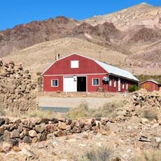
Goldwell Open Air Museum
51.2 km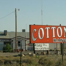
Cottontail Ranch
56.6 km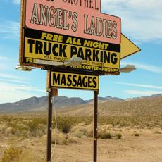
Angel's Ladies
58.5 km
Skidoo
68.3 km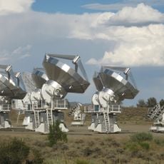
Combined Array for Research in Millimeter-wave Astronomy
73.1 km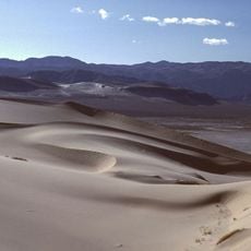
Eureka Dunes
27 km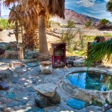
Saline Valley Hot Springs
41.7 km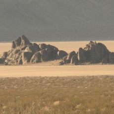
The Grandstand
39.6 km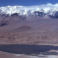
Tinemaha Reservoir
74.6 km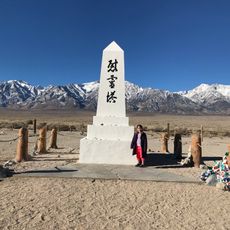
Manzanar National Historic Site
75.1 km
Racetrack mountain area
40.6 km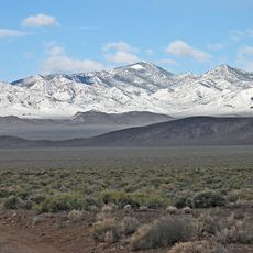
Grapevine Peak
21.9 km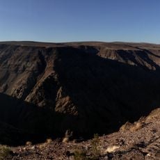
Father Crowley Viewpoint
75.1 km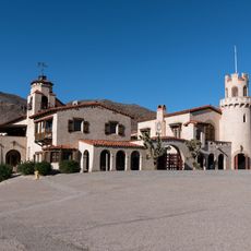
Death Valley Scotty Historic District
0 m
Beatty Museum & Historical Society
57 km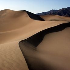
Mesquite Flat Sand Dunes
47.6 km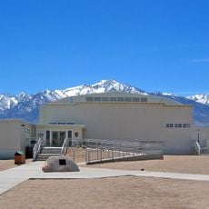
Manzanar Visitor Center
75.1 km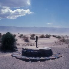
Old Stovepipe Wells
48.5 km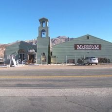
Beatty Museum
57 km
Stovepipe Wells Campground
50.4 km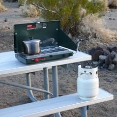
Mesquite Spring Campground
6.4 kmReviews
Visited this place? Tap the stars to rate it and share your experience / photos with the community! Try now! You can cancel it anytime.
Discover hidden gems everywhere you go!
From secret cafés to breathtaking viewpoints, skip the crowded tourist spots and find places that match your style. Our app makes it easy with voice search, smart filtering, route optimization, and insider tips from travelers worldwide. Download now for the complete mobile experience.

A unique approach to discovering new places❞
— Le Figaro
All the places worth exploring❞
— France Info
A tailor-made excursion in just a few clicks❞
— 20 Minutes