Chest opened
+${chestReward.xp} XP
Explorer
NOUVEAU ×${chestReward.collectible.quantity}
tapez pour fermer
Chest locked

Open chests in the app

Around Us is built for your phone — chests unlock when you walk, explore and capture nearby places.

Enable Location

We need your location to show you interesting places around you

Discover nearby places

Find interesting locations and hidden gems around you

Precise directions

Get accurate directions and distances to places

Your location is never shared with other users. It's only used when you tap the location button.

Log in to your account

Start exploring — it's free

Trusted by 72,921 travelers worldwide

Continue with Google
Continue with Apple
or

We will send you a code to connect

By continuing, you accept our Terms and Conditions and our Privacy Policy

Check your inbox

We've sent a pincode in your inbox. Please enter the code below.

Southern Nevada
Discussion Reviews Photo
12.8k Popularity

Southern Nevada, Geographic region in Nevada, United States.

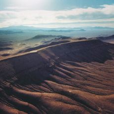
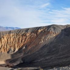
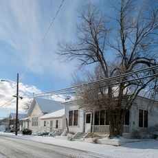
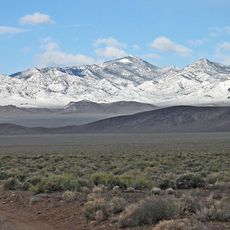
Southern Nevada stretches across vast desert landscapes, mountain ranges, and urban areas, including Las Vegas and several national recreation areas. The terrain varies from flat, open expanses to rugged ridges, offering different types of scenery and conditions for exploration.

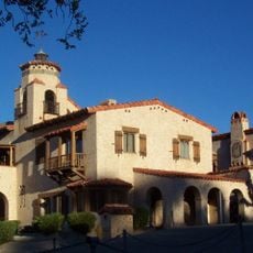
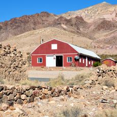
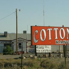
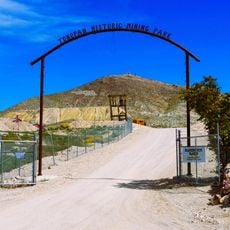
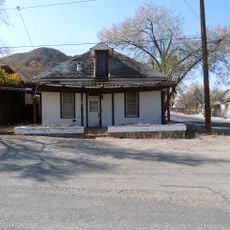
The region was originally home to Native American peoples and later shaped by mining settlements before Las Vegas emerged as an entertainment hub in the early 1900s. This shift completely transformed how the land was used and developed.

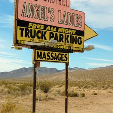
The region reflects Native American roots and Spanish influences through local festivals, food, and community traditions that visitors can experience today. These cultural layers appear naturally in how people celebrate and gather together.

The region offers year-round opportunities for hiking, camping, and outdoor activities, with mild winters and warm summers creating good conditions for exploring outside. Spring and fall are the best times to visit when temperatures are most comfortable.

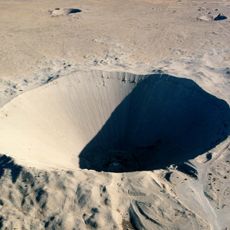
The region contains one of the lowest points in the state along the Colorado River and was the site of nuclear testing from 1951 to 1992. This chapter of history still shapes how people understand the place today.

The community of curious travelers

AroundUs brings together thousands of curated places, local tips, and hidden gems, enriched daily by 60,000 contributors worldwide.

Start exploring
Location
Part of
Nevada
GPS coordinates
37.45742,-116.60889
Latest update
March 5, 2026 18:16
Around this place
Sedan Crater
United States of America

Sedan Crater

58.8 km
Scotty's Castle
United States of America

Scotty's Castle

80.3 km
Yucca Mountain
United States of America

Yucca Mountain

59 km
Goldfield Hotel
United States of America

Goldfield Hotel

61.9 km
Mizpah Hotel
United States of America

Mizpah Hotel

87.2 km
Ubehebe Crater
United States of America

Ubehebe Crater

89.7 km
Shady Lady Ranch
United States of America

Shady Lady Ranch

41.7 km
Goldwell Open Air Museum
United States of America

Goldwell Open Air Museum

66.2 km
Cottontail Ranch
United States of America

Cottontail Ranch

51.1 km
Angel's Ladies
United States of America

Angel's Ladies

58.5 km
Fallon Range Training Complex
United States of America

Fallon Range Training Complex

37.1 km
Esmeralda County Courthouse
United States of America

Esmeralda County Courthouse

61.8 km
Goldfield Historic District
United States of America

Goldfield Historic District

61.8 km
George A. Bartlett House
United States of America

George A. Bartlett House

87.4 km
Nye County Courthouse
United States of America

Nye County Courthouse

86.9 km
State Bank and Trust Company Building
United States of America

State Bank and Trust Company Building

87.3 km
Tonopah Historic Mining Park
United States of America

Tonopah Historic Mining Park

87.3 km
St. Mark's Episcopal Church
United States of America

St. Mark's Episcopal Church

87.1 km
E.R. Shields House
United States of America

E.R. Shields House

87 km
John Gregovich House
United States of America

John Gregovich House

87.3 km
Judge W.A. Sawle House
United States of America

Judge W.A. Sawle House

87.3 km
Uri B. Curtis House
United States of America

Uri B. Curtis House

87.2 km
Grapevine Peak
United States of America

Grapevine Peak

72.8 km
Lower Vine Ranch
United States of America

Lower Vine Ranch

84.6 km
Death Valley Scotty Historic District
United States of America

Death Valley Scotty Historic District

84.6 km
Beatty Museum & Historical Society
United States of America

Beatty Museum & Historical Society

62.9 km
Goldfield Visitor’s Center
United States of America

Goldfield Visitor’s Center

62.2 km
International Car Forest of The Last Church
United States of America

International Car Forest of The Last Church

60.9 km
Show the full map
Reviews
Share your experience

No review yet

Discussions
Start a discussion...

No discussion yet

« Southern Nevada - Geographic region in Nevada, United States » is provided by Around Us (aroundus.com). Images and texts are derived from Wikimedia project under a Creative Commons license. You are allowed to copy, distribute, and modify copies of this page, under the conditions set by the license, as long as this note is clearly visible.

Discover hidden gems everywhere you go!

From secret cafés to breathtaking viewpoints, skip the crowded tourist spots and find places that match your style. Our app makes it easy with voice search, smart filtering, route optimization, and insider tips from travelers worldwide. Download now for the complete mobile experience.

Around Us App Screenshot

A unique approach to discovering new places

Le Figaro

All the places worth exploring

France Info

A tailor-made excursion in just a few clicks

20 Minutes

Around Us
Travel Guide & Maps
Download

Send to your phone

QR Code
1

Open the camera app on your mobile.

2

Point at the QR code with your camera. A notification will appear.

3

Tap the notification to open the link.