Chest opened
+${chestReward.xp} XP
Explorer
NOUVEAU ×${chestReward.collectible.quantity}
tapez pour fermer
Chest locked

Open chests in the app

Around Us is built for your phone — chests unlock when you walk, explore and capture nearby places.

Enable Location

We need your location to show you interesting places around you

Discover nearby places

Find interesting locations and hidden gems around you

Precise directions

Get accurate directions and distances to places

Your location is never shared with other users. It's only used when you tap the location button.

Log in to your account

Start exploring — it's free

Trusted by 72,889 travelers worldwide

Continue with Google
Continue with Apple
or

We will send you a code to connect

By continuing, you accept our Terms and Conditions and our Privacy Policy

Check your inbox

We've sent a pincode in your inbox. Please enter the code below.

Tonopah Basin
Discussion Reviews Photo
3.1k Popularity

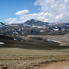
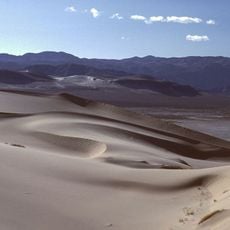
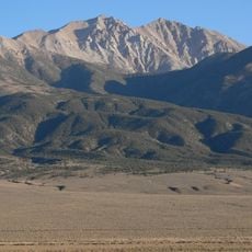
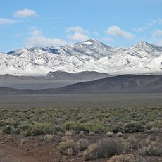
Tonopah Basin, Geological formation in central Nevada, US

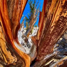
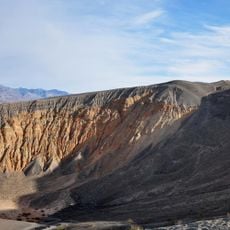
Tonopah Basin is a geological formation in central Nevada with layers of rhyolite and dacite interspersed with volcanic materials and pumice tuff. These rock layers tell the story of intense volcanic activity that shaped the landscape over millions of years.

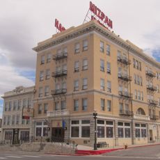
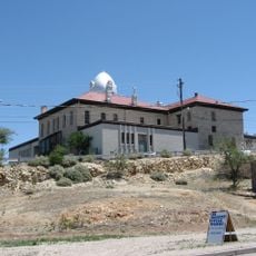
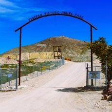
The area became famous in the late 1800s when silver deposits were discovered, sparking a major mining boom. Scientific studies of the rock formations began later to understand the valuable mineral resources and how they formed.

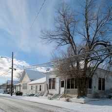
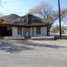
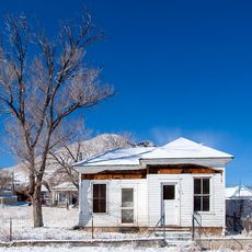
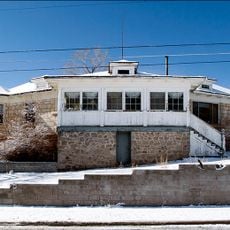
The discovery of silver deposits in the Tonopah Basin during the late 19th century transformed Nevada's mining industry and attracted numerous settlers.

The site sits in a dry region with minimal visitor facilities, so bring plenty of water and sun protection for any exploration. The best time to visit is during cooler months when the heat is less intense.

The rock layers in this basin date from different time periods: the lower layers are roughly 34.8 million years old, while the upper ones are around 24.3 million years old. This large time gap lets scientists distinguish two separate phases of volcanic activity.

The community of curious travelers

AroundUs brings together thousands of curated places, local tips, and hidden gems, enriched daily by 60,000 contributors worldwide.

Start exploring
Location
GPS coordinates
37.75000,-117.33300
Latest update
December 12, 2025 09:08
Around this place
Methuselah
United States of America

Methuselah

84.8 km
Scotty's Castle
United States of America

Scotty's Castle

79.9 km
Boundary Peak
United States of America

Boundary Peak

90.2 km
White Mountain Peak
United States of America

White Mountain Peak

82.3 km
Goldfield Hotel
United States of America

Goldfield Hotel

9.8 km
Mizpah Hotel
United States of America

Mizpah Hotel

36.5 km
Ubehebe Crater
United States of America

Ubehebe Crater

83.1 km
Shady Lady Ranch
United States of America

Shady Lady Ranch

61.8 km
Cottontail Ranch
United States of America

Cottontail Ranch

30.6 km
Combined Array for Research in Millimeter-wave Astronomy
United States of America

Combined Array for Research in Millimeter-wave Astronomy

88.5 km
Eureka Dunes
United States of America

Eureka Dunes

78.8 km
Esmeralda County Courthouse
United States of America

Esmeralda County Courthouse

9.8 km
White Mountains Wilderness
United States of America

White Mountains Wilderness

78.1 km
Goldfield Historic District
United States of America

Goldfield Historic District

9.8 km
George A. Bartlett House
United States of America

George A. Bartlett House

36.3 km
Nye County Courthouse
United States of America

Nye County Courthouse

36.4 km
State Bank and Trust Company Building
United States of America

State Bank and Trust Company Building

36.5 km
Tonopah Historic Mining Park
United States of America

Tonopah Historic Mining Park

36.7 km
St. Mark's Episcopal Church
United States of America

St. Mark's Episcopal Church

36.2 km
E.R. Shields House
United States of America

E.R. Shields House

36.3 km
John Gregovich House
United States of America

John Gregovich House

36.4 km
Judge W.A. Sawle House
United States of America

Judge W.A. Sawle House

36.4 km
Uri B. Curtis House
United States of America

Uri B. Curtis House

36.2 km
Grapevine Peak
United States of America

Grapevine Peak

88.8 km
Lower Vine Ranch
United States of America

Lower Vine Ranch

81.6 km
Death Valley Scotty Historic District
United States of America

Death Valley Scotty Historic District

81.6 km
Goldfield Visitor’s Center
United States of America

Goldfield Visitor’s Center

9.5 km
International Car Forest of The Last Church
United States of America

International Car Forest of The Last Church

10.8 km
Show the full map
Reviews
Share your experience

No review yet

Discussions
Start a discussion...

No discussion yet

« Tonopah Basin - Geological formation in central Nevada, US » is provided by Around Us (aroundus.com). Images and texts are derived from Wikimedia project under a Creative Commons license. You are allowed to copy, distribute, and modify copies of this page, under the conditions set by the license, as long as this note is clearly visible.

Discover hidden gems everywhere you go!

From secret cafés to breathtaking viewpoints, skip the crowded tourist spots and find places that match your style. Our app makes it easy with voice search, smart filtering, route optimization, and insider tips from travelers worldwide. Download now for the complete mobile experience.

Around Us App Screenshot

A unique approach to discovering new places

Le Figaro

All the places worth exploring

France Info

A tailor-made excursion in just a few clicks

20 Minutes

Around Us
Travel Guide & Maps
Download

Send to your phone

QR Code
1

Open the camera app on your mobile.

2

Point at the QR code with your camera. A notification will appear.

3

Tap the notification to open the link.