
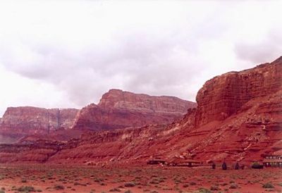
Vermilion Cliffs, Red cliffs in northern Arizona and southern Utah, United States.
The Vermilion Cliffs extend for 30 miles across the Colorado Plateau, rising 3,000 feet with layered sandstone walls displaying red and orange bands.
The federal government designated 112,500 acres of the region as the Paria Canyon-Vermilion Cliffs Wilderness Area in 1984 to protect natural resources.
Native American tribes from the region maintain strong connections to these lands, conducting traditional ceremonies and preserving ancestral archaeological sites.
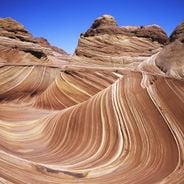
Visitors need permits from the Bureau of Land Management to access certain areas, including the Wave formation and overnight camping spots.
The cliffs contain rare California condor release sites, supporting the recovery program for North America's largest land birds.
Location: Mohave County
Location: Coconino County
Location: Kane County
Location: Washington County
Elevation above the sea: 1,707 m
GPS coordinates: 36.92528,-112.84194
Latest update: May 27, 2025 11:42
This guide presents Arizona's geological formations, desert landscapes and historical sites. The locations include sandstone rocks, Spanish missions, cave systems, petrified forests and archaeological sites. The natural areas display the geology of the American Southwest with canyons, cactus forests and volcanic formations.
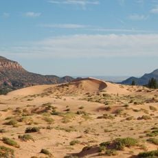
Coral Pink Sand Dunes State Park
16.6 km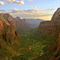
Zion Canyon
30.7 km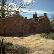
Pipe Spring National Monument
11.4 km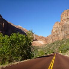
Zion – Mount Carmel Highway
33.9 km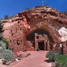
Moqui Cave
32.9 km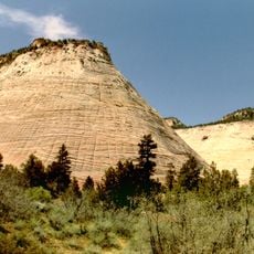
Checkerboard Mesa
32.6 km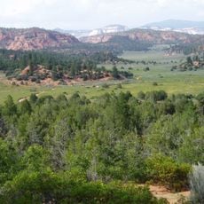
Canaan Mountain Wilderness
21.5 km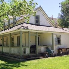
Big House
7.5 km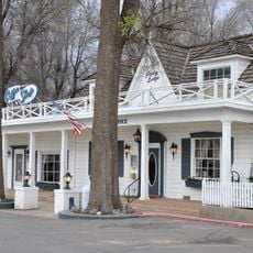
Parry Lodge
31.2 km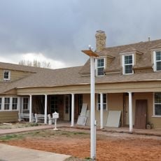
Kanab Lodge
30.7 km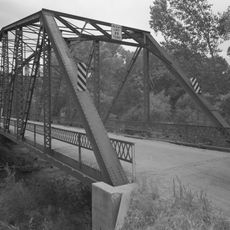
Rockville Bridge (Rockville, Utah)
31.2 km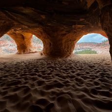
Moqui Caverns
32.9 km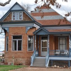
Rider-Pugh House
31 km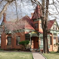
Bowman-Chamberlain House
31.1 km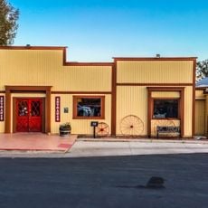
Chuckwagon Cookout
30.6 km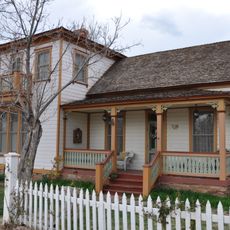
William Derby Johnson, Jr., House
31 km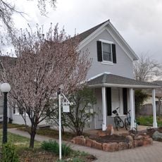
Stewart-Woolley House
31 km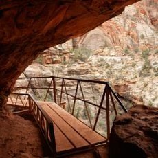
Canyon Overlook Trail
33.6 km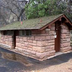
South Campground Comfort Station
33.4 km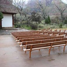
South Campground Amphitheater
33.4 km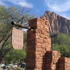
South Entrance Sign
33.4 km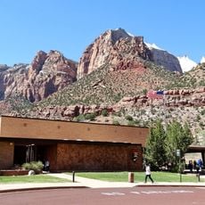
Zion Human History Museum
33.9 km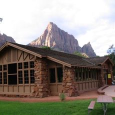
Zion Nature Center-Zion Inn
33.6 km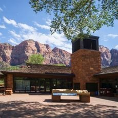
Zion Canyon Visitor Center
33.2 km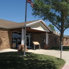
Pipe Spring National Monument Visitor Center
11.6 km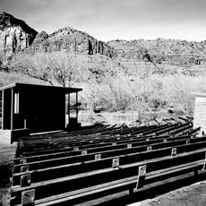
Watchman Campground Amphitheater
32.9 km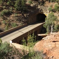
Upper Pine Creek Bridge
33.2 km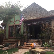
Herbert & Lillian Christensen House
32.5 kmReviews
Visited this place? Tap the stars to rate it and share your experience / photos with the community! Try now! You can cancel it anytime.
Discover hidden gems everywhere you go!
From secret cafés to breathtaking viewpoints, skip the crowded tourist spots and find places that match your style. Our app makes it easy with voice search, smart filtering, route optimization, and insider tips from travelers worldwide. Download now for the complete mobile experience.

A unique approach to discovering new places❞
— Le Figaro
All the places worth exploring❞
— France Info
A tailor-made excursion in just a few clicks❞
— 20 Minutes