
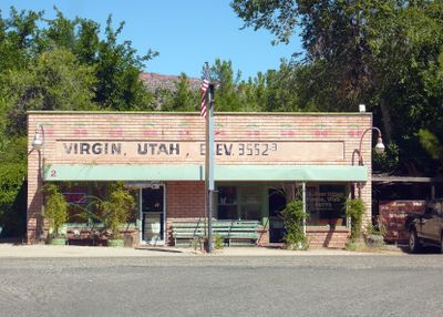
Virgin, town in Washington County, Utah, United States
Location: Washington County
Inception: 1857
Elevation above the sea: 1,099 m
Shares border with: Kanarraville
Website: http://virginutah.org
GPS coordinates: 37.20167,-113.18972
Latest update: March 7, 2025 17:55
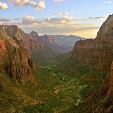
Zion Canyon
16.3 km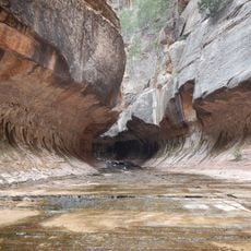
The Subway
17.2 km
Quail Creek State Park
17.3 km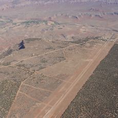
Hurricane Mesa
4.7 km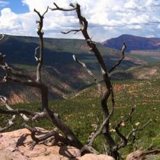
Blackridge Wilderness
15.6 km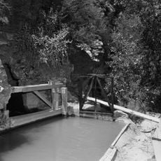
Hurricane Canal
8.1 km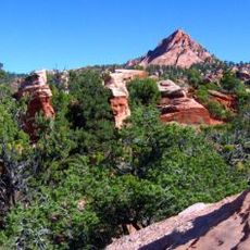
Red Butte Wilderness
17.8 km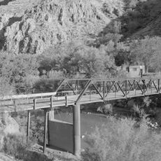
Hurricane-LaVerkin Bridge
7.2 km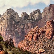
Towers of the Virgin
15.7 km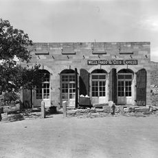
Wells Fargo and Company Express Building
16.7 km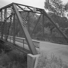
Rockville Bridge (Rockville, Utah)
14.3 km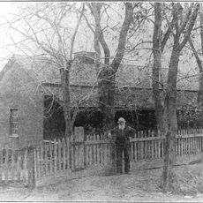
John Steele House
10.4 km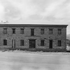
Naegle Winery
10.9 km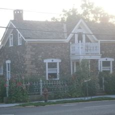
Thomas Forsyth House
10.2 km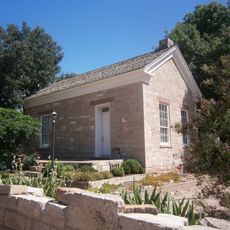
Leeds Tithing Office
15.8 km
James Jepson Jr. House
428 m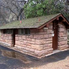
South Campground Comfort Station
18.3 km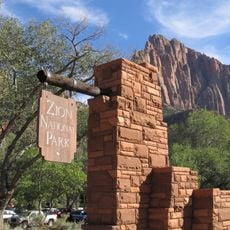
South Entrance Sign
17.8 km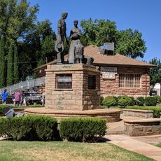
Hurricane Valley Heritage Park Museum
9.2 km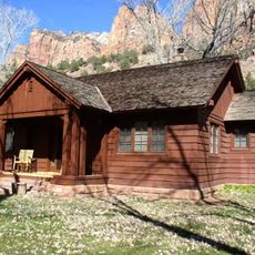
Oak Creek Historic District
18.2 km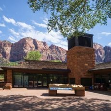
Zion Canyon Visitor Center
18 km
Quail Creek Reservoir
18.3 km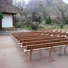
South Campground
18.3 km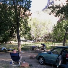
Watchman Campground
18 km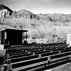
Watchman Campground Amphitheater
17.7 km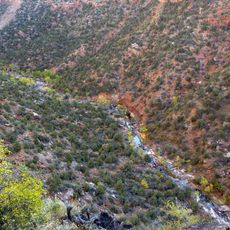
Great West Canyon
11.5 km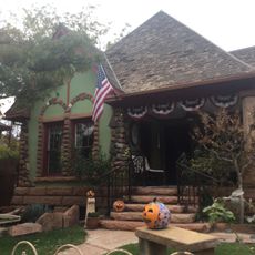
Herbert & Lillian Christensen House
16.8 km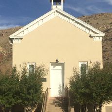
Toquerville Hall
10.3 kmVisited this place? Tap the stars to rate it and share your experience / photos with the community! Try now! You can cancel it anytime.
Discover hidden gems everywhere you go!
From secret cafés to breathtaking viewpoints, skip the crowded tourist spots and find places that match your style. Our app makes it easy with voice search, smart filtering, route optimization, and insider tips from travelers worldwide. Download now for the complete mobile experience.

A unique approach to discovering new places❞
— Le Figaro
All the places worth exploring❞
— France Info
A tailor-made excursion in just a few clicks❞
— 20 Minutes