
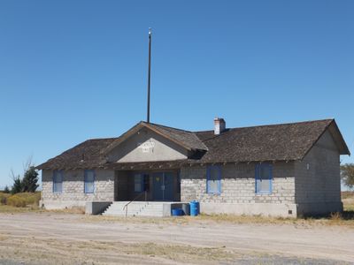
Harmon School, school in Churchill County, Nevada
Location: Churchill County
GPS coordinates: 39.49060,-118.68800
Latest update: September 23, 2025 14:26
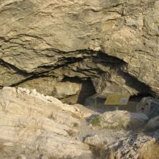
Lovelock Cave
53.7 km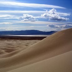
Sand Mountain
32.2 km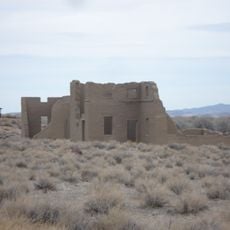
Fort Churchill State Historic Park
54.8 km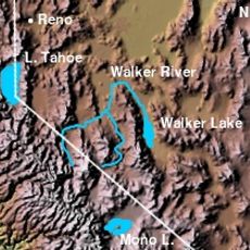
Walker River
49.6 km
Lahontan State Recreation Area
37 km
Humboldt Cave
43.6 km
Stillwater National Wildlife Refuge
24.6 km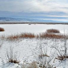
Fallon National Wildlife Refuge
29.8 km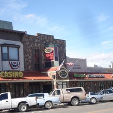
Dini's Lucky Club
69.3 km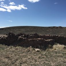
Cold Springs Pony Express Station Ruins
72.5 km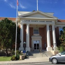
Lyon County Courthouse
69.5 km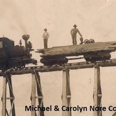
Salmon Creek Railroad
7.4 km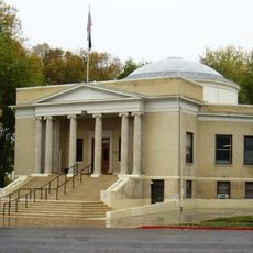
Pershing County Courthouse
74.3 km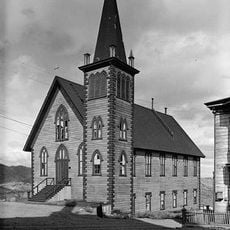
St. Paul's Episcopal Church
85 km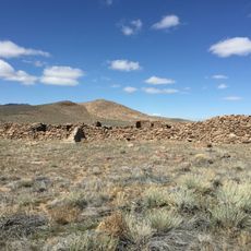
Cold Springs Station Site
72.6 km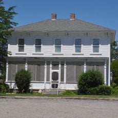
Marzen House
77.8 km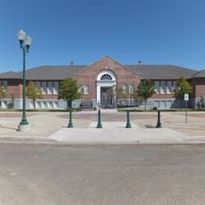
Oats Park Grammar School
7.1 km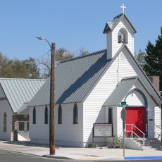
Holy Trinity Episcopal Church
7.8 km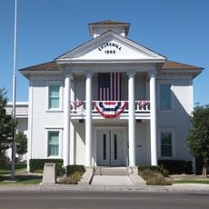
Churchill County Courthouse
8.2 km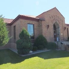
Fallon City Hall
7.9 km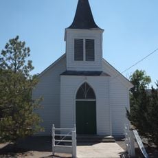
Wadsworth Union Church
53.6 km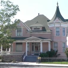
Robert L. Douglass House
7.8 km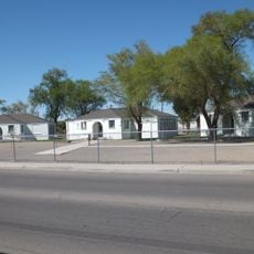
The Cottage Schools
7.7 km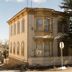
Parish House
84.9 km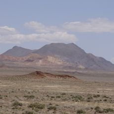
Topog Peak
44.2 km
Ragged Top Mountain
62 km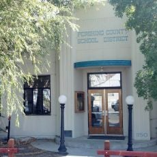
Vocational-Agriculture Building
84.9 km
U.S. Post Office-Lovelock Main
79 kmReviews
Visited this place? Tap the stars to rate it and share your experience / photos with the community! Try now! You can cancel it anytime.
Discover hidden gems everywhere you go!
From secret cafés to breathtaking viewpoints, skip the crowded tourist spots and find places that match your style. Our app makes it easy with voice search, smart filtering, route optimization, and insider tips from travelers worldwide. Download now for the complete mobile experience.

A unique approach to discovering new places❞
— Le Figaro
All the places worth exploring❞
— France Info
A tailor-made excursion in just a few clicks❞
— 20 Minutes