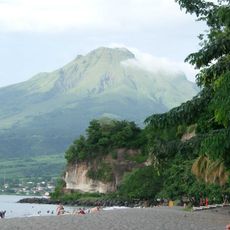
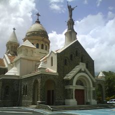
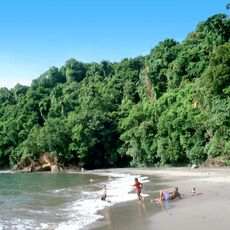
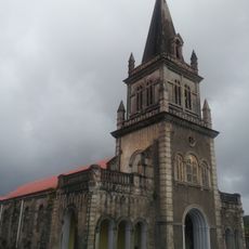
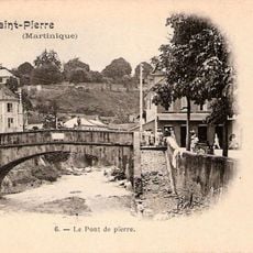
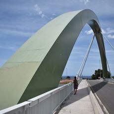
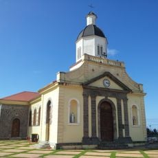
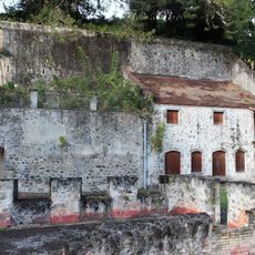
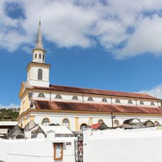
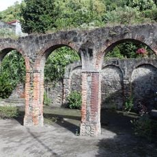
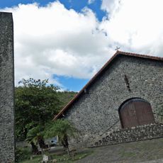
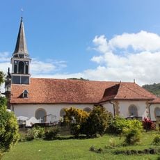
Arrondissement of Saint-Pierre, arrondissement in Martinique, France
Location: Martinique
Capital city: Saint-Pierre
Elevation above the sea: 76 m
Shares border with: arrondissement of La Trinité, arrondissement of Fort-de-France
GPS coordinates: 14.74611,-61.17583
Latest update: March 11, 2025 04:04
Mount Pelée
7.1 km
Rhum J.M.
1.7 km
Cachot de Cyparis
112 m
Fort Desaix
16 km
Rhum Depaz
1.7 km
Église du Sacré-Cœur de Balata
15 km
Co-Cathedral of Our Lady of Assumption, Saint-Pierre
626 m
Habitation Leyritz
12.7 km
Anse Couleuvre
11.7 km
Our Lady Church
5.4 km
Habitation Anse Latouche
1.6 km
Église du Fort de Saint-Pierre
583 m
Franck A. Perret Museum
46 m
Maison coloniale de santé
472 m
Observatoire du Morne des Cadets
3.4 km
Pont Roche
361 m
Pont du Prêcheur
8.3 km
Église de l'Immaculée-Conception de L'Ajoupa-Bouillon
11.1 km
Bureau du Génie et des Ponts et Chaussées
525 m
Église Saint-Jacques du Carbet
3.9 km
Ancien asile Bethléem
892 m
Batterie Sainte-Marthe
1.4 km
Rue Mont-au-Ciel
434 m
Église Saint-Pierre-aux-Liens de Bellefontaine
7.9 km
Église Notre-Dame-de-l'Assomption-et-Saint-Joseph de Case-Pilote
12.1 km
Domaine d'Emeraude
8 km
Pont militaire de Saint-Pierre
323 m
Cascade Didier
12.2 kmReviews
Visited this place? Tap the stars to rate it and share your experience / photos with the community! Try now! You can cancel it anytime.
Discover hidden gems everywhere you go!
From secret cafés to breathtaking viewpoints, skip the crowded tourist spots and find places that match your style. Our app makes it easy with voice search, smart filtering, route optimization, and insider tips from travelers worldwide. Download now for the complete mobile experience.
A unique approach to discovering new places❞
— Le Figaro
All the places worth exploring❞
— France Info
A tailor-made excursion in just a few clicks❞
— 20 Minutes