San Juan River, Mountain river in Colorado and New Mexico, United States.
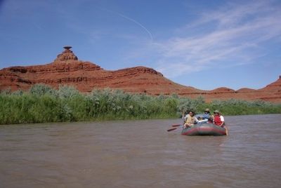
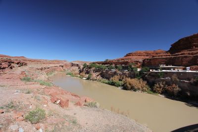
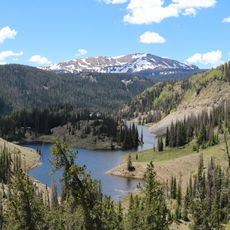
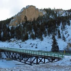
The San Juan River flows through the Four Corners region, carrying substantial sediment from the Colorado Plateau toward Lake Powell. The river cuts through canyons and creates varied geological formations as it moves across Colorado and New Mexico.
Spanish explorer Juan Rivera documented this river in the 1700s, naming it after Saint John the Baptist during his journeys. His expeditions brought geographic knowledge of the region back to Europe.
The river marked natural boundaries between Navajo territories to the south and Ute lands to the north before European settlement. Water routes shaped how indigenous peoples moved through and understood this region.
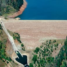
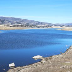
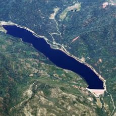
Navajo Dam in northwestern New Mexico controls the water flow for irrigation and flood prevention of agricultural areas. Water levels vary by season and dam operations, which visitors should keep in mind when planning a visit.
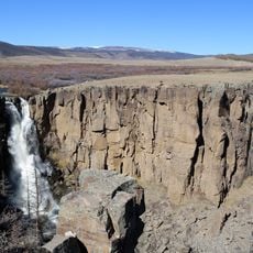
The river carries approximately 25 million tons of silt annually through desert landscapes, actively shaping deep canyons. This constant movement of sediment makes it one of the region's most powerful landscape shapers.
The community of curious travelers
AroundUs brings together thousands of curated places, local tips, and hidden gems, enriched daily by 60,000 contributors worldwide.