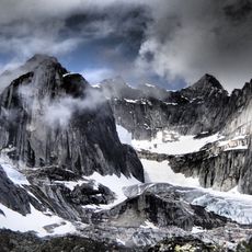
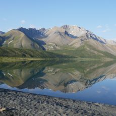
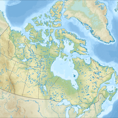
Mackenzie Mountains, Mountain range across Yukon and Northwest Territories, Canada.
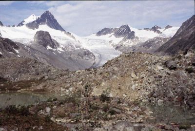
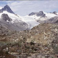
The Mackenzie Mountains form a mountain range spanning roughly 800 kilometers along the border between Yukon and Northwest Territories, with limestone peaks throughout. The highest point, Keele Peak, reaches 2,972 meters and dominates the skyline of this rugged terrain.
During World War II, the mountains gained strategic importance when the Norman Wells oil field was developed and a pipeline about 645 kilometers long was constructed through the region. This infrastructure brought major development activity and altered human presence in these remote territories.
The Dene Nation and other Indigenous peoples have long-standing connections to these mountains, using them as hunting and gathering grounds that remain central to their way of life. The landscape continues to hold deep meaning for these communities and their traditional practices.
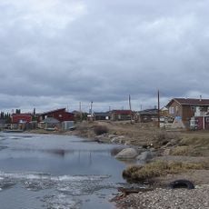
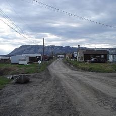
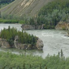
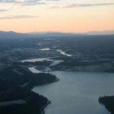
The region is accessible via the Nahanni Range Road and the Canol Road, with nearby settlements like Fort Simpson and Watson Lake offering supplies and services. Plan ahead for remote conditions and gather necessary resources before visiting this isolated mountain area.
The mountain range holds extensive mineral deposits including tungsten, cadmium, nickel, silver, gold, copper, and diamonds throughout its geological layers. These riches remain largely untouched and hidden within the remote peaks, adding geological significance to the landscape.
The community of curious travelers
AroundUs brings together thousands of curated places, local tips, and hidden gems, enriched daily by 60,000 contributors worldwide.