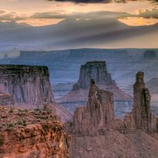
Upheaval Dome, Geological landform in Canyonlands National Park, Utah.
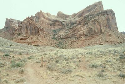
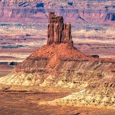
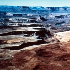
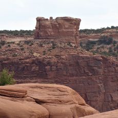
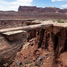
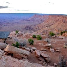
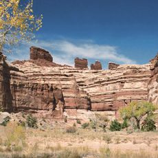
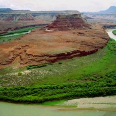
Upheaval Dome is a circular geological formation in Canyonlands characterized by a prominent central peak rising distinctly above the surrounding landscape. The structure displays layered rock exposed across its flanks, creating a dramatic depression that can be viewed from several vantage points along the established trails.
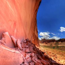
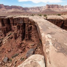
This formation originated from a major geological event that reshaped the landscape and exposed rock layers from ancient periods. The structure was shaped by processes that displaced and deformed stone layers, leaving visible evidence of intense forces in its current arrangement.
Scientists and researchers regularly visit this site to study the ongoing debate between meteorite impact and salt dome formation theories.
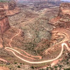
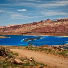
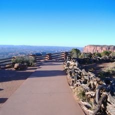
The best way to reach this location is a drive through a quiet section of the park with multiple viewpoints where you can stop and explore. The route from the visitor center takes some time to drive, so it helps to start early and allow adequate time for pauses along the way.
Scientists continue to debate whether this structure formed from a meteorite impact or from salt dome processes. The competing theories interpret the same geological features differently, making it a site of ongoing research and discovery.
Location: San Juan County
GPS coordinates: 38.42455,-109.92925
Latest update: December 6, 2025 16:02
Utah preserves thousands of years of human history alongside some of North America's most varied geological landscapes. The region contains extensive rock art panels and Ancestral Pueblo ruins, including the 13th-century stone structures at Bears Ears National Monument and the 650-plus petroglyphs...
Utah monolith
24.7 km
Dead Horse Point State Park
19.3 km
Horseshoe Canyon
19 km
False Kiva
1.2 km
Mesa Arch
7 km
Canyon Lands
10.4 km
Airport Tower
11.1 km
Monster Tower
8.9 km
Buttes of the Cross
12.8 km
Candlestick Tower
4.9 km
Junction Butte
16.1 km
Denis Julien Inscription
16.2 km
Stillwater Canyon
26.4 km
Elaterite Butte
24.9 km
Muffin Butte
7.1 km
Horseshoe Canyon Archeological District
24.6 km
Musselman Arch
14 km
Potash Road Dinosaur Tracks and Petroglyphs
30.5 km
Shafer Trail
11.5 km
Hell Roarding Canyon
16.3 km
The Needles Overlook
26.5 km
Labyrinth Canyon
7.9 km
Musselman Canyon
16.7 km
Shafer Basin
24.3 km
Chocolate Drops
23.2 km
Grand View Point Overlook
13.4 km
Beehive Arch
28.8 km
Turks Head
9.1 kmVisited this place? Tap the stars to rate it and share your experience / photos with the community! Try now! You can cancel it anytime.
Discover hidden gems everywhere you go!
From secret cafés to breathtaking viewpoints, skip the crowded tourist spots and find places that match your style. Our app makes it easy with voice search, smart filtering, route optimization, and insider tips from travelers worldwide. Download now for the complete mobile experience.
A unique approach to discovering new places❞
— Le Figaro
All the places worth exploring❞
— France Info
A tailor-made excursion in just a few clicks❞
— 20 Minutes