
Wüjang, village in China
Location: 多玛乡 (日土县)
Elevation above the sea: 5,272 m
GPS coordinates: 33.61670,79.91670
Latest update: April 15, 2025 10:24
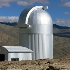
Indian Astronomical Observatory
128.7 km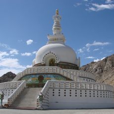
Shanti Stupa
225.1 km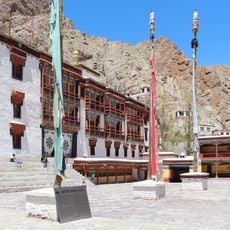
Hemis Monastery
207.5 km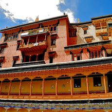
Thikse Monastery
213.7 km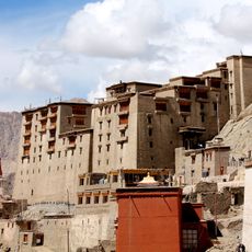
Leh Palace
223.8 km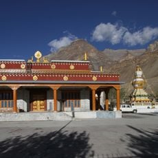
Tabo Monastery, Himachal Pradesh
222.1 km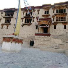
Shey Monastery
217 km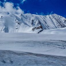
Shilla
209.3 km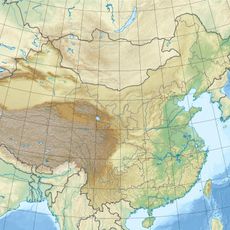
Liushi Shan
210.1 km
Zorawar Fort
225.1 km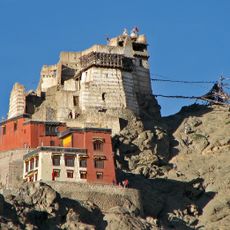
Namgyal Tsemo Monastery
223.5 km
Korzok Monastery
170.9 km
Kang Yatze
219.1 km
Stok Monastery
225.2 km
Matho Monastery
215.7 km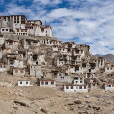
Chemrey Monastery
199.7 km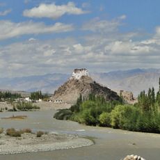
Stakna Monastery
210.9 km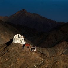
Sankar Monastery
224.2 km
Takthok Monastery
198.7 km
Hanle Monastery
125.5 km
Lhalung Monastery
227 km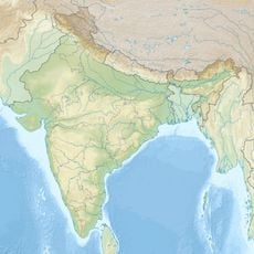
Kangju Kangri
129.3 km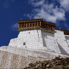
Old Castle at Tsemo Hill
223.5 km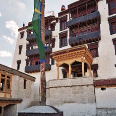
Palace of Stok
224.7 km
Khardong
211.2 km
Tabo caves
221.9 km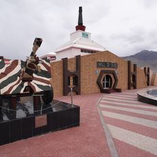
Hall of Fame
227.1 km
Tisserru Stupa
224.5 kmReviews
Visited this place? Tap the stars to rate it and share your experience / photos with the community! Try now! You can cancel it anytime.
Discover hidden gems everywhere you go!
From secret cafés to breathtaking viewpoints, skip the crowded tourist spots and find places that match your style. Our app makes it easy with voice search, smart filtering, route optimization, and insider tips from travelers worldwide. Download now for the complete mobile experience.

A unique approach to discovering new places❞
— Le Figaro
All the places worth exploring❞
— France Info
A tailor-made excursion in just a few clicks❞
— 20 Minutes