Bandelier National Monument, Archaeological site in Los Alamos and Sandoval Counties, United States.
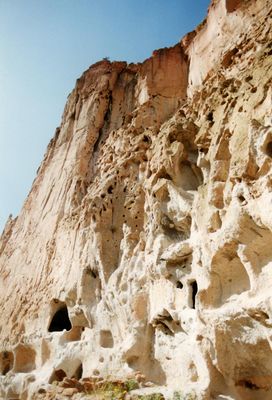
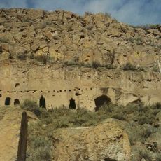
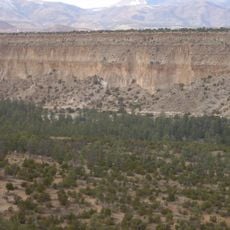
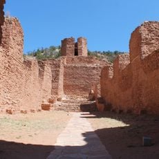
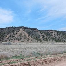
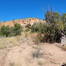
Bandelier National Monument is an archaeological site on the Pajarito Plateau featuring ancient cliff dwellings, rock carvings, and stone structures built into volcanic formations. The sprawling grounds contain multiple areas where you can explore the remains of these settlements connected by walking trails.
The site preserves Ancestral Puebloan settlements from between 1150 and 1600. The monument was established in 1916 and named after anthropologist Adolph Bandelier, who studied the history of the place.
The site reflects the presence of 23 Native American nations through pottery, tools, and shared living spaces visible during a walk through the monument. These objects and structures give you a direct sense of how people organized their daily lives in this place.
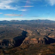
The main areas are reached by well-marked trails, some with ladders leading to elevated dwellings. Wear comfortable shoes as the paths are uneven and some spots require climbing.
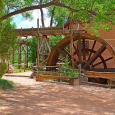
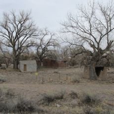
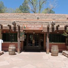
The monument was expanded in the 1930s by the Civilian Conservation Corps, which used local materials to build facilities that remain architecturally significant today. These structures add a historical layer beyond the original Pueblo buildings.
The community of curious travelers
AroundUs brings together thousands of curated places, local tips, and hidden gems, enriched daily by 60,000 contributors worldwide.