Chest opened
+${chestReward.xp} XP
Explorer
NOUVEAU ×${chestReward.collectible.quantity}
tapez pour fermer
Chest locked

Open chests in the app

Around Us is built for your phone — chests unlock when you walk, explore and capture nearby places.

Enable Location

We need your location to show you interesting places around you

Discover nearby places

Find interesting locations and hidden gems around you

Precise directions

Get accurate directions and distances to places

Your location is never shared with other users. It's only used when you tap the location button.

Carson National Forest

Log in to your account

Start exploring — it's free

Trusted by 72,891 travelers worldwide

Continue with Google
Continue with Apple
or

We will send you a code to connect

By continuing, you accept our Terms and Conditions and our Privacy Policy

Check your inbox

We've sent a pincode in your inbox. Please enter the code below.

Carson National Forest
Discussion Reviews 1 Photos
17.8k Popularity

Carson National Forest, National forest in northern New Mexico, United States

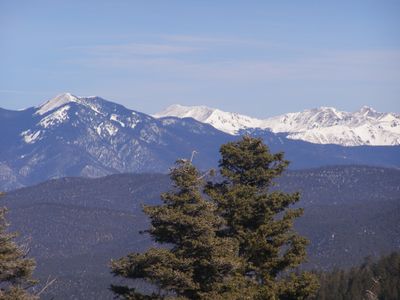
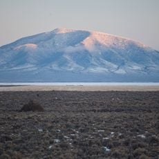
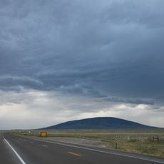
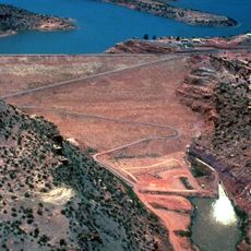
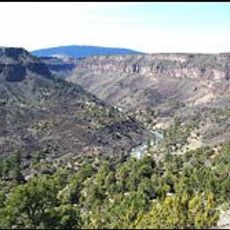
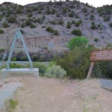
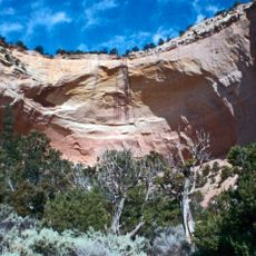
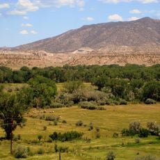
Carson National Forest covers mountainous terrain in northern New Mexico with elevations ranging from 6,000 to over 13,000 feet (1,829 to 3,962 meters). The landscape combines peaks, river valleys, and coniferous forests that support diverse ecosystems throughout the region.

The forest was established in 1908 by consolidating the Taos National Forest with portions of the Jemez National Forest, incorporating lands from earlier Spanish and American territorial claims.

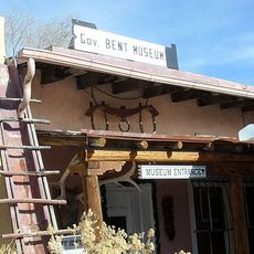
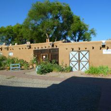
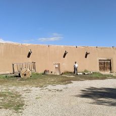
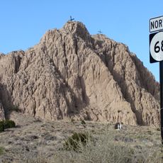
The forest holds deep significance for the Taos Pueblo community, who continue to gather there for ceremonies and traditional practices that connect them to their ancestral lands.

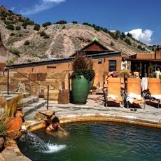
The forest contains more than 300 miles of trails suited for hiking and horseback riding at various skill levels. Winter visitors can enjoy cross-country skiing on designated routes, and multiple resorts throughout the area offer year-round mountain recreation.

Blue Lake, held sacred by the Taos Pueblo, was returned to the tribe in 1970 after decades of separation from the forest lands. This return marked one of the few times the federal government formally returned territory to a Native American nation.

The community of curious travelers

AroundUs brings together thousands of curated places, local tips, and hidden gems, enriched daily by 60,000 contributors worldwide.

Start exploring
Location
GPS coordinates
36.51722,-106.06694
Latest update
December 7, 2025 19:23
Around this place
Ghost Ranch
United States of America

Ghost Ranch

42 km
Rio Grande Gorge Bridge
United States of America

Rio Grande Gorge Bridge

30.3 km
D. H. Lawrence Ranch
United States of America

D. H. Lawrence Ranch

42.9 km
Georgia O'Keeffe Home and Studio
United States of America

Georgia O'Keeffe Home and Studio

41.1 km
Rio Grande del Norte National Monument
United States of America

Rio Grande del Norte National Monument

33.9 km
Ojo Caliente Mineral Springs Resort & Spa
United States of America

Ojo Caliente Mineral Springs Resort & Spa

23.1 km
San Antonio Mountain
United States of America

San Antonio Mountain

38.4 km
Martinez Hacienda
United States of America

Martinez Hacienda

43 km
Harwood Museum of Art
United States of America

Harwood Museum of Art

45.5 km
John Dunn Bridge
United States of America

John Dunn Bridge

32.1 km
Abiquiu Dam
United States of America

Abiquiu Dam

44.7 km
Wild Rivers Recreation Area
United States of America

Wild Rivers Recreation Area

39.6 km
Ojo Caliente Hot Springs Round Barn
United States of America

Ojo Caliente Hot Springs Round Barn

23.1 km
Ranchos de Taos Plaza
United States of America

Ranchos de Taos Plaza

44.8 km
Governor Charles Bent House
United States of America

Governor Charles Bent House

45.9 km
Ernest L. Blumenschein House
United States of America

Ernest L. Blumenschein House

45.6 km
Posi-ouinge
United States of America

Posi-ouinge

23.6 km
La Loma Plaza Historic District
United States of America

La Loma Plaza Historic District

45.2 km
Tsama Pueblo
United States of America

Tsama Pueblo

38.2 km
Embudo Stream Gauging Station
United States of America

Embudo Stream Gauging Station

35.9 km
Carson School
United States of America

Carson School

31.9 km
Bernard J. Beimer House
United States of America

Bernard J. Beimer House

45.7 km
Classical Gas Museum
United States of America

Classical Gas Museum

35.8 km
Hacienda de Los Martinez Museum
United States of America

Hacienda de Los Martinez Museum

43.1 km
Echo amphitheatre
United States of America

Echo amphitheatre

44.9 km
Georgia O'keefe museum and home
United States of America

Georgia O'keefe museum and home

41.1 km
Barrancos Blancos
United States of America

Barrancos Blancos

36.6 km
Veterans Memorial
United States of America

Veterans Memorial

45.8 km
Show the full map
Reviews
Share your experience

No review yet

Discussions
Start a discussion...

No discussion yet

« Carson National Forest - National forest in northern New Mexico, United States » is provided by Around Us (aroundus.com). Images and texts are derived from Wikimedia project under a Creative Commons license. You are allowed to copy, distribute, and modify copies of this page, under the conditions set by the license, as long as this note is clearly visible.

Discover hidden gems everywhere you go!

From secret cafés to breathtaking viewpoints, skip the crowded tourist spots and find places that match your style. Our app makes it easy with voice search, smart filtering, route optimization, and insider tips from travelers worldwide. Download now for the complete mobile experience.

Around Us App Screenshot

A unique approach to discovering new places

Le Figaro

All the places worth exploring

France Info

A tailor-made excursion in just a few clicks

20 Minutes

Around Us
Travel Guide & Maps
Download

Send to your phone

QR Code
1

Open the camera app on your mobile.

2

Point at the QR code with your camera. A notification will appear.

3

Tap the notification to open the link.