Rio Grande National Forest, National forest in Colorado, United States
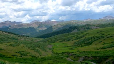
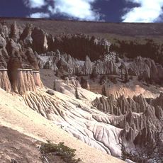
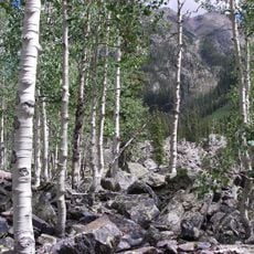
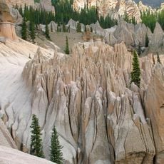
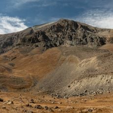
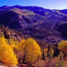
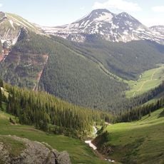
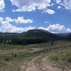
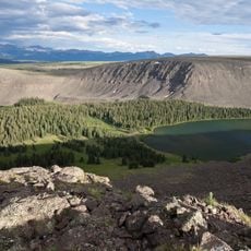
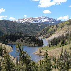
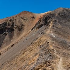
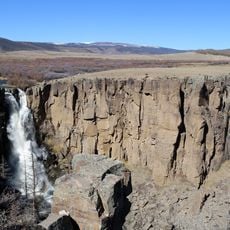
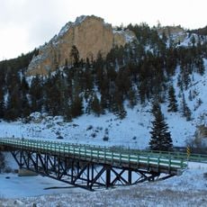
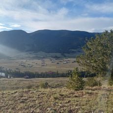
Rio Grande National Forest is a large forest area in southern Colorado with elevations ranging from 7,000 to 14,000 feet, with Blanca Peak being the highest point. The terrain includes mountainsides, valleys, and water features spread across a vast expanse.
The Forest Service established this area as a national forest in 1908 to protect natural resources. This action marked the start of organized management and sustainable use of the land.
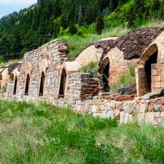
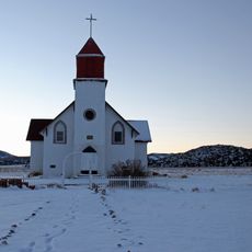
Indigenous peoples lived throughout this region before European settlement, and visitors can observe evidence of their presence at different locations across the land. The area remains important to local communities who depend on its resources.
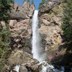
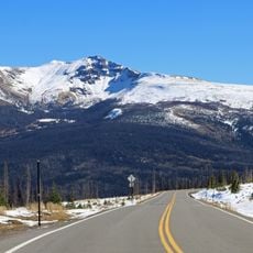
The area offers several camping areas, hiking trails, and fishing spots for different experience levels and interests. Visitors should obtain maps beforehand and check seasonal conditions before planning their visit.
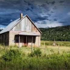
Part of the forest sits within the San Luis Valley, one of the highest farming regions in North America. This distinctive plateau is surrounded by mountains and stands apart from typical agricultural areas.
The community of curious travelers
AroundUs brings together thousands of curated places, local tips, and hidden gems, enriched daily by 60,000 contributors worldwide.