
Chalk Cliffs, cliff in Uintah County, Utah, United States of America
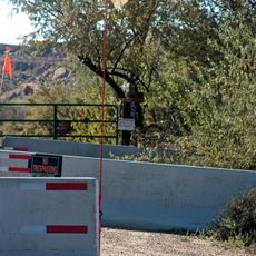
Skinwalker Ranch
35.2 km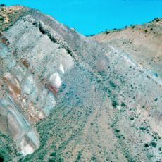
Morrison Formation
48.5 km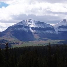
King's Peak
49.8 km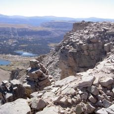
High Uintas Wilderness
57.9 km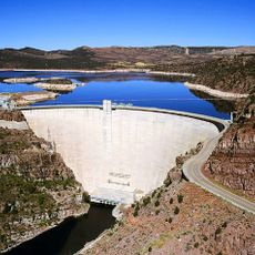
Flaming Gorge Dam
52.3 km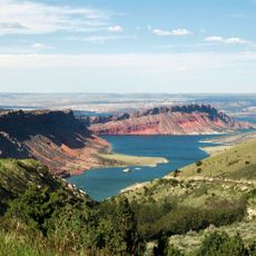
Flaming Gorge National Recreation Area
39.4 km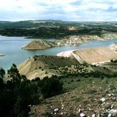
Red Fleet State Park
35.1 km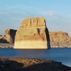
Lone Rock
12.4 km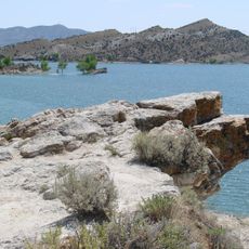
Steinaker State Park
27.5 km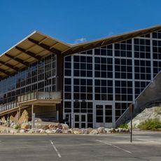
Quarry Visitor Center
48.5 km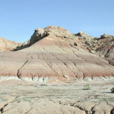
Ouray National Wildlife Refuge
49.6 km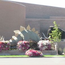
Utah Field House of Natural History State Park Museum
30.7 km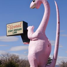
Dinah the Pink Dinosaur
31.3 km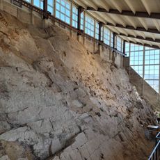
Quarry Exhibit Hall
48.5 km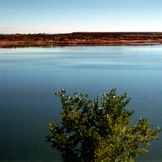
Big Sand Wash Reservoir
44.4 km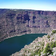
Utah Field House of Natural History State Park Museum
30.7 km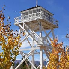
Ute Mountain Fire Tower
33.6 km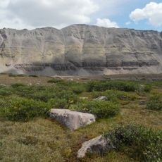
South Kings Peak
49.7 km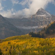
Mount Emmons
41.5 km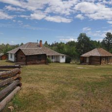
Swett Ranch
45.7 km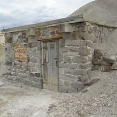
Earl Douglass Workshop-Laboratory
48.5 km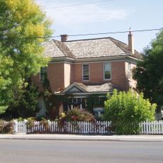
Lewis Curry House
30.6 km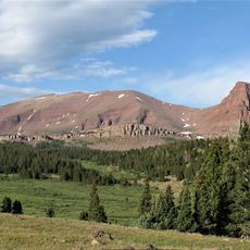
Mount Powell
54.9 km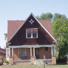
Manfred and Ethel Martin House
29.9 km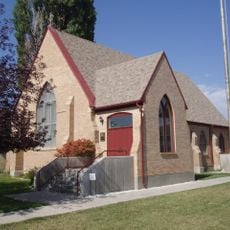
St. Paul's Episcopal Church and Lodge
29.7 km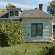
Gibson-Sowards House
27.8 km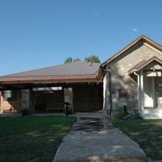
Vernal Tithing Office
29.4 km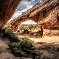
Moonshine Arch
25.5 kmReviews
Visited this place? Tap the stars to rate it and share your experience / photos with the community! Try now! You can cancel it anytime.
Discover hidden gems everywhere you go!
From secret cafés to breathtaking viewpoints, skip the crowded tourist spots and find places that match your style. Our app makes it easy with voice search, smart filtering, route optimization, and insider tips from travelers worldwide. Download now for the complete mobile experience.

A unique approach to discovering new places❞
— Le Figaro
All the places worth exploring❞
— France Info
A tailor-made excursion in just a few clicks❞
— 20 Minutes