
Garfield County, Administrative county in Colorado, United States.
The county extends over 2,956 square miles in western Colorado, encompassing mountains, valleys, and the Colorado River through its territory.
Established in 1883 and named after President James A. Garfield, this county developed from mining activities into a diversified regional center.
The Garfield County Fair and Rodeo brings together local communities each July with agricultural exhibitions, competitions, and traditional performances.
Interstate 70 crosses through the county from east to west, connecting the main population centers of Glenwood Springs, Rifle, and New Castle.
The county contains sections of three national forests: White River, Grand Mesa, and Flat Tops Wilderness, offering extensive outdoor recreation areas.
Location: Colorado
Inception: 1883
Capital city: Glenwood Springs
Shares border with: Rio Blanco County, Mesa County, Pitkin County, Eagle County, Routt County, Grand County, Uintah County
Website: http://garfield-county.com
GPS coordinates: 39.60000,-107.90000
Latest update: May 27, 2025 09:50
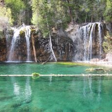
Hanging Lake
60.7 km
Glenwood Canyon
58.1 km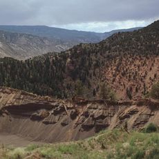
Dotsero
74.5 km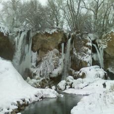
Rifle Falls State Park
19 km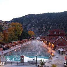
Glenwood Hot Springs Pool
49.8 km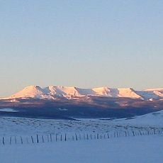
Flat Top Mountain
83.7 km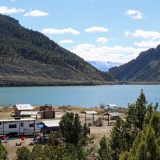
Rifle Gap State Park
13 km
Flat Tops Wilderness Area
67.7 km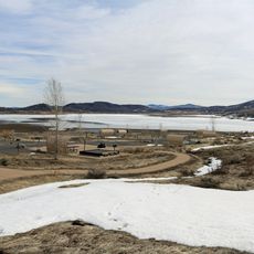
Vega State Park
42.8 km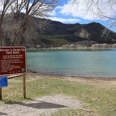
Harvey Gap State Park
21 km
Land's End Observatory
69.8 km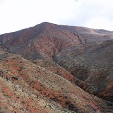
Storm King Mountain
42.8 km
CAF Rocky Mountain Wing Museum
76 km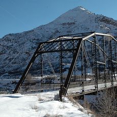
South Canon Bridge
42.5 km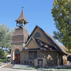
St. James Episcopal Church
48.8 km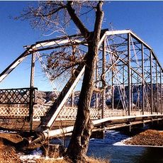
Rifle Bridge
13 km
Clifton Community Center and Church
73.8 km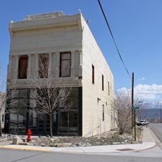
IOOF Hall
40.1 km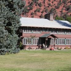
Sumers Lodge
51.2 km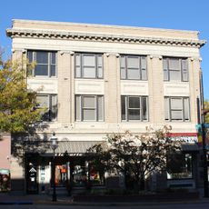
Citizens National Bank Building
49.8 km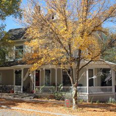
Starr Manor
50.1 km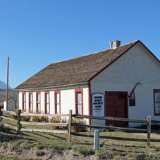
Missouri Heights School
68.1 km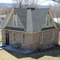
Wasson-McKay Place
21.3 km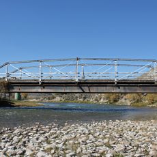
Hay's Ranch Bridge
48.9 km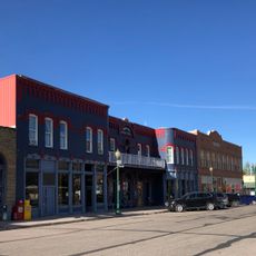
Meeker Historic District
48.7 km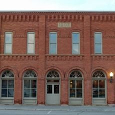
Meeker I.O.O.F. Lodge—Valentine Lodge No. 47
48.7 km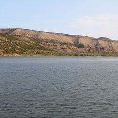
Kenney Reservoir
90 km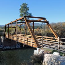
Satank Bridge
61 kmReviews
Visited this place? Tap the stars to rate it and share your experience / photos with the community! Try now! You can cancel it anytime.
Discover hidden gems everywhere you go!
From secret cafés to breathtaking viewpoints, skip the crowded tourist spots and find places that match your style. Our app makes it easy with voice search, smart filtering, route optimization, and insider tips from travelers worldwide. Download now for the complete mobile experience.

A unique approach to discovering new places❞
— Le Figaro
All the places worth exploring❞
— France Info
A tailor-made excursion in just a few clicks❞
— 20 Minutes