Marble, town in Gunnison County, Colorado, United States
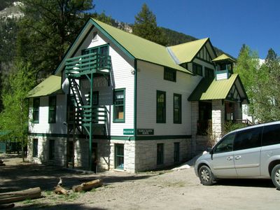
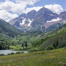
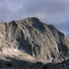
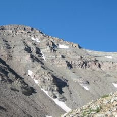
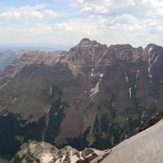
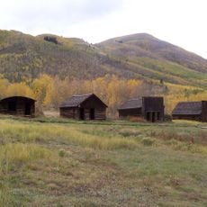
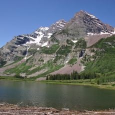
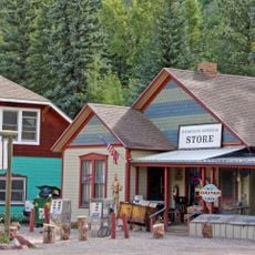
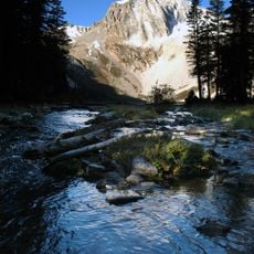
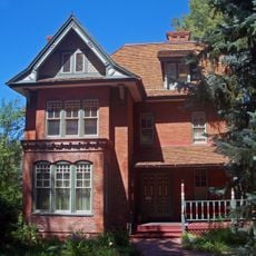
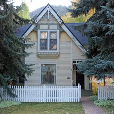
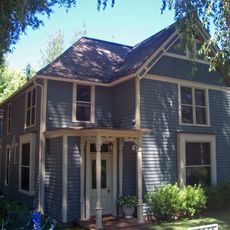
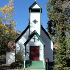
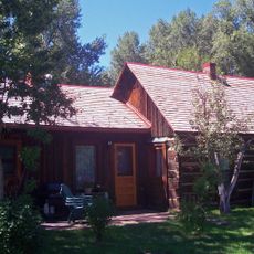
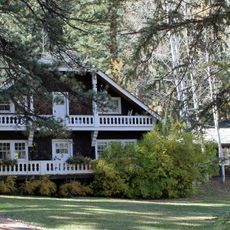
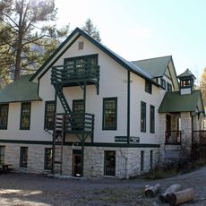
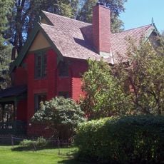
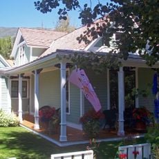
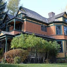
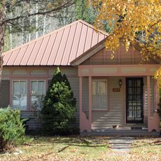
Marble is a small village in the mountains of Colorado, located in Gunnison County at an elevation of nearly 8,000 feet (2,400 m) and surrounded by high peaks and green forests. The town has a few streets with modest buildings, many constructed from local stone, and is crossed by the Crystal River flowing through the mountain landscape.
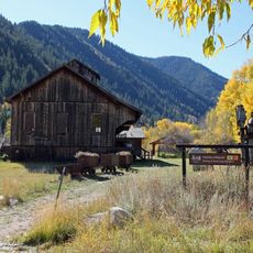
The village emerged in the late 1800s when workers arrived to quarry Yule Marble from surrounding hills, which later was used for famous monuments including the Lincoln Memorial and parts of the Washington Monument. In the 20th century, the marble quarry declined and the town lost population, but it later revived as a destination for nature lovers and outdoor enthusiasts.
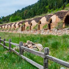
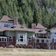
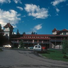
The name reflects the white marble quarried from nearby hills, which defined the community's identity for over a century. Visitors can see the stone buildings from that era today, which give the place a sturdy appearance and connect daily life to its mining heritage.
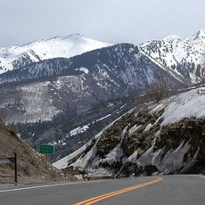
The village sits at an elevation of nearly 8,000 feet (2,400 m) and is most easily visited from early June through mid-October when mountain passes remain clear of snow and road conditions are favorable. In winter, access roads can become difficult, so visitors should check local conditions and prepare with appropriate gear and vehicles.
The Yule Marble from this region was so high quality that it was chosen for the Lincoln Memorial and parts of the Washington Monument, connecting this small town to some of America's most famous buildings. Despite this historic significance, the place remains a quiet retreat today, with few visitors knowing of its illustrious past.
The community of curious travelers
AroundUs brings together thousands of curated places, local tips, and hidden gems, enriched daily by 60,000 contributors worldwide.