Browns Park National Wildlife Refuge, National wildlife refuge in northwestern Colorado, United States.
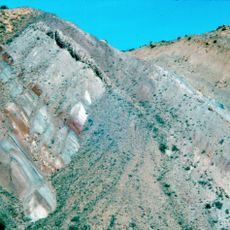
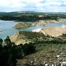
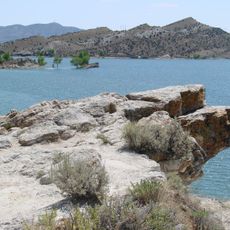
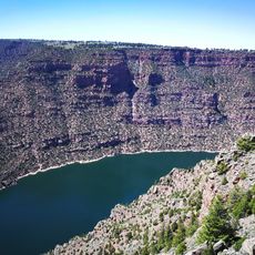
Browns Park National Wildlife Refuge is a federally protected area in the remote northwestern corner of Colorado, where the Green River runs through the valley. The land covers a mix of wetlands, open grasslands, and pinyon pine forest spread between the Cold Springs and Diamond Mountains.
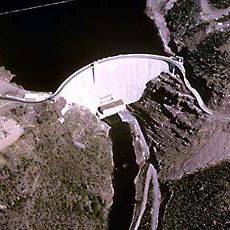
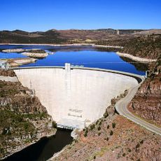
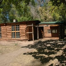
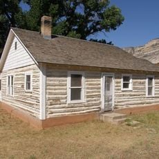
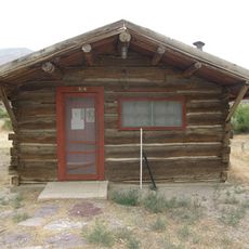
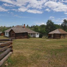
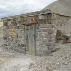
Fort Davy Crockett was built in 1837 inside what is now the refuge to protect fur traders from conflicts with Blackfoot groups. Decades later, the Flaming Gorge Dam put an end to the natural river flooding that had shaped the land for centuries.
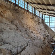
Rock carvings made by the Fremont people can be spotted on stone surfaces in several parts of the refuge, left behind by early inhabitants of this valley. In the 19th century, trading posts in this area drew mountain men and tribal groups together, making it a meeting point for many different peoples.
The refuge is in a remote area and is best reached via State Highway 318 heading northwest from Maybell. Visitors should stay within marked areas and are not allowed to take plants, animal remains, or any natural objects from the grounds.
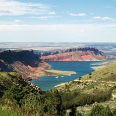
The refuge has nine managed marsh areas that were built specifically to replace the wetland habitat lost when the Flaming Gorge Dam stopped natural flooding. These constructed wetlands now draw hundreds of bird species that once depended on the river's seasonal rise and fall.
The community of curious travelers
AroundUs brings together thousands of curated places, local tips, and hidden gems, enriched daily by 60,000 contributors worldwide.