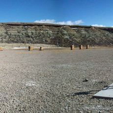
White Mountain, Mountain site with petroglyphs in Sweetwater County, United States
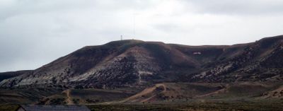
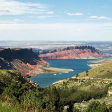
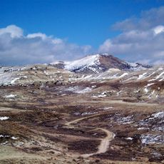
White Mountain is a peak reaching 7,623 feet that stretches through central Sweetwater County between Rock Springs and Green River in Wyoming. Its sandstone cliffs are covered with carved figures from ancient times.
The site contains archaeological evidence of Native American presence, with carved images dating back 200 to 1,000 years. These petroglyphs document hunting traditions and spiritual practices that persisted across generations in the region.
The sandstone cliffs showcase carved figures of bison hunts, elk pursuits, and geometric designs left by people who lived here generations ago. These engravings offer a window into the daily lives and beliefs of the communities that inhabited this region.
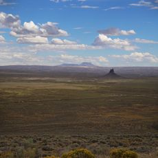
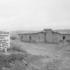
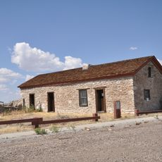
The petroglyph site requires a vehicle and is accessed via State Highway 191 north to County Road 4-17 heading east. The warmer months offer the best visiting conditions, when backcountry roads are most accessible.
The summit today hosts multiple communication towers broadcasting radio and television signals across the region. This contemporary use creates an unusual blend of ancient cultural heritage and modern technology at the same location.
The community of curious travelers
AroundUs brings together thousands of curated places, local tips, and hidden gems, enriched daily by 60,000 contributors worldwide.